
 Country guide
Driving roads in Bosnia and Herzegovina
All 2 driving roads in Bosnia and Herzegovina on one interactive map, each with its route, climb and best seasons.
Roads2mapped
Combined31 mi50 km of driving
High point852 m2,795 ft
The roads
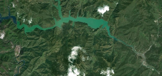
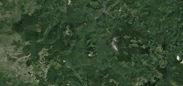
Collections featuring Bosnia and Herzegovina
Guides for this region
Nearby countries

 Montenegro

 Kosovo

 Serbia
Driving in Bosnia and Herzegovina: common questions
What is the best driving road in Bosnia and Herzegovina?
Neretva Canyon Road is the place to start. The M-17 between Konjic and Jablanica carves through one of the Balkans’ most spectacular river gorges, following the electric-turquoise Neretva between limestone cliffs.
How many great driving roads does Bosnia and Herzegovina have?
2 roads in our catalogue, 31 miles of driving in all, every one traced from OpenStreetMap.
When is the best time to drive in Bosnia and Herzegovina?
Most of the roads here are at their best in spring and summer. Several of the higher routes close over winter, so check the season before a cold-weather trip.