Herzegovina-Neretva · Bosnia and Herzegovina
Neretva Canyon Road
M-17Konjic to Jablanica
Distance13.5 mi22 km
Drive time25 minon the road
DifficultyEasytightness 3 of 10
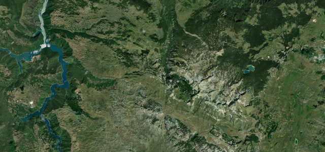
The M-17 between Konjic and Jablanica carves through one of the Balkans' most spectacular river gorges, following the electric-turquoise Neretva between limestone cliffs.
Head south-west from Konjic on the M-17 as it enters the Neretva gorge. The road clings to the canyon wall with the turquoise river close below and vertical limestone faces on both sides. Several bridges cross and re-cross the Neretva as the valley tightens before widening into the Jablaničko reservoir plain approaching Jablanica.
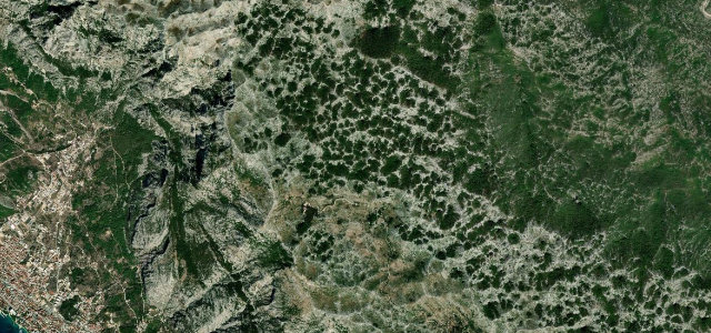
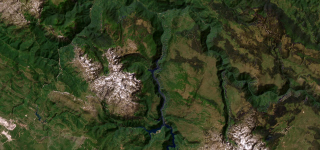
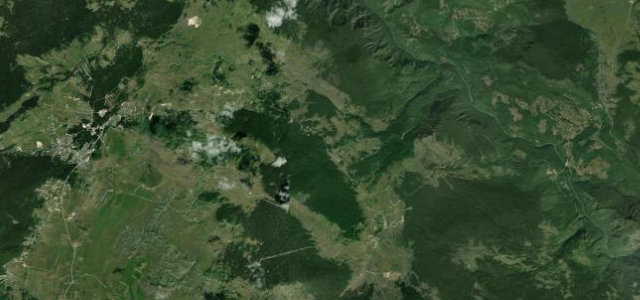
Scenery
GorgeValleyMountain
Where it runs
KonjicStart · Herzegovina-Neretva
JablanicaEnd · Herzegovina-Neretva
Navigate to the start: Apple Maps · Google Maps
Character
Corners4bends
Tightness3of 10
Max gradient8%≈ 1-in-13
Climb182 mtotal ascent
Summit331 mhighest point of the line · 1,086 ft
Elevation
under 4%4–8%over 8%202 – 331 mHazards
- heavy freight traffic
- limited overtaking
- narrow sections
Sources: Road geometry © OpenStreetMap contributors
Nearby roads
The closest great drives to Neretva Canyon Road.
Neretva Canyon Road
Directions