Republika Srpska · Bosnia and Herzegovina
Sutjeska National Park Road
M-20Foča to Tjentište
Distance17.3 mi28 km
Drive time35 minon the road
DifficultyModeratetightness 5 of 10
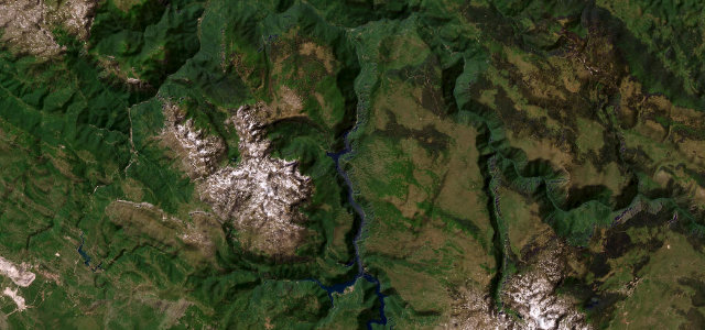
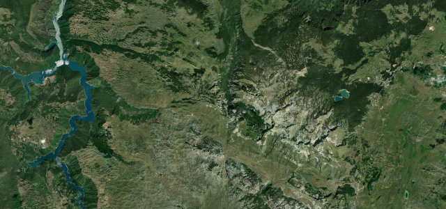
The M-20 plunges south-west from Foča into Bosnia’s oldest national park, threading a 1,200-metre-deep canyon between the Zelengora and Maglić massifs.
From Foča take the M-20 south-west; the road descends into Sutjeska National Park as canyon walls close in and dense old-growth beech and fir press against the tarmac, the Sutjeska River alongside. The route passes 1943 battle memorials before reaching the park visitor centre at Tjentište, a corridor of raw wilderness past the Perućica primeval forest.
Scenery
GorgeForestMountain
Where it runs
FočaStart · Republika Srpska
TjentišteEnd · Republika Srpska
Navigate to the start: Apple Maps · Google Maps
Character
Corners51bends
Tightness5of 10
Max gradient12%≈ 1-in-8
Climb512 mtotal ascent
Summit850 mhighest point of the line · 2,789 ft
Elevation
under 4%4–8%over 8%396 – 850 mHazards
- narrow sections
- steep gradients
- limited guardrails on canyon edges
- occasional fallen rock
Sources: Road geometry © OpenStreetMap contributors
Nearby roads
The closest great drives to Sutjeska National Park Road.
Sutjeska National Park Road
Directions