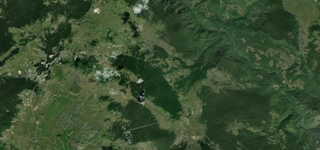
Andrijevica and Kolašin municipalities, eastern Montenegro · Montenegro
Trešnjevik Pass
R-19Andrijevica to Mateševo
A narrow mountain pass through the Komovi massif connecting two remote Montenegrin valleys.
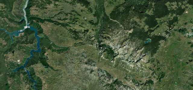
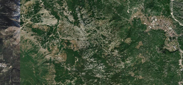
The M-9 climbs from the Lim valley town of Andrijevica up through dense forest and open alpine terrain to the Trešnjevik saddle, with panoramic views across the jagged three-peak silhouette of the Komovi range unfolding on the northern side. The road is fully paved but narrow throughout, with sustained gradients and tight hairpin switchbacks on both flanks. It sits on the boundary of Andrijevica and Kolašin municipalities in an uncommercialised corner of northeastern Montenegro, making it one of the quieter high-mountain drives in the country.
Scenery
Where it runs
Navigate to the start: Apple Maps · Google Maps
Character
Elevation
under 4%4–8%over 8%749 – 1,571 mHazards
- very narrow carriageway with no barriers on exposed sections
- steep sustained gradients up to 10%
- road closed in winter by heavy snowfall
- limited passing places requiring reversing on hairpins
See the typical season and live conditions for the high passes ›
Sources: Road geometry © OpenStreetMap contributors
Nearby roads
The closest great drives to Trešnjevik Pass.