Western Kosovo · Kosovo
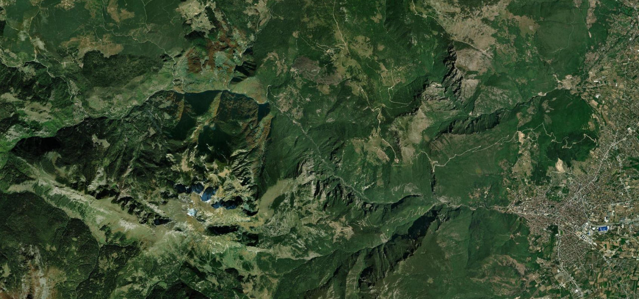
Rugova Gorge Road
M9Peja to Kuqishtë
Distance14.1 mi23 km
Drive time28 minon the road
DifficultyModeratetightness 5 of 10
A spectacular canyon drive through one of the Balkans' most dramatic gorges, where granite walls rise 600 m above the river and the road burrows through hand-cut tunnels beneath soaring peaks.
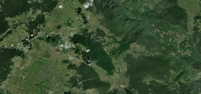
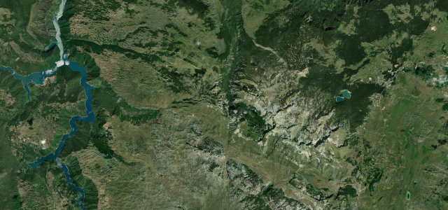
Leaving Peja’s western edge the road enters the mouth of Rugova Gorge where the walls close in sharply, past the ancient Arched Stone Bridge, alternating open cliff-edge sections with hand-carved single-lane tunnels. Beyond the gorge the valley broadens into alpine meadows toward Kuqishtë near the closed Montenegro border. Fully paved.
Scenery
GorgeMountainForest
Where it runs
PejaStart · Western Kosovo
KuqishtëEnd · Western Kosovo
Navigate to the start: Apple Maps · Google Maps
Character
Corners34bends
Tightness5of 10
Max gradient11%≈ 1-in-9
Hairpins3tight bends
Climb666 mtotal ascent
Summit1,163 mhighest point of the line · 3,816 ft
Elevation
under 4%4–8%over 8%515 – 1,163 mHazards
- narrow single-lane tunnels
- lumber trucks on a tight carriageway
- overhanging rock faces
- winter ice and snow
Sources: Road geometry © OpenStreetMap contributors
Nearby roads
The closest great drives to Rugova Gorge Road.
Rugova Gorge Road
Directions