Bar and Ulcinj municipalities, southern Montenegro · Montenegro
Skadar Lake Road
R-15Virpazar to Vladimir
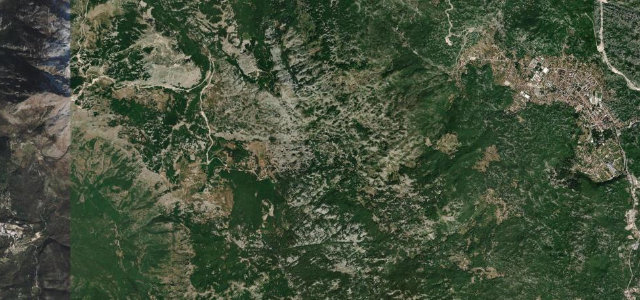
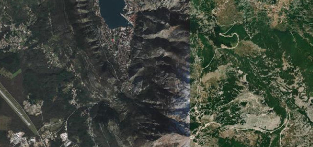
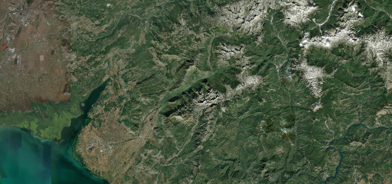
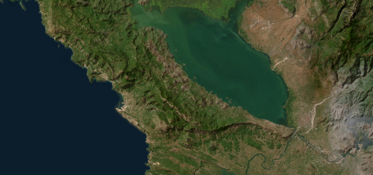
A serpentine lake-perimeter road winding along Skadar Lake’s southern shore near the Albanian border.
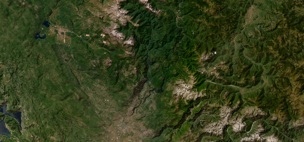
The R-15 traces the southern and eastern edge of Skadar Lake, the Balkans' largest lake, through the mountains of Bar and Ulcinj municipalities, passing old villages, family wineries, and elevated viewpoints across the water. The road is fully paved but narrow throughout, with frequent hairpin bends and sections where oncoming traffic requires one vehicle to pull aside. The combination of the expansive blue lake, karst hills, and near-Albanian-border remoteness gives it a character unlike any other road in the country.
Scenery
Best seasons
In these collections
In these Grand Tours
In these guides
Skadar Lake Road on the map31.1 mi · point to point
Navigate to the start: Apple Maps · Google Maps
Character
Corners
busiest around mile 5Elevation
under 4%4–8%over 8%19.7 – 494.7 mPoints of interest3 stops
- StegvašiViewpoint24 mi in
- LivariViewpoint13 mi in
- Bunar kneza VladimiraLandmark21 mi in
Hazards
- Narrow single-track sections requiring passing manoeuvres
- Steep drops without barriers on lake side
- Blind hairpin bends
- No fuel between Virpazar and Vladimir
Sources
“The road is a delight to drive, with every kind of twist and turn. This road offers a drive that is as challenging as it is scenic.”
Verified route: mapped from real road geometry and fact-checked by a human editor. How roads get checked
Driving the Skadar Lake Road: quick answers
How long does it take to drive the Skadar Lake Road?
How difficult is the Skadar Lake Road to drive?
When is the best time to drive the Skadar Lake Road?
Nearby roads
The closest great drives to Skadar Lake Road.