Collection

Great Lakeside Drives

The world’s finest roads along a lake’s shore

Roads141 world icon
Combined348 mi560 km of driving
Across6countries
High point2,084 m6,837 ft

The roads
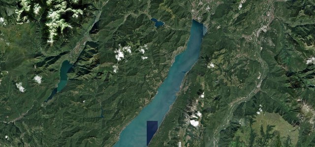
Satellite map of Gardesana Occidentale, Italy

Gardesana Occidentale

SS45bisItaly

17 mi · 37 min · 40 corners

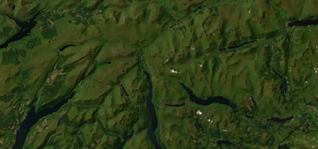
Satellite map of Loch Lomond, Scotland

Loch Lomond

A82Scotland

17 mi · 35 min · 30 corners

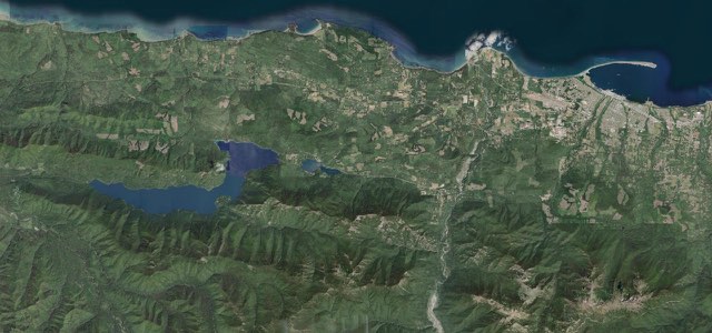
Satellite map of Olympic 101 Lake Crescent, The West

Olympic 101 Lake Crescent

US 101The West

27 mi · 51 min · 40 corners

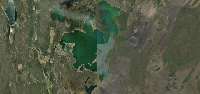
Satellite map of Lake Mývatn Loop, Iceland

Lake Mývatn Loop

848Iceland

9 mi · 15 min · 25 corners

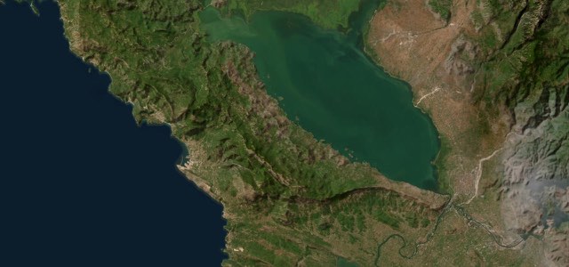
Satellite map of Skadar Lake Road, Montenegro

Skadar Lake Road

R-15Montenegro

31 mi · 1 h 5 min · 101 corners

Satellite map of Pass of Brander, Scotland

Pass of Brander

A85Scotland

9 mi · 17 min · 30 corners

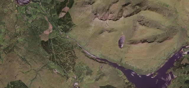
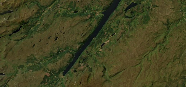
Satellite map of Loch Ness South Military Road, Scotland

Loch Ness South Military Road

B862B852Scotland

22 mi · 46 min · 60 corners

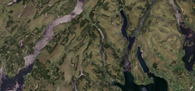
Satellite map of Loch Eck, Scotland

Loch Eck

A815Scotland

14 mi · 28 min · 28 corners

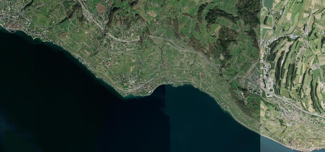
Satellite map of Corniche de Lavaux, Switzerland

Corniche de Lavaux

Switzerland

5 mi · 10 min · 577 m summit

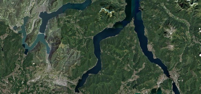
Satellite map of Strada Regina (Lake Como), Italy

Strada Regina (Lake Como)

SS340Italy

17 mi · 34 min · 60 corners

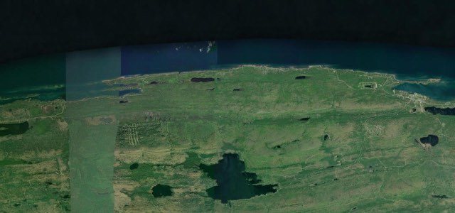
Satellite map of Brockway Mountain Drive, The East

Brockway Mountain Drive

The East

9 mi · 18 min · 17 corners

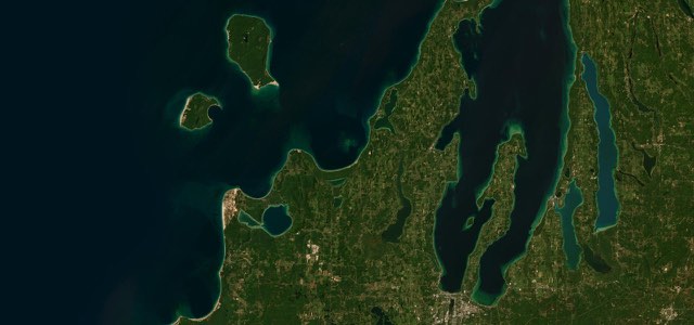
Satellite map of Leelanau Peninsula, The East

Leelanau Peninsula

M-22The East

64 mi · 2 h 8 min · 71 corners

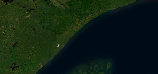
Satellite map of North Shore Scenic Drive, The East

North Shore Scenic Drive

MN 61The East

80 mi · 2 h 27 min · 21 corners

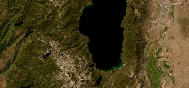
Satellite map of Emerald Bay and the West Shore, The West

Emerald Bay and the West Shore

CA 89The West

27 mi · 53 min · 2,084 m summit

More collections

All 80 collections ›