Michigan · United States
Brockway Mountain Drive
Eagle Harbor to Copper Harbor
A ridge road above the Keweenaw coast, built as a Great Depression work project, that climbs to 1,320 feet for views over Lake Superior and Copper Harbor and is closed to cars in winter.
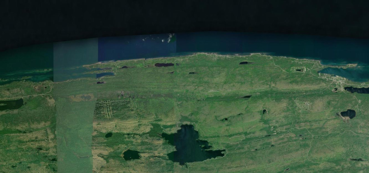
From M-26 near Eagle Harbor, where the western end lies by Lake Bailey and Agate Harbor, the road climbs onto the ridgeline of the Keweenaw Fault and follows it east. About 2.5 miles in there is a parking area for the Oren Krumm Trail, and low stone walls from the original 1930s construction line the road. The summit parking area comes at about 4.9 miles, 1,320 feet above sea level and 720 feet above Lake Superior, and on a clear day Isle Royale shows about 50 miles away. East of the summit the road twists down over a run of smaller hills with several pull-offs, then makes two sharp hairpins near the end, the first with a lookout and parking area over Copper Harbor. It ends at M-26 on the western edge of Copper Harbor. The surface is paved but rough, with potholes, minimal shoulder space and blind corners in spots.
Brockway Mountain Drive on the map8.9 mi · point to point
Navigate to the start: Apple Maps · Google Maps
Character
Corners
busiest around mile 8Elevation
under 4%4 to 8%over 8%200 to 407 mPoints of interest4 stops
- Brockway Mountain summitParking area at the top, 1,320 feet above sea level, looking over Lake Superior and, on a clear day, to Isle Royale.4.8 mi in
- Brockway Mountain LookoutOverlook and parking at the first of the two hairpins, looking over Copper Harbor.8.3 mi in
- John J. Helstrom Nature SanctuaryNature sanctuary beside the road near the middle of the drive, with hiking trails.6.0 mi in
- Hunter’s Point ParkAt the Copper Harbor end, a place to leave the car and walk up the mountain.8.9 mi in
Hazards
- Closed to cars in winter, with the opening date set by snow and spring clean-up
- Rough surface with potholes and minimal shoulders
- Blind corners and two sharp hairpins near Copper Harbor
- Steep descent toward Copper Harbor
- Strong, cold wind at the summit
See the typical season and live conditions for the high passes ›
Sources
“The roadway twists and turns as it alternately climbs and descends several smaller hills along the ridgeline. Along the drive, several viewpoints provide the opportunity to pull off and take in the surroundings.”
“Brockway Mountain Drive is the highest drive above sea-level between the Rockies and the Alleghenies. The nine-mile stretch snakes up Brockway Mountain”
“the Copper Country Trail National Byway Committee and state tourism agencies heavily promote the drive as a premier scenic spur of the regional byway system”
Route traced from OpenStreetMap, with its stats measured from that line. How the roads are mapped
Driving the Brockway Mountain Drive: quick answers
How long does it take to drive the Brockway Mountain Drive?
How difficult is the Brockway Mountain Drive to drive?
When is the best time to drive the Brockway Mountain Drive?
Nearby roads
The closest great drives to Brockway Mountain Drive.