Ohio · United States
The Triple Nickel
SR 555Zanesville to Little Hocking
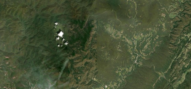
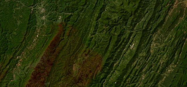
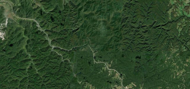
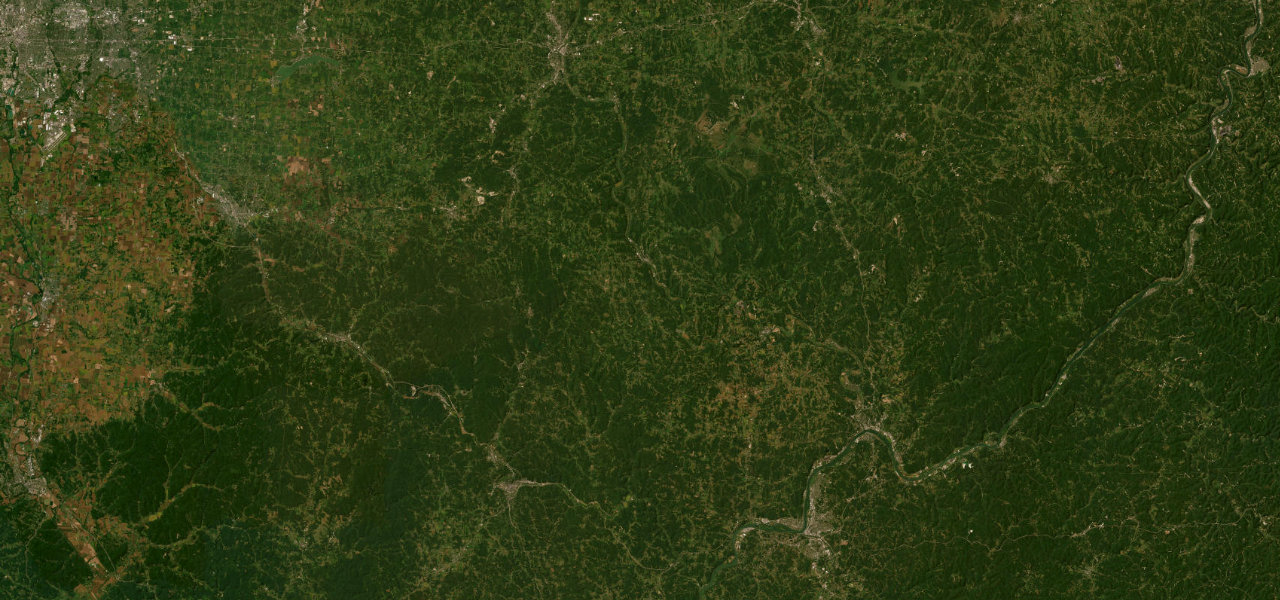
First on Car and Driver’s 2020 list of America’s twelve best driving roads, SR 555 rolls 62 miles through the farmland and forest of southeast Ohio, mixing fast sweepers with blind crests and tight, low-speed corners.
From SR 60 just south of Zanesville, SR 555 heads south through Brush Creek and past Cannelville, Deavertown and Portersville, where it runs briefly with SR 37. First designated in 1937 on a gravel road built for farm traffic, it still rides the crests of rolling hills through isolated farms and parts of the Wayne National Forest, mixing high-speed sweepers, tight low-speed corners and blind brows. After a short overlap with SR 78 at Ringgold comes the stretch local riders single out as the most tangled, south to Chesterhill, where SR 377 joins for a few blocks. Beyond Bartlett it runs on through Cutler, Decaturville and Fillmore, passing close to the 1878 Root Covered Bridge, and ends without so much as a sign at US 50 in Little Hocking. Fuel is scarce along the way, so fill up in Zanesville, and expect gravel, patched surfaces and the occasional Amish buggy.
Scenery
Best seasons
Featured in
In these collections
The Triple Nickel on the map62.1 mi · point to point
Navigate to the start: Apple Maps · Google Maps
Character
Corners
busiest around mile 27Elevation
under 4%4 to 8%over 8%185 to 342 mPoints of interest4 stops
- Adams Covered BridgeAn 1875 multiple kingpost truss bridge over San Toy Creek, now closed to traffic, about 1 km off the road.23 mi in
- RinggoldWhere SR 78 joins briefly, at the start of the run to Chesterhill that local riders call the most twisted.28 mi in
- ChesterhillThe village midway down the road where SR 377 shares the route for a few blocks.40 mi in
- Root Covered BridgeAn 1878 Long truss bridge over the West Branch of the Little Hocking River, on the National Register since 1975.55 mi in
Hazards
- Blind crests and blind corners
- Loose gravel and patched surfaces
- Occasional Amish buggies
- Fog in the valleys early in the morning
- Few fuel stops, fill up in Zanesville
Sources
“First on their list: Ohio State Route 555, also known as the Triple Nickel.”
“Lots of very challenging twisties. Roads line the crests of rolling hills ... an amusement park for sport and sport touring bikes.”
“The very best in driving roads that Ohio has to offer. Lots of elevation change, cambered turns, and open sweepers.”
Route traced from OpenStreetMap, with its stats measured from that line. How the roads are mapped
Driving the Triple Nickel: quick answers
How long does it take to drive the Triple Nickel?
How difficult is the Triple Nickel to drive?
When is the best time to drive the Triple Nickel?
Nearby roads
The closest great drives to The Triple Nickel.