Virginia · United States
Hayters Gap to Breaks Interstate Park
VA 80Meadowview to Breaks
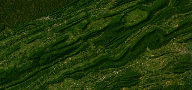
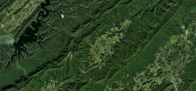
VA 80 runs 65 miles from Meadowview over Clinch Mountain at Hayters Gap and up Big A Mountain on hairpin curves, through Honaker and Haysi to Breaks Interstate Park, a narrow and tightly twisting country road.
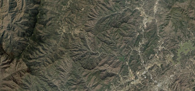
VA 80 starts at the I-81 interchange at Meadowview and follows Logan Creek and Wolf Creek up to Hayters Gap Road, which climbs Clinch Mountain and crosses it at Hayters Gap. Riders report tons of turns from I-81 all the way to US 19, with very tight turns in places and a somewhat narrow road, and a rider’s route note describes a single-lane middle section on Hayters Gap. North of the gap the road runs across country to US 19, shares it to Rosedale and passes through Honaker before climbing Big A Mountain over the Tennessee Valley Divide on a series of hairpin curves. It then follows the Russell Fork down past Council and Davenport to Haysi and on to Breaks, where it runs through the entrance of Breaks Interstate Park. Lovers Leap and Mill Rock overlooks sit beside the road above Breaks Canyon, which is five miles long and 830 to 1,600 feet deep, and the park has been called the Grand Canyon of the South.
Hayters Gap to Breaks Interstate Park on the map64.9 mi · point to point
Navigate to the start: Apple Maps · Google Maps
Character
Corners
busiest around mile 13Elevation
under 4%4 to 8%over 8%383 to 919 mPoints of interest5 stops
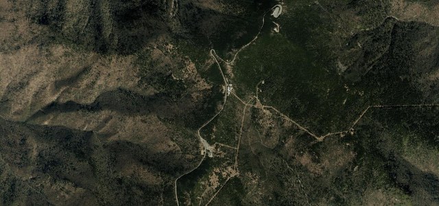
- Hayters GapSaddle where VA 80 crosses Clinch Mountain between Russell and Washington Counties.15 mi in
- HonakerSmall town at the foot of Big A Mountain with cafes such as Honey Bea’s Cafe and Ice Cream, listed in Appalachian Backroads’ route guide.29 mi in
- Ledgend CoffeeCoffee shop on Main Street in Haysi, listed in Appalachian Backroads’ route guide.55 mi in
- Lovers Leap OverlookOverlook beside the road in Breaks Interstate Park.63 mi in
- Mill Rock OverlookSecond overlook beside the road in Breaks Interstate Park, above Breaks Canyon.63 mi in
Hazards
- Single-lane middle section and steep drops on Hayters Gap
- Very tight turns and a narrow road, not for beginners or big touring rigs
- Oncoming cars often travel fast
- Rough and smooth sections of old country road
- Hairpin curves over Big A Mountain
Sources
“Riders explored some of the region’s most iconic routes, including the famed "Back of the Dragon," VA Hwy 80 through Hayters Gap, and the switchback-rich roads of Big Ridge and Duncan Branch.”
“Virginia Route 80 is a designated Virginia Scenic Byway so allow time to stop and take in all the beauty only found in our neck of the woods.”
“Endless twists, turns, hills some flat and straight for resting. The roads are old country roads that include both rough and smooth sections.”
Route traced from OpenStreetMap, with its stats measured from that line. How the roads are mapped
Driving the Hayters Gap to Breaks Interstate Park: quick answers
How long does it take to drive the Hayters Gap to Breaks Interstate Park?
How difficult is the Hayters Gap to Breaks Interstate Park to drive?
When is the best time to drive the Hayters Gap to Breaks Interstate Park?
Nearby roads
The closest great drives to Hayters Gap to Breaks Interstate Park.