North Carolina · United States
Devil's Whip
NC 80Pleasant Gardens (US 70) to Blue Ridge Parkway (Mount Mitchell)
A relentless 160-curve climb on NC 80, 17 miles from US 70 up to the Blue Ridge Parkway below Mount Mitchell.
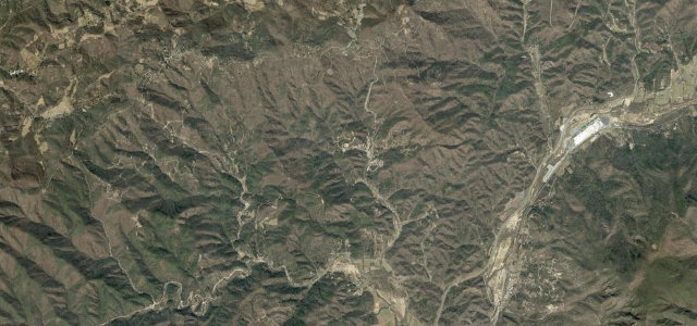
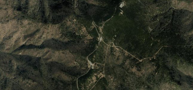
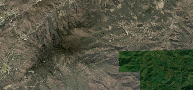
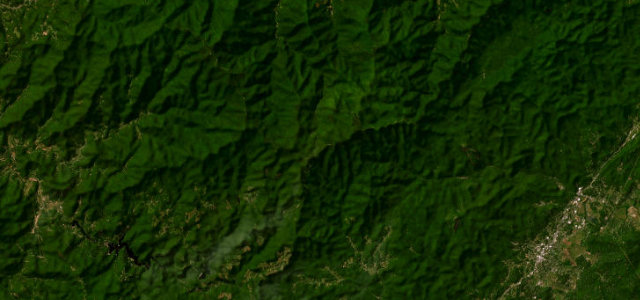
Known locally as the Devil’s Whip, this stretch of NC 80 packs around 160 curves and switchbacks into seventeen miles, gaining roughly 2,000 ft from the US 70 junction near Pleasant Gardens to where it slips under the Blue Ridge Parkway near milepost 344. It is a favourite of motorcyclists and sports-car drivers for its tight, technical, near-constant cornering with views toward Mount Mitchell. There are no intersecting driveways to speak of on the best stretches, but the surface is narrow with little run-off. At least one curve north of the Mount Mitchell golf course has a grim reputation for crashes. Mind off-camber blind switchbacks with no guardrail, gravel and leaf litter washed onto the road, and oncoming bikes crossing the centre line.
Where it runs17.6 mi · point to point
Navigate to the start: Apple Maps · Google Maps
Character
Corners
busiest around mile 11Elevation
under 4%4–8%over 8%385.4 – 1,022 mFrom the road
Points of interest1 stop
- Buck Creek GapViewpoint12 mi in
Hazards
- Off-camber blind switchbacks with no guardrail
- Gravel and leaf litter on the road
- Oncoming motorcycles crossing the centre line
Sources
“Climbing more than 2,500 feet in elevation, the Devil's Whip presents riders with a full platter of delightful curves and switchbacks.”
Verified route: mapped from real road geometry and fact-checked by a human editor. How roads get checked
Driving the Devil's Whip: quick answers
How long does it take to drive the Devil's Whip?
How difficult is the Devil's Whip to drive?
When is the best time to drive the Devil's Whip?
Nearby roads
The closest great drives to Devil's Whip.