Tennessee · United States
Newfound Gap Road
US 441Gatlinburg to Cherokee
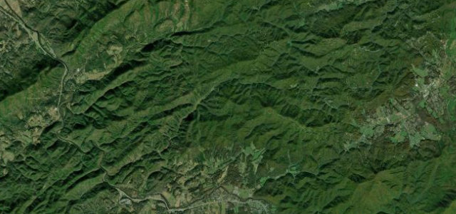
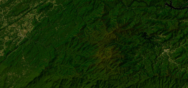
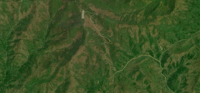
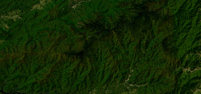
US 441 climbs through dense forest to Newfound Gap, where Tennessee hands over to North Carolina on a misty ridgeline in the heart of the Smokies. Thirty-three miles from Gatlinburg to Cherokee, with the fog at the gap thrown in.
US 441 climbs over Newfound Gap through the heart of Great Smoky Mountains National Park between Gatlinburg, Tennessee and Cherokee, North Carolina, winding up through dense forest to the misty ridgeline on the state line. Mind the fog at the gap, the heavy national-park traffic, and ice and closures in winter.
Where it runs32.8 mi · point to point
Navigate to the start: Apple Maps · Google Maps
Character
Corners
busiest around mile 8Elevation
under 4%4–8%over 8%425 – 1,540.5 mFrom the road
Points of interest3 stops
- Ben Morton OverlookViewpoint13 mi in
- Deep Creek Valley Overlook #1Viewpoint16 mi in
- Charles A Webb OverlookViewpoint17 mi in
Hazards
- Fog at the gap
- Heavy national-park traffic
- Ice and winter closures
See the typical season and live conditions for the high passes ›
Sources
“At its highest point, Newfound Gap Road reaches an elevation of 5,046 feet (1,538 meters) at Newfound Gap, making it one of the most spectacular drives in the eastern United States.”
Verified route: mapped from real road geometry and fact-checked by a human editor. How roads get checked
Driving the Newfound Gap Road: quick answers
How long does it take to drive the Newfound Gap Road?
How difficult is the Newfound Gap Road to drive?
When is the best time to drive the Newfound Gap Road?
Nearby roads
The closest great drives to Newfound Gap Road.