Tennessee · United States
Cherohala Skyway
NC 143TN 165Tellico Plains to Robbinsville
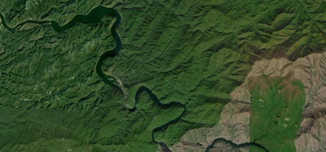
Fifty miles over the Unicoi Mountains from Tellico Plains, Tennessee to Robbinsville, North Carolina, topping out around 1,600 m. The quiet alternative to the nearby Dragon, and better for it.
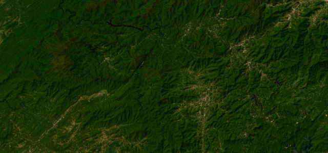
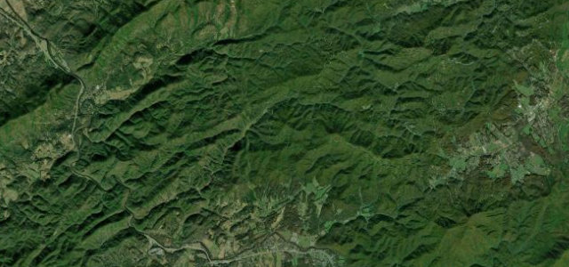
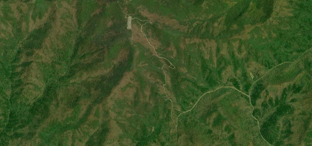
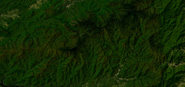
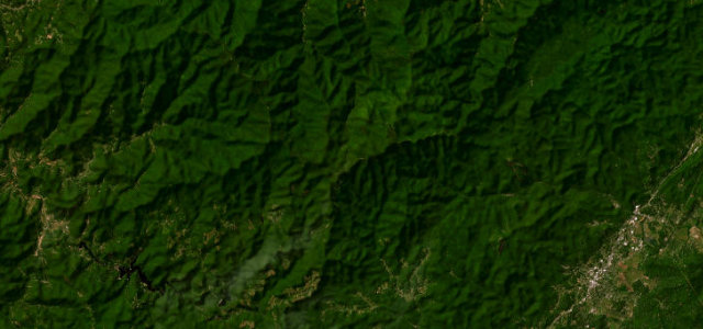
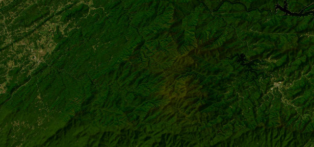
The Cherohala Skyway climbs to around 1,600 m across the Unicoi Mountains between Tellico Plains, Tennessee and Robbinsville, North Carolina, a quieter, sweeping alternative to the nearby Dragon, with wide mountain views the whole way. Flowing and scenic; mind the fog at altitude, the wildlife, and ice in the colder months.
Where it runs50.9 mi · point to point
Navigate to the start: Apple Maps · Google Maps
Character
Corners
busiest around mile 45Elevation
under 4%4–8%over 8%260.7 – 1,642.8 mFrom the road
Points of interest3 stops
- Stratton RidgeViewpoint25 mi in
- Hooper Point OverlookViewpoint31 mi in
- Shute Cove OverlookViewpoint38 mi in
Hazards
- Fog at altitude
- Wildlife on the road
- Ice in the colder months
Sources
“With long and sweeping corners, it's a favorite for motorcycle and sports car drivers.”
Verified route: mapped from real road geometry and fact-checked by a human editor. How roads get checked
Driving the Cherohala Skyway: quick answers
How long does it take to drive the Cherohala Skyway?
How difficult is the Cherohala Skyway to drive?
When is the best time to drive the Cherohala Skyway?
Nearby roads
The closest great drives to Cherohala Skyway.