North Carolina · United States
Moonshiner 28
NC 28Deals Gap to Highlands
Old moonshine-running route of sweepers and twisties from Deals Gap toward Highlands.
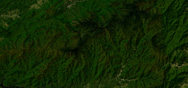
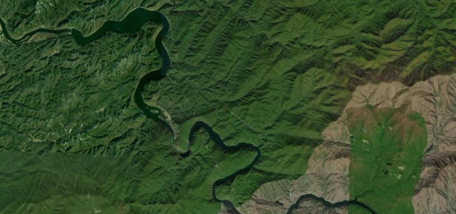
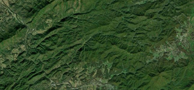
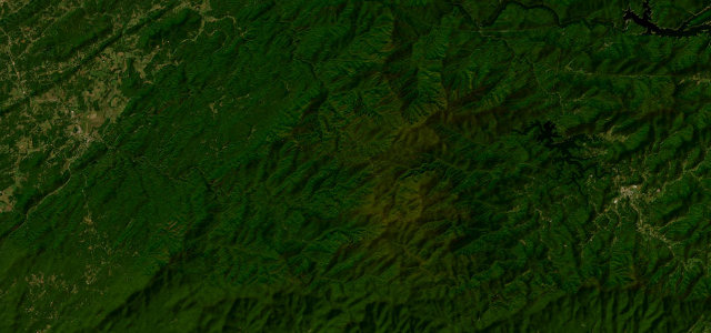
NC 28, known to riders as Moonshiner 28, runs from the Deals Gap and Fontana area southeast through the Nantahala country toward Franklin and Highlands. It mixes fast sweepers along the river and lakes with tighter wooded sections and waterfalls appearing around the bends, on a road that once served literal moonshine runners. It is a long, flowing drive rather than a single tight pass. Mind the slow log and RV traffic in the gorge, deer on the forested stretches, and damp shaded pavement under the tree canopy.
Scenery
Best seasons
In these collections
In these guides
Where it runs73.3 mi · point to point
Navigate to the start: Apple Maps · Google Maps
Character
Corners
busiest around mile 40Elevation
under 4%4–8%over 8%391.2 – 1,170.9 mFrom the road
Points of interest3 stops
- Dry Falls Viewing PlatformViewpoint70 mi in
- Sequoyah FallsLandmark71 mi in
- Bridal Veil FallsLandmark71 mi in
Hazards
- Slow log and RV traffic
- Deer in forested sections
- Damp shaded pavement
Sources
“Moonshiner 28 from Fontana to Franklin is not a make-time route; it is a rider's enjoy-the-feeling route.”
Verified route: mapped from real road geometry and fact-checked by a human editor. How roads get checked
Driving the Moonshiner 28: quick answers
How long does it take to drive the Moonshiner 28?
How difficult is the Moonshiner 28 to drive?
When is the best time to drive the Moonshiner 28?
Nearby roads
The closest great drives to Moonshiner 28.