Guide
The best driving roads in America
American roads do scale like nowhere else: a coast road that runs for a hundred miles, a mountain pass that takes all morning, a desert highway with the horizon for company. These are the finest drives in the United States from our catalogue, ranked with the icons first, every one mapped from its real geometry and fact-checked.
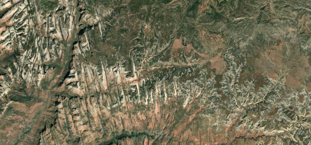 Zion–Mount Carmel Highway20 mi · 42 min · 1,865.3 m summitView the roadbook ›
Why it makes the list
-
1
20 mi42 min
Zion–Mount Carmel Highway
The great red-rock reveal. UT 9 switchbacks up the wall of Zion Canyon to the mile-long Zion-Mount Carmel Tunnel, bored through the sandstone in the 1920s with gallery windows that flash the valley as you pass, then releases you into a surreal country of pale slickrock domes on the way east. It is slow, theatrical driving rather than a technical test: the tunnel meters oversized vehicles through under traffic control, the park traffic is what it is, and bighorn sheep hold the right of way. Go at first light when the canyon walls burn and the queue has not formed. As openings to a national park go, nothing else in America comes close.
-
2
 57 mi1 h 53 min
Angeles Crest Highway
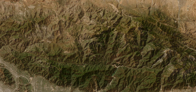
Los Angeles’s mountain escape. CA 2 leaves La Cañada Flintridge and climbs into the San Gabriels, then just keeps going: mile after mile of near-empty, uninterrupted curves strung along the ridgelines of the Angeles National Forest toward Wrightwood, a full mountain range suspended above the basin’s ten million people. It is the city’s favourite driver’s road and its riders' church, so watch for bikes and cyclists on the blind stuff, rockfall after weather, and the sections that close under snow in winter. Go on a weekday morning, top down if you have one, and be back in Pasadena for lunch wondering whether that really just happened.
-
3
 6 mi13 min
Mount Washington Auto Road
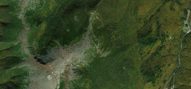
A private toll road to the worst weather in America, and one of its great drives. The Auto Road climbs about 4,600 ft to the 6,288 ft summit of Mount Washington at an average grade near 12 per cent, the final pitch reported around 22, on a narrow ribbon with sheer unguarded edges and the Presidential Range falling away on every side. The summit claims some of the most violent weather on the continent, and the mountain’s moods change by the minute, which is half the point. Take the lowest gear you have on the way down, use the brake-cooling pull-offs, and earn the bumper sticker honestly. Short, stern and unforgettable.
-
4
 43 mi1 h 29 min
Road to Hana
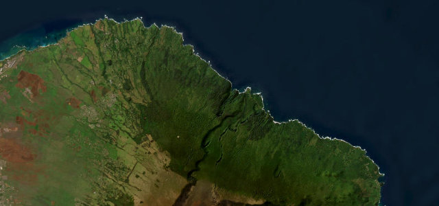
Drive it without a clock. The Hana Highway threads Maui’s rainforest coast for 42 miles through some 620 curves and dozens of one-lane bridges, past waterfalls that fall to the road’s edge, bamboo forest, and black-sand beaches, to the little village of Hana at the end. The bridges meter traffic to a courteous crawl, the sightseers stop wherever the view demands, and rain can drop rock onto the carriageway, none of which matters if you have surrendered the schedule. Start early, yield generously, spend the day. It is the slowest great road in America and would be ruined by being faster.
-
5
 58 mi1 h 57 min
Tioga Pass
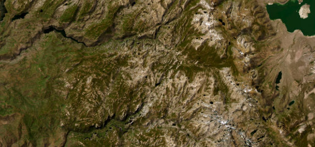
The hardest-earned way into Yosemite, and the best. CA 120 climbs from Crane Flat through the park’s high country, past the granite domes and the blue shock of Tenaya Lake, to Tioga Pass near 10,000 ft, the highest highway crossing in the Sierra, before the long fall to Lee Vining and the sagebrush of the eastern side. Snow keeps it shut most of the year; the summer window is short, high and luminous. Mind the altitude, the wildlife, and the brakes on the eastern descent, and stop at the Tenaya Lake overlook even though everyone stops at the Tenaya Lake overlook. Some queues are correct.
-
6
 8 mi16 min
Blue Ridge Parkway Linn Cove
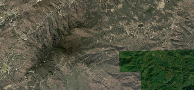
Few roads feel this weightless. The parkway’s Linn Cove Viaduct curls out into open air around the flank of Grandfather Mountain, an S-shaped bridge that seems to float over the boulder field below, with the Blue Ridge folding away in layer after smoky layer. It was the last piece of the 469-mile parkway completed, in 1987, and it remains the most photographed. The 45 mph parkway limit is the whole spirit of the thing: unhurried, fog-prone, full of overlooks that deserve the stop. Come in October when the hardwoods turn, accept the leaf-season traffic as part of the liturgy, and let the road do the driving.
-
7
 23 mi47 min
Pacific Coast Highway, Big Sur
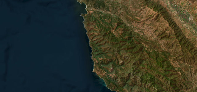
The benchmark coast road. Highway 1 through Big Sur rides the cliff edge from Carmel past the Bixby Bridge toward San Simeon, redwood canyons on one side, open Pacific far below on the other, every bend turning to blue water. It is smooth, it is spectacular, and it is never empty, so make peace with the rhythm: photographers stopping at the famous parapets, fog erasing the sea by afternoon, the occasional rockfall closure resetting everyone’s plans. Southbound puts you on the ocean side of the road, which is the correct side. Dawn out of Carmel, breakfast at Big Sur, and the rest of the day to do it again backwards.
-
8
 18 mi43 min
Pikes Peak Highway
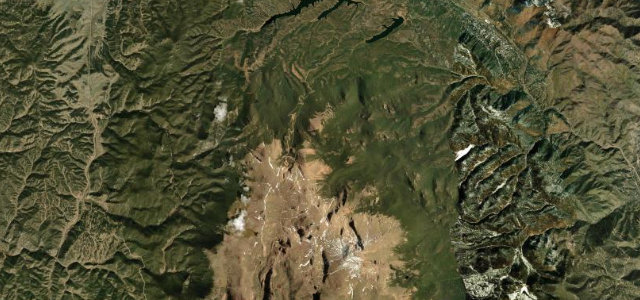
The hill climb you can buy a ticket to. The toll road to Pikes Peak’s 14,115 ft summit shares its alignment with the International Hill Climb course, and above the treeline it becomes the famous Ws, switchbacks stacked on bare granite in air that gets thinner with every gate number. At the top: a hundred miles of plains, a doughnut shop, and a view that explains a patriotic hymn. The mountain takes the descent as seriously as you should, with mandatory brake checks partway down; use the gears, not the pedal. Book the entry slot, watch the weather, and remember the racers do this with no guardrails either.
-
9
 47 mi1 h 34 min
Trail Ridge Road
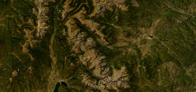
The highest continuous paved road in America, across the roof of Rocky Mountain National Park. US 34 climbs out of the pines above Estes Park onto open alpine tundra and stays there, cresting above 12,000 ft on a long, exposed run among the high peaks before dropping to Grand Lake. Elk graze the verges, storms build out of nowhere by afternoon, and the altitude works on flatlanders faster than they expect. Snow shuts it roughly mid-October to late May, which only sharpens the brief window. Go early in the day, carry a layer for the summit stops, and take the tundra walks; the road is the trailhead.
-
10
 23 mi50 min
Million Dollar Highway
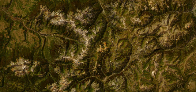
The famous stretch of US 550 between Ouray and Silverton, carved into the San Juans over Red Mountain Pass with nothing between the white line and a very long drop: no guardrails, by design and by legend. It keeps your hands busy and your breath short, hairpins on a narrow shelf with rockfall sections and ice well outside the calendar’s idea of winter. Drive it northbound into Ouray for the full amphitheatre arrival, give the mountain side to the trucks, and stop in Silverton to let your shoulders down. Whatever the million actually referred to, the road has repaid it many times over.
-
11
 64 mi2 h 14 min
Beartooth Highway
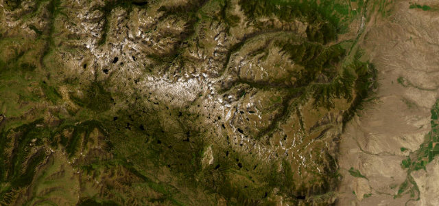
What a road should do on the way to Yellowstone. US 212 leaves Red Lodge and stacks its switchbacks in tight tiers up the wall of the Beartooths, then crests near 11,000 ft into a high, wild plateau of tundra, snowfields and glacial lakes that lasts for miles before the fall to the park gate at Cooke City. The season is short and the weather ignores it, with snow possible in August and the road closed by it most of the year. Climb it from Red Lodge for the full staircase, watch the altitude, and give yourself time on the top; the plateau, not the pass, is the point.
-
12
 115 mi2 h 35 min
Seward Highway
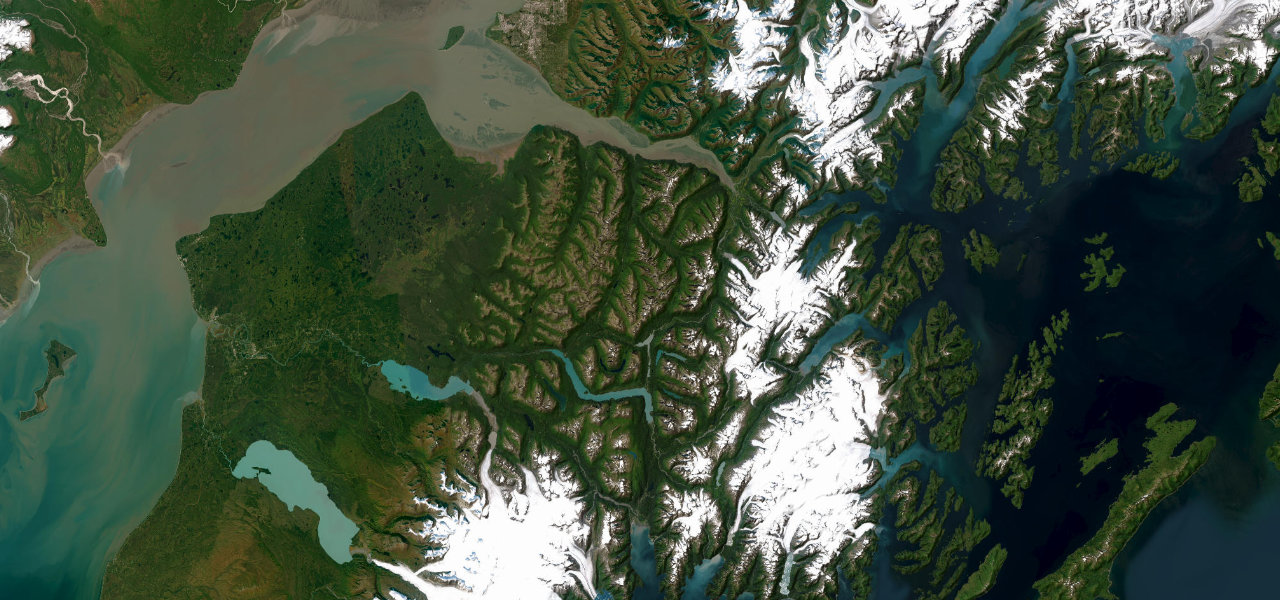
The great Alaskan drive, twenty minutes from an international airport. South out of Anchorage the highway is pinned between the Chugach cliffs and the grey tidal sweep of Turnagain Arm, bore tide racing the traffic, Dall sheep on the rocks at Windy Corner, belugas offshore when the salmon run. Over Turnagain Pass it threads the Kenai’s lakes to the fishing harbour at Seward. It is an All-American Road and also Alaska’s most notorious head-on corridor, with double fines on the Arm and moose owning the dusk, so drive it like the locals: patiently, headlights on, eyes everywhere. Fjord, forest and mountain in a single afternoon.
-
13
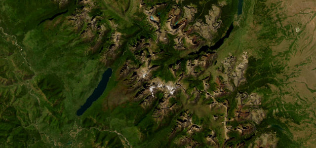 50 mi1 h 45 min
Going-to-the-Sun Road
A cliff-carved climb over the Continental Divide in Glacier National Park.
-
14
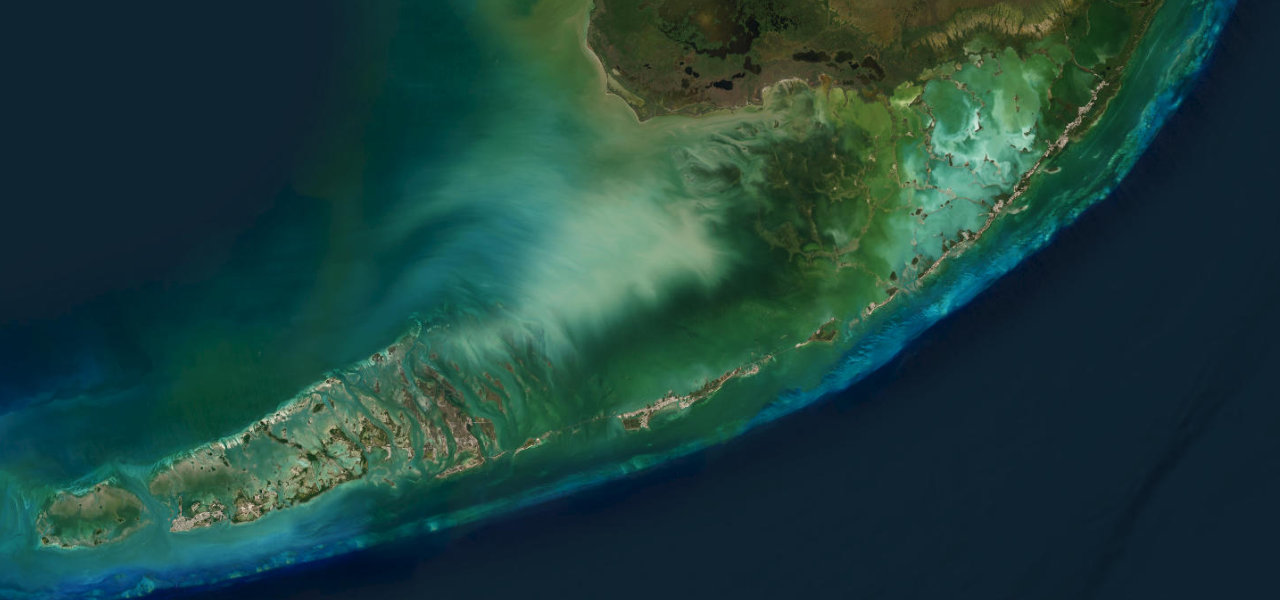 108 mi2 h 50 min
Overseas Highway
42 bridges and a hundred miles of open water to Key West.
-
15
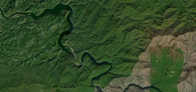 13 mi32 min
Tail of the Dragon
318 curves in 11 miles, America’s most famous driving road.
-
16
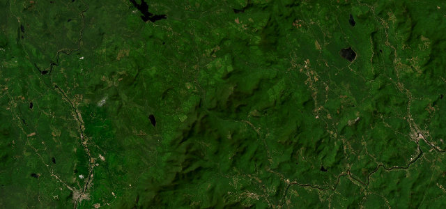 22 mi40 min
Grafton Notch
Quiet pass through Grafton Notch State Park past Screw Auger Falls.
-
17
 13 mi24 min
Lamoille Canyon Road
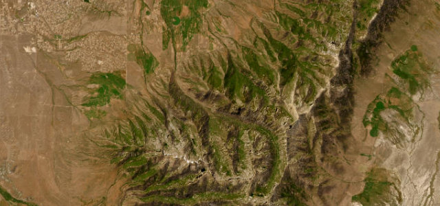
A twelve-mile dead-end climb into a glacier-carved gorge of the Ruby Mountains, Nevada’s answer to Yosemite Valley.
-
18
 16 mi31 min
Highland Scenic Highway
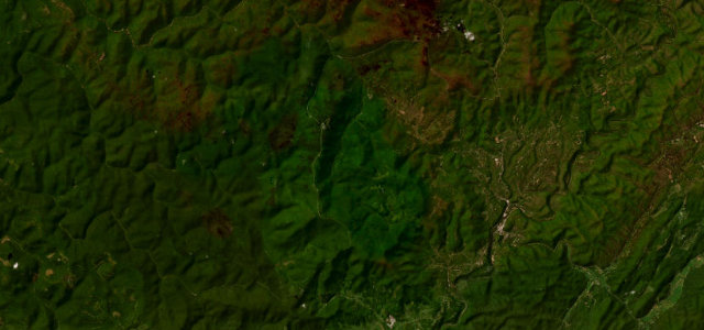
High Allegheny ridge parkway over 4,500 feet through the Monongahela forest.
-
19
 8 mi16 min
Mount Greylock (Rockwell Road)
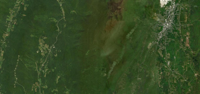
A nine-mile climb up Rockwell Road to the summit of Mount Greylock, the highest point in Massachusetts.
-
20
 22 mi43 min
Rangeley Lakes / Height of Land
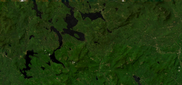
Western Maine climb to the Height of Land overlook above Mooselookmeguntic Lake.
-
21
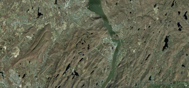 12 mi25 min
Storm King Highway
Cliff-edge ledge road carved into Storm King above the Hudson at West Point.
-
22
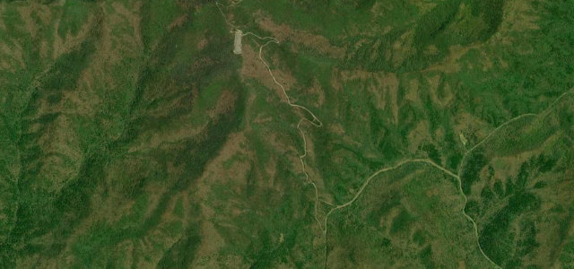 2 mi5 min
Brasstown Bald Spur
The short, steep paved spur from Jacks Gap to the summit parking of Brasstown Bald, the highest point in Georgia, climbing roughly 1,700 feet in under three miles.
-
23
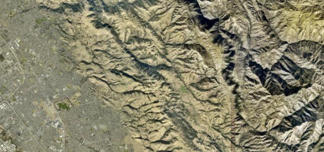 19 mi42 min
Mount Hamilton Road
Endless switchbacks from San Jose up to Lick Observatory on Mount Hamilton.
-
24
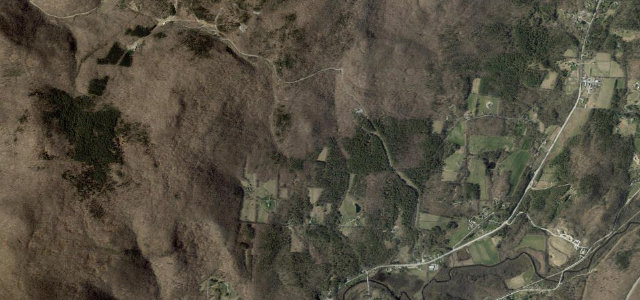 5 mi12 min
Mount Equinox Skyline Drive
The longest privately owned paved toll road in the US, climbing 5.2 miles of hairpins up Mount Equinox above Manchester, Vermont.
-
25
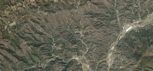 12 mi28 min
The Diamondback
Twelve miles of relentless switchbacks dropping off the ridge at Little Switzerland.
-
26
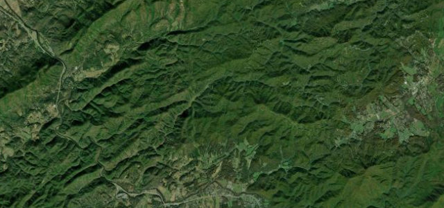 15 mi27 min
Foothills Parkway (Western Section)
Ridge-running National Park parkway with open views to the high Smokies.
-
27
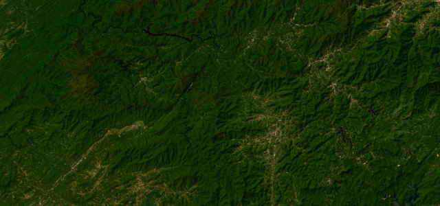 73 mi2 h 34 min
Moonshiner 28
Old moonshine-running route of sweepers and twisties from Deals Gap toward Highlands.
-
28
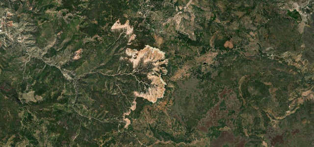 10 mi18 min
Cedar Breaks Scenic Byway
A short, high byway along the rim of a red-rock amphitheatre.
-
29
 12 mi25 min
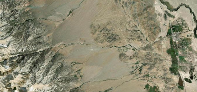
Whitney Portal Road
A short, dramatic switchback climb out of Lone Pine through the Alabama Hills to the foot of Mount Whitney, the highest peak in the lower 48.
-
30
 33 mi1 h 13 min
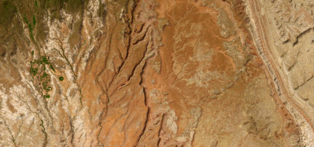
Burr Trail
Boulder red-rock backway through Long Canyon to the Burr switchbacks.
Common questions
Which road tops this guide?
How many roads are in this guide?
How is the ranking decided?
More guides
 Guide · 30 roads ranked
The highest roads in Europe
Europe’s highest tarmac lives above the treeline, where the air thins, the guardrails get optional and the season lasts four months.
Read the guide › Guide · 30 roads ranked
The steepest roads you can drive
Steepness changes a road completely: first gear, a hot clutch and a windscreen full of sky.
Read the guide › Guide · 30 roads ranked
Great driving roads you can drive in winter
Winter shuts the high passes, but it does not end the driving year.
Read the guide ›