Utah · United States
Zion–Mount Carmel Highway
UT 9SR 9Springdale to Mount Carmel Junction
Switchbacks and a famous tunnel through Zion’s red-rock canyons.
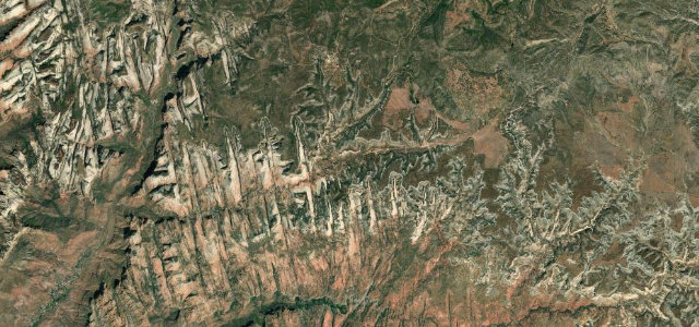
UT 9 climbs out of Zion Canyon on tight switchbacks to the mile-long Zion–Mount Carmel Tunnel, emerging into a surreal world of slickrock domes and red-rock canyons on the way east. Slow and scenic; mind the tunnel’s traffic control for larger vehicles, the heavy tourist traffic, and bighorn sheep on the road.
Switchbacks claw up the red canyon wall to a tunnel bored through the sandstone, its windows flashing the valley below. Then it’s pale slickrock all the way east.
Why we picked it
Scenery
Best seasons
In these collections
In these guides
Where it runs19.9 mi · point to point
Navigate to the start: Apple Maps · Google Maps
Character
Corners
busiest around mile 2Elevation
under 4%4–8%over 8%1,199.8 – 1,865.3 mFrom the road
Points of interest1 stop
- Checkerboard MesaViewpoint11 mi in
Hazards
- Tunnel traffic control and low clearance
- Heavy tourist traffic
- Bighorn sheep on the road
Sources
“an extra stunning way to cover a lot of amazing ground”
Verified route: mapped from real road geometry and fact-checked by a human editor. How roads get checked
Driving the Zion–Mount Carmel Highway: quick answers
How long does it take to drive the Zion–Mount Carmel Highway?
How difficult is the Zion–Mount Carmel Highway to drive?
When is the best time to drive the Zion–Mount Carmel Highway?
Nearby roads
The closest great drives to Zion–Mount Carmel Highway.