Nevada · United States
Red Rock Canyon Scenic Drive
Red Rock Canyon Visitor Center to SR 159 exit
A 13-mile one-way paved road through Red Rock Canyon National Conservation Area, passing the Calico Hills, Ice Box Canyon and Pine Creek, with an entrance fee and a timed-entry reservation from October to May.
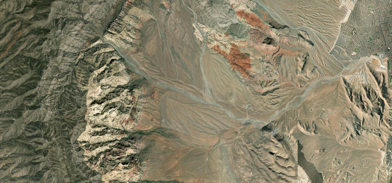
The Scenic Drive begins at the Red Rock Canyon Visitor Center, five miles east of the conservation area boundary on SR 159, and is one way only, so there is no turning round once you are on it. It first climbs among the Calico Hills, with overlooks at Calico I and Calico II and the Sandstone Quarry parking for the short hike to Calico Tanks. At the north end the road swings west and then south, passing the side road to Willow Springs, where there are pictographs, the Ice Box Canyon parking and the Red Rock Wash Overlook. It then runs down past the Pine Creek trailhead to the Lower Red Rock parking area and the exit back onto SR 159. The Nevada Department of Transportation includes the scenic loop in its Red Rock Canyon Road scenic byway.
Scenery
Best seasons
In these collections
Red Rock Canyon Scenic Drive on the map12.3 mi · point to point
Navigate to the start: Apple Maps · Google Maps
Character
Corners
busiest around mile 5Elevation
under 4%4 to 8%over 8%1,118 to 1,458 mPoints of interest6 stops
- Calico IIOverlook on the climb through the Calico Hills.1.8 mi in
- Sandstone Quarry parkingStart of the short hike out to the Calico Tanks.2.7 mi in
- Willow SpringsA side road of about a mile leads to a picnic area and ancient rock art.7.2 mi in
- Ice Box Canyon parkingParking for Ice Box Canyon, a rock canyon known for its cooling effect.7.8 mi in
- Red Rock Wash OverlookRoadside overlook partway round the loop.8.9 mi in
- Pine Creek trailheadParking at Pine Creek Canyon on the southern leg of the loop.10 mi in
Hazards
- Timed-entry reservation needed from 1 October to 31 May, 8am to 5pm
- One-way loop with no turning round once inside
- Entrance fee
- Cyclists, runners and hikers share the road
- Gravel and debris kicked onto the road by cars leaving pull-offs
- Gates close temporarily when the car parks are full
See the typical season and live conditions for the high passes ›
Sources
“The Scenic Drive, a 13 mile-one-way paved road, provides access to explore the many special canyons and sandstone hills in the heart of the Conservation Area.”
“(NDOT includes the scenic loop as part of Red Rock Canyon Road.)”
“Located about 20 miles outside of Vegas, this route shows you some killer scenery and fairly good motorcycle roads.”
Route traced from OpenStreetMap, with its stats measured from that line. How the roads are mapped
Driving the Red Rock Canyon Scenic Drive: quick answers
How long does it take to drive the Red Rock Canyon Scenic Drive?
How difficult is the Red Rock Canyon Scenic Drive to drive?
When is the best time to drive the Red Rock Canyon Scenic Drive?
Nearby roads
The closest great drives to Red Rock Canyon Scenic Drive.