Collection

Desert Roads

Drives across the world’s great deserts and salt flats

Roads326 world icons
Combined1,700 mi2,736 km of driving
Across14countries
High point5,360 m17,585 ft

The roads
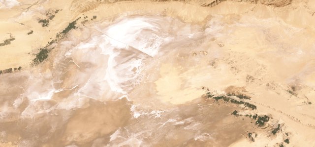
Satellite map of Chott el Djerid Causeway, Tunisia

Chott el Djerid Causeway

P16Tunisia

58 mi · 1 h 46 min · 10 corners

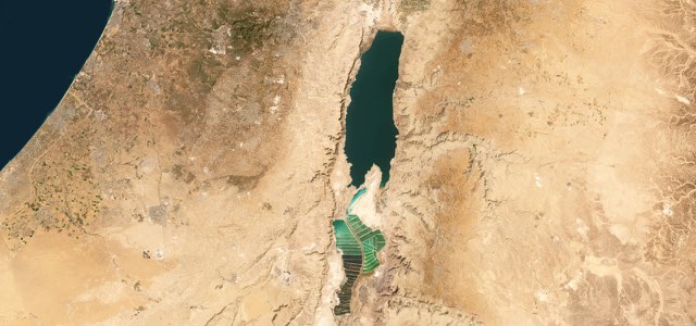
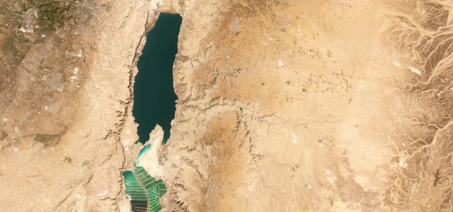
Satellite map of Dead Sea Highway, Israel

Dead Sea Highway

Route 90Israel

54 mi · 1 h 38 min · 5 corners

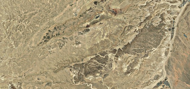
Satellite map of Ma'ale HaAtzmaut, Israel

Ma’ale HaAtzmaut

Route 40Israel

25 mi · 50 min · 841 m summit

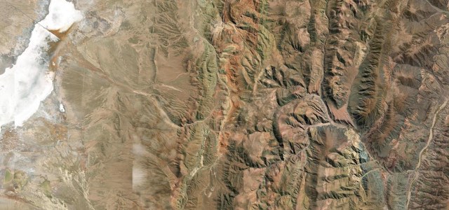
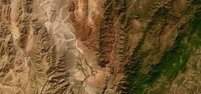
Satellite map of Cuesta de Lipán, Argentina

Cuesta de Lipán

RN 52Argentina

41 mi · 1 h 22 min · 17 hairpins

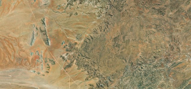
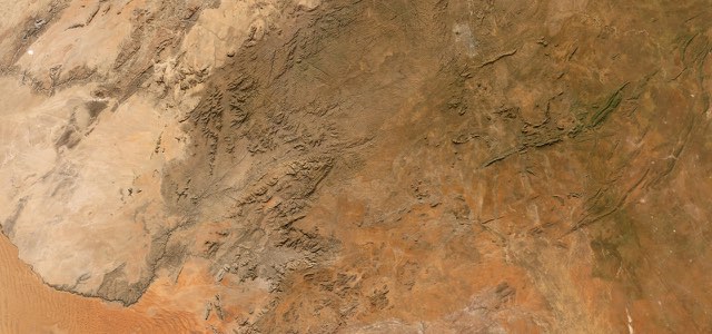
Satellite map of Spreetshoogte Pass, Namibia

Spreetshoogte Pass

D1275Namibia

38 mi · 1 h 19 min · 1,822 m summit

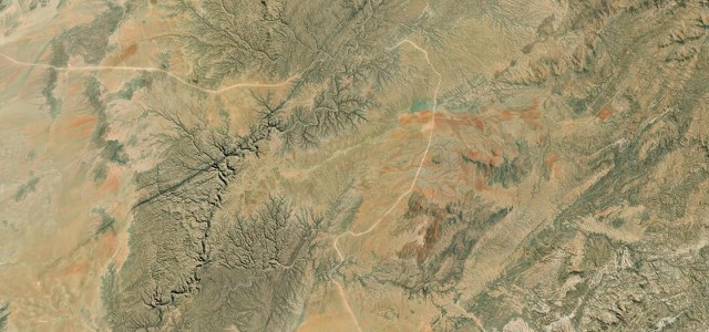
Satellite map of Gamsberg Pass, Namibia

Gamsberg Pass

C26Namibia

123 mi · 4 h 6 min · 2,066 m summit

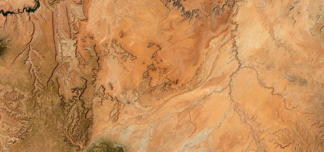
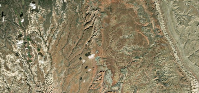
Satellite map of Monument Valley, The West

Monument Valley

US 163The West

45 mi · 1 h 22 min · 1,746 m summit

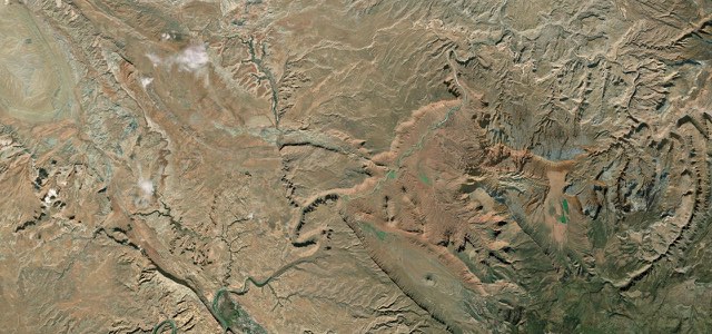
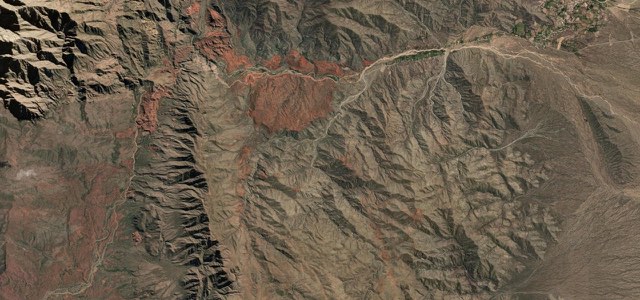
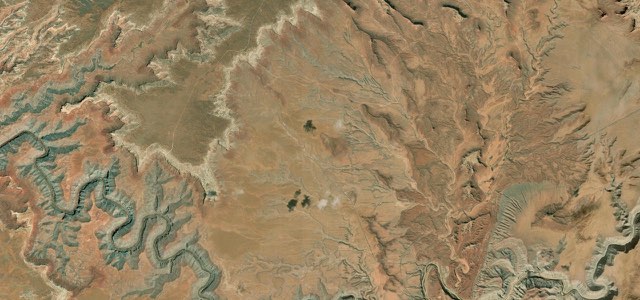
Satellite map of Upper Colorado River Scenic Byway, The West

Upper Colorado River Scenic Byway

UT 128The West

30 mi · 1 h · 1,316 m summit

Satellite map of Kuiseb Pass, Namibia

Kuiseb Pass

C14Namibia

29 mi · 1 h 1 min · 1,006 m summit

Satellite map of Quebrada de las Conchas, Argentina

Quebrada de las Conchas

RN 68Argentina

50 mi · 1 h 32 min · 1,632 m summit

Satellite map of Cuesta de Miranda, Argentina

Cuesta de Miranda

RN 40Argentina

19 mi · 38 min · 2,078 m summit

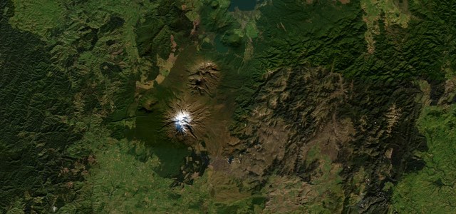
Satellite map of The Desert Road, New Zealand

The Desert Road

SH 1New Zealand

38 mi · 1 h 10 min · 1,079 m summit

20 more roads
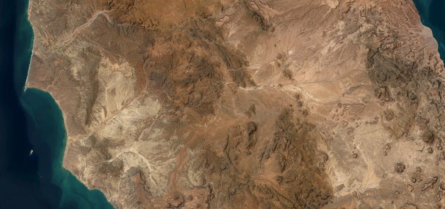
Satellite map of El Rosario to Cataviña, Mexico

El Rosario to Cataviña

MEX 1Mexico

76 mi · 2 h 31 min · 699 m summit

Satellite map of Moki Dugway, The West

Moki Dugway

UT 261The West

10 mi · 23 min · 1,965 m summit

Satellite map of Burr Trail, The West

Burr Trail

The West

33 mi · 1 h 13 min · 2,087 m summit

Satellite map of Scenic Byway 12 Hogback, The West

Scenic Byway 12 Hogback

UT 12The West

28 mi · 1 h 1 min · 2,068 m summit

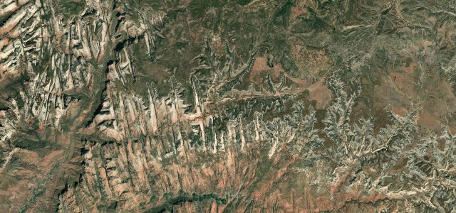
Satellite map of Zion–Mount Carmel Highway, The West

Zion–Mount Carmel Highway

UT 9SR 9The West

20 mi · 42 min · 1,865 m summit

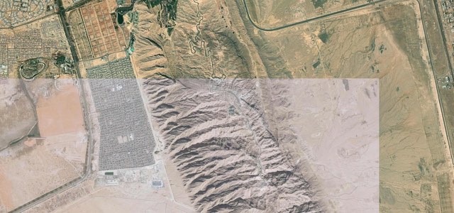
Satellite map of Jebel Hafeet, UAE

Jebel Hafeet

UAE

6 mi · 13 min · 1,048 m summit

Satellite map of King's Highway (Wadi Mujib), Jordan

King’s Highway (Wadi Mujib)

35Jordan

53 mi · 1 h 45 min · 9 hairpins

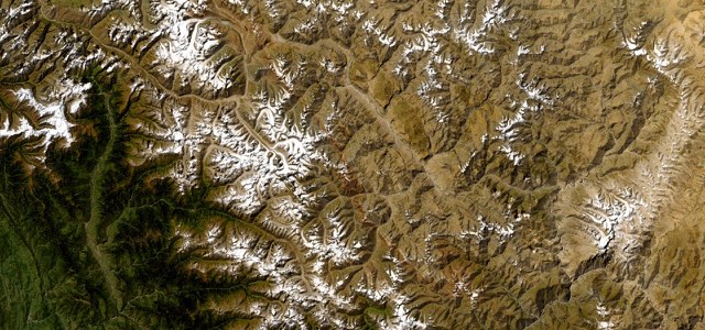
Satellite map of Khardung La, India

Khardung La

India

70 mi · 2 h 26 min · 35 hairpins

Satellite map of Spiti Valley Road, India

Spiti Valley Road

NH505India

173 mi · 6 h 42 min · 109 hairpins

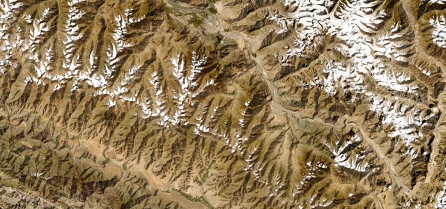
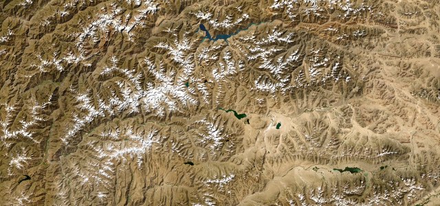
Satellite map of Pamir Highway, Tajikistan

Pamir Highway

M41Tajikistan

193 mi · 6 h 45 min · 4,275 m summit

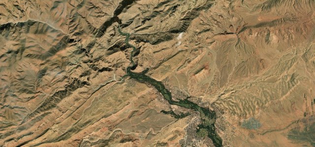
Satellite map of Dades Gorge, Morocco

Dades Gorge

R704Morocco

19 mi · 45 min · 35 corners

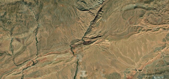
Satellite map of Todra Gorge, Morocco

Todra Gorge

R703Morocco

9 mi · 18 min · 25 corners

8 more roads
Satellite map of El Camino del Rio, The West

El Camino del Rio

FM 170The West

48 mi · 1 h 41 min · 868 m summit

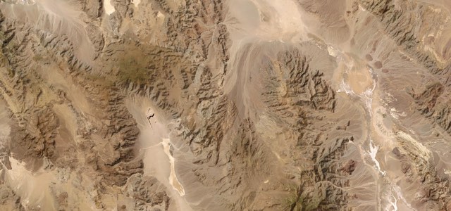
Satellite map of Death Valley Scenic Byway, The West

Death Valley Scenic Byway

CA 190The West

73 mi · 2 h 25 min · 1,604 m summit

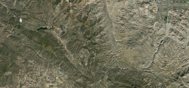
Satellite map of Palms to Pines Scenic Byway, The West

Palms to Pines Scenic Byway

CA 74The West

33 mi · 1 h 6 min · 1,523 m summit

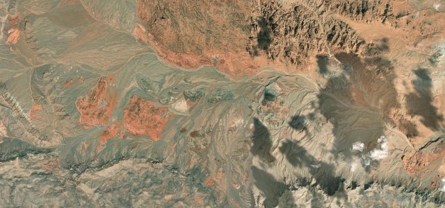
Satellite map of Valley of Fire Highway, The West

Valley of Fire Highway

The West

7 mi · 13 min · 808 m summit

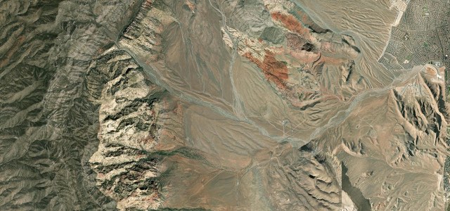
Satellite map of Red Rock Canyon Scenic Drive, The West

Red Rock Canyon Scenic Drive

The West

12 mi · 24 min · 1,458 m summit

Satellite map of San Pedro de Atacama to Paso de Jama, Chile

San Pedro de Atacama to Paso de Jama
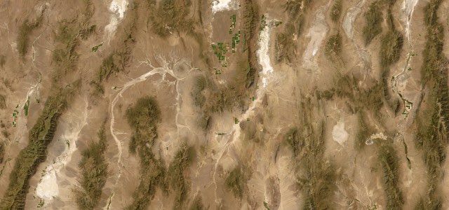
CH-27Chile

95 mi · 3 h 20 min · 4,828 m summit

Satellite map of The Loneliest Road in America, Austin to Ely, The West

The Loneliest Road in America, Austin to Ely
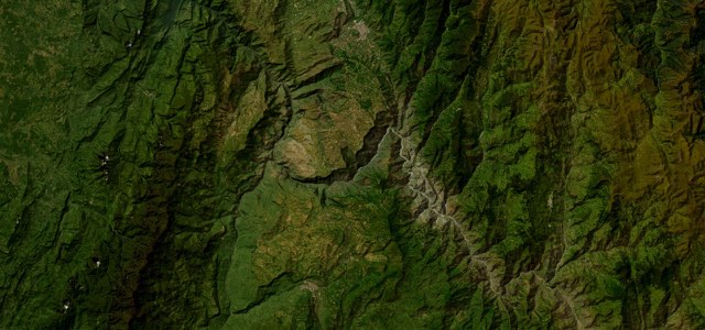
US 50The West

145 mi · 4 h 26 min · 2,318 m summit

Satellite map of Chicamocha Canyon Road, Colombia

Chicamocha Canyon Road

Ruta 45AColombia

49 mi · 1 h 42 min · 7 hairpins

More collections

All 80 collections ›