Manawatū-Whanganui / Waikato · New Zealand
The Desert Road
SH 1Waiouru to Tūrangi
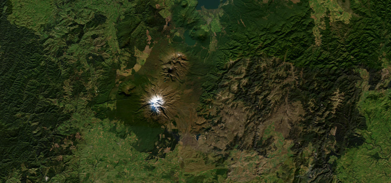
State Highway 1 across the Rangipo Desert, about 62 km of tussock, scrub and sand beneath Ruapehu, Ngauruhoe and Tongariro, cresting at 1,074 m, the highest pass on New Zealand’s state highway network.
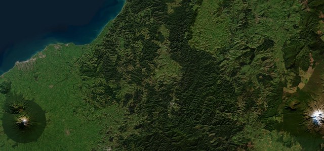
From the SH 49 junction at Waiouru, by the National Army Museum, SH 1 heads north through the army training ground that covers much of the southern Rangipo Desert. Farmland gives way to tussock, scrub and sand, with Ruapehu, Ngauruhoe and Tongariro to the west and the Kaimanawa Mountains to the east, and the road rises to its summit at 1,074 m, where the Manawatū-Whanganui and Waikato regions meet. Further north it crosses the Waihohonu Stream and, near the end of the desert, opens a view of the cone of Ngauruhoe with the flatter Tongariro to its right. Past the Tree Trunk Gorge Road turn-off the highway drops off the volcanic plateau through Rangipo to Tūrangi. There are no official lookouts or public toilets, only roadside pull-overs, and the last fuel is at Waiouru and Tūrangi. Barrier arms close the road for short periods most winters when snow and ice take hold, as they did on 17 August 2026.
Scenery
Best seasons
In these collections
The Desert Road on the map38.2 mi · point to point
Navigate to the start: Apple Maps · Google Maps
Character
Corners
busiest around mile 26Elevation
under 4%4 to 8%over 8%382 to 1,079 mPoints of interest3 stops
- National Army MuseumTe Mata Toa, the army museum on State Highway 1 at Waiouru, at the southern end of the road.at the start
- Desert Road summitAt 1,074 m the highest pass on the state highway network, where the Manawatū-Whanganui and Waikato regions meet.13 mi in
- Mount NgauruhoeRoadside pull-off near the northern end of the desert looking west to the cone of Ngauruhoe.22 mi in
Hazards
- Closed by snow and ice for short periods most winters
- Strong, cold winds on the open plateau
- Weather changes quickly
- No fuel or public toilets between Waiouru and Tūrangi
See the typical season and live conditions for the high passes ›
Sources
“The Desert Road (State Highway 1 between Waiouru and Tūrangi) is one of New Zealand’s most striking drives”
“renowned as one of New Zealand’s most scenic drives”
“Along the way, you’ll enjoy amazing views of Tongariro National Park’s volcanoes.”
Route traced from OpenStreetMap, with its stats measured from that line. How the roads are mapped
Driving the Desert Road: quick answers
How long does it take to drive the Desert Road?
How difficult is the Desert Road to drive?
When is the best time to drive the Desert Road?
Nearby roads
The closest great drives to The Desert Road.