
 Country guide
The best driving roads in New Zealand
All 15 driving roads in New Zealand on one interactive map, including 3 world icons, each with its route, climb and best seasons.
The five to build a trip around
Our ranking, icons first, with the reasoning on the table. All 15 roads follow below.
-
1
 10 mi22 min
Arthur’s Pass
The highest of the three roads over the Southern Alps, cresting at about 920 m before the main event: a 16 percent drop down the Otira Gorge on a 440-metre viaduct built because the old road kept sliding away.
-
2
 1,080 msummit
Crown Range Road
New Zealand’s highest sealed through road between Queenstown and Wanaka.
-
3
 72 mi2 h 18 min
Milford Road
Some 119 km from Te Anau through the glacier-carved Eglinton Valley, into the single-lane Homer Tunnel and down a 1-in-10 plunge to the fiord beneath Mitre Peak.
-
4
 32 mi1 h 10 min
Danseys Pass Road
Remote tussock gravel pass over the Kakanui Mountains linking Naseby and the Waitaki.
-
5
 13 mi27 min
The 309 Road
Twisting gravel crossing of the Coromandel Range famed for its many bends and kauri grove.
The roads
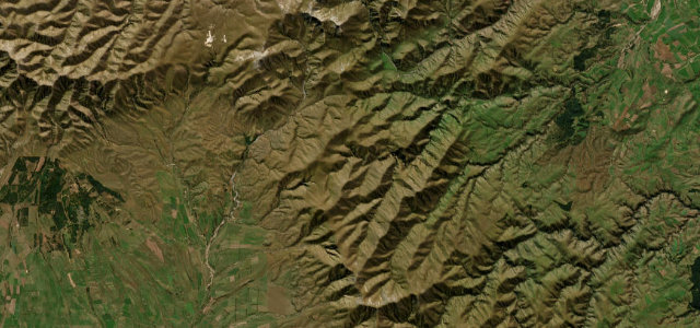 Danseys Pass Road32 mi · 1 h 10 min · 917 m summitView the roadbook ›
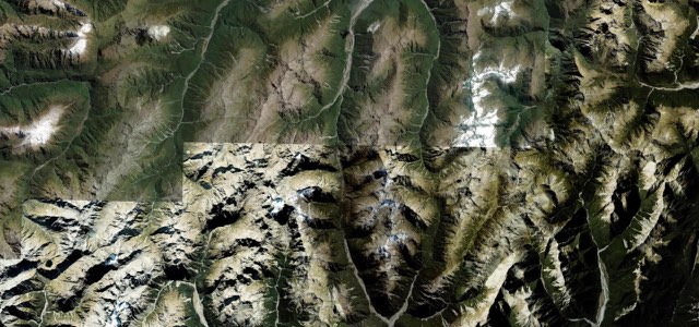
Arthur’s Pass
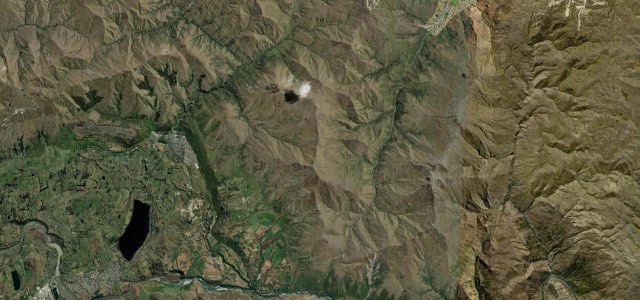
Crown Range Road
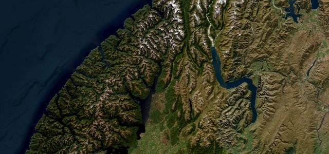
Milford Road
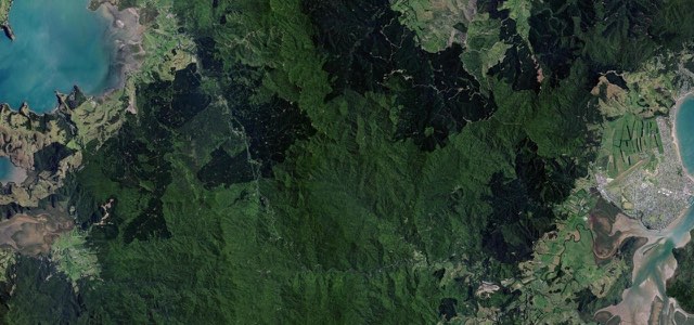
The 309 Road
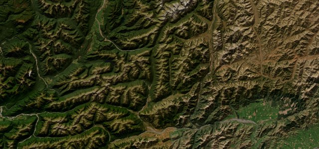
Lewis Pass
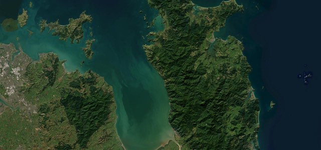
Coromandel Coast Road
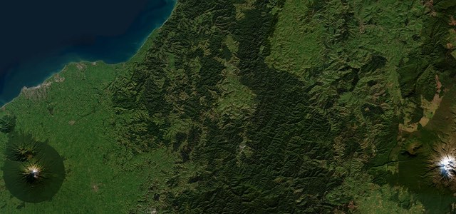
Forgotten World Highway
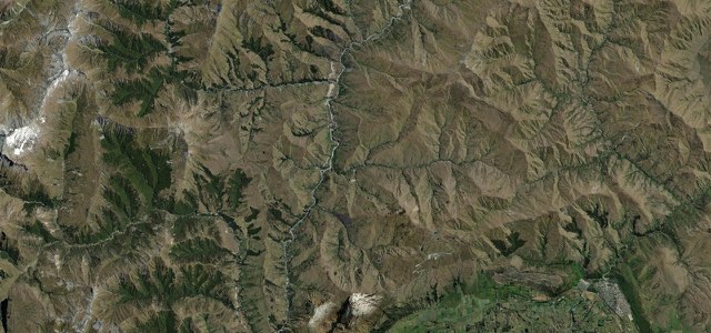
Skippers Canyon Road
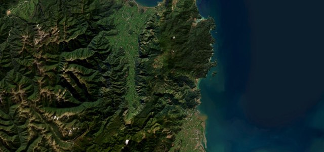
Takaka Hill
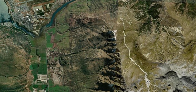
The Remarkables Ski Road
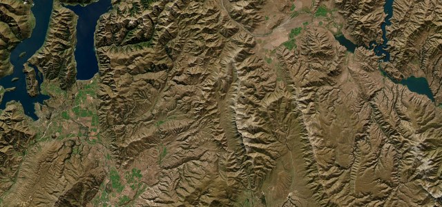
Lindis Pass
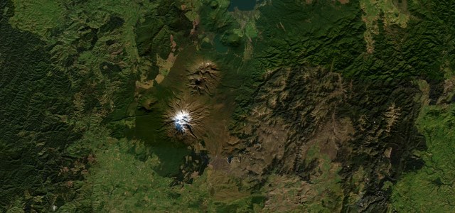
The Desert Road
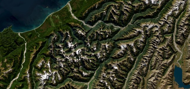
Haast Pass

 Australia

 Indonesia

 Philippines