Southland · New Zealand
Milford Road
SH 94Te Anau to Milford Sound
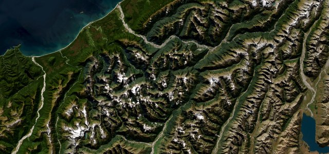
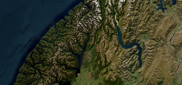
Some 119 km from Te Anau through the glacier-carved Eglinton Valley, into the single-lane Homer Tunnel and down a 1-in-10 plunge to the fiord beneath Mitre Peak. Kea work the tunnel queue while you wait, the most New Zealand traffic jam there is.
The Milford Road runs roughly 119 km from Te Anau to Milford Sound (Piopiotahi), one of New Zealand’s most celebrated drives. From the shore of Lake Te Anau it threads the glacier-carved Eglinton Valley past Mirror Lakes and Lake Gunn, climbs through the upper Hollyford Valley to The Divide, then bores through the single-lane, traffic-light-controlled Homer Tunnel, completed in 1953, descending a steep 1:10 grade to the fiord beneath Mitre Peak. Mind the Homer Tunnel queues, winter and spring avalanche risk, kea that gather at the portals, and fast-changing alpine weather that can close the road at short notice.
Beech forest opens onto the wide Eglinton Valley, then the road climbs to the raw Homer Tunnel and spills down the Cleddau to Milford Sound. Pure Fiordland theatre.
Why we picked it
On the road
The road runs from Te Anau to Milford Sound. Fill up before you go, as there are no fuel stations or shops past Te Anau. The drive takes about two hours each way without stops. A return trip that takes in the sights needs about eight hours.
Mirror Lakes reflect the Earl Mountains best early in the day, before the wind gets up. Knobs Flat has toilets. The Lake Gunn nature walk is an easy loop of about 45 minutes. The Divide is the lowest east-west pass in the Southern Alps, and the three-hour return walk to Key Summit starts from its car park. Monkey Creek is one of the best places to see kea. They are endangered, so don’t feed them.
Between the Hollyford Road junction and The Chasm, stopping is banned because of avalanche risk. In winter, roughly June to November, you may need to carry snow chains, which can be hired in Te Anau. Check the road status the night before. In the summer peak, traffic lights at the Homer Tunnel can hold you for up to 20 minutes. The road is shut on about eight days a year on average, mostly in winter.
Scenery
Best seasons
In these collections
In these Grand Tours
In these guides
Milford Road on the map72.0 mi · point to point
Navigate to the start: Apple Maps · Google Maps
Character
Corners
busiest around mile 61Elevation
under 4%4 to 8%over 8%7 to 923 mFrom the road
Points of interest3 stops
- Five Mile LookoutViewpoint3.8 mi in
- Mirror LakesViewpoint34 mi in
- Milford SoundViewpoint71 mi in
Hazards
- Homer Tunnel single-lane
- Avalanche risk
- Kea damage parked cars
- Sudden alpine weather
- Closes at short notice, about eight days a year, mostly in winter
- Ice and snow
Is Milford Road open? Typical season and live summit weather ›
Sources
“every bit as impressive as the destination”
Route traced from OpenStreetMap, with its stats measured from that line. How the roads are mapped
Routes for iPhone carries Milford Road offline, with live weather and a 7 day forecast.
Nearby roads
The closest great drives to Milford Road.