Guide
The best coastal drives in the world
A great coast road gives you two views for the price of one: the sea on one side, the land falling into it on the other. These are the finest coastal drives in our catalogue, the cliff roads and shoreline sweeps worth crossing a country for, each hand-picked and mapped from its real geometry.
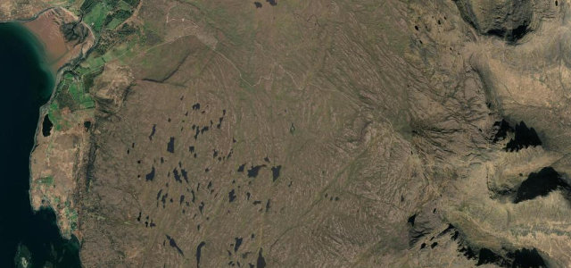 Bealach na Bà7 mi · 18 min · 626 m summitView the roadbook ›
Distance
-
1
7 mi18 min
Bealach na Bà
A coast road in the truest sense: it starts at the tide of Loch Kishorn, climbs its alpine hairpins to 626 m, and delivers you back to the sea at Applecross with Skye and the Hebrides filling the horizon the whole way down. The salt is in the air at both ends and the panorama in between is the finest sea view any British road offers. Single-track with passing places, 1-in-5 at the steepest, and weather straight off the Atlantic that can close it in snow; earn it slowly, then have the seafood at the inn with the tide in front of you. The greatest coastal arrival in these islands.
-
2
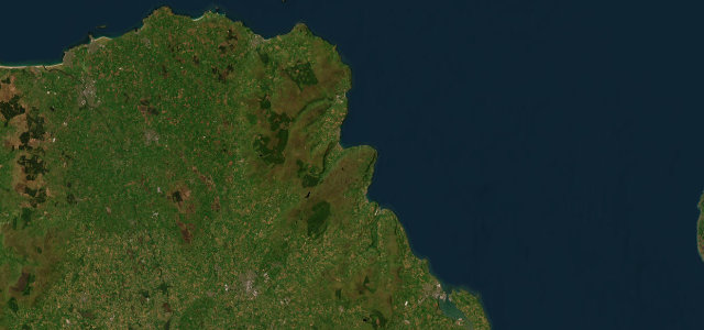 39 mi1 h 19 min
Causeway Coastal Route
Forty miles of Northern Ireland doing its best work: the A2 threading between the sea and the nine Glens of Antrim, harbours and headlands taking turns, castles on the cliffs, and the Giant’s Causeway waiting at the far end. As pure coast-following goes nothing else in Britain or Ireland sustains it this long. It is a touring road, honest and gentle, so give it the day it deserves: cyclists and coaches share the season, the North Channel sends its weather across undiluted, and every village deserves the stop. Finish on the basalt columns at golden hour and try to argue the world list placement. You will not.
-
3
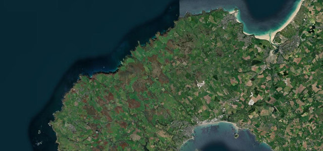 16 mi33 min
St Ives to St Just
The road across the end of England. From St Ives to St Just the B3306 runs the granite shelf of Penwith between moorland and Atlantic, threading ancient field walls that were old when the Romans arrived, engine houses on the skyline, the sea always a field away. It is narrow, twisting and slow, with blind bends and farm traffic setting the pace, which is correct: this is a landscape to move through at the speed of looking. Out of season, in low winter light, it is one of the most atmospheric drives in Britain. Stop at Zennor, walk to a cove, carry on to the last town before America.
-
4
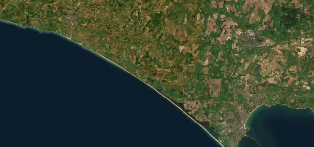 18 mi35 min
Jurassic Coast Road
The great grandstand of the Dorset coast. The B3157 rides the high ground between Weymouth and Bridport with the whole eighteen-mile sweep of Chesil Beach laid out below, the Fleet lagoon behind it, and the Channel beyond, one of the finest sustained sea views from any English road. The road itself undulates and dips through villages of golden stone, with proper gradients at Abbotsbury and summer traffic that believes in stopping. Drive it westbound in the afternoon so the light works the shingle, and pull in at the marked viewpoints; the temptation to stare is genuinely dangerous at the wheel here.
-
5
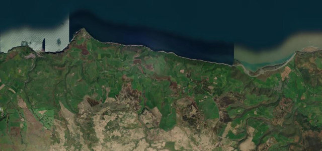 12 mi27 min
Porlock Hill
The hill is the headline: 1-in-4 hairpins hauling the A39 off the Somerset coast and onto Exmoor, one of the steepest main-road climbs in England, with the toll road through the woods as the graceful alternative for the unsure. But the whole run earns the entry, coast on one shoulder, moor on the other, Porlock bay shrinking below as you climb. Low gear up, lower gear down, and mind the brakes; the descent has ended more clutches and brake sets than any road in the West Country. Short, historic and genuinely steep, it is the Exmoor coast at its most theatrical.
-
6
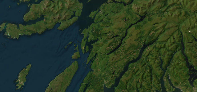 36 mi1 h 12 min
Oban to Lochgilphead
The quiet masterpiece of the Argyll coast. South of Oban the A816 winds past sea lochs and island views into Kilmartin Glen, one of the richest prehistoric landscapes in Europe, standing stones and burial cairns scattered within yards of the tarmac. The road is narrow and undulating with blind summits and logging traffic, so the pace stays honest, and the rewards keep coming for thirty-six miles: Luing and Scarba offshore, forest, machair, history. It is never crowded, which among the roads on this list makes it almost unique. Take the Kilmartin museum stop; the road is better when you know what you are driving through.
-
7
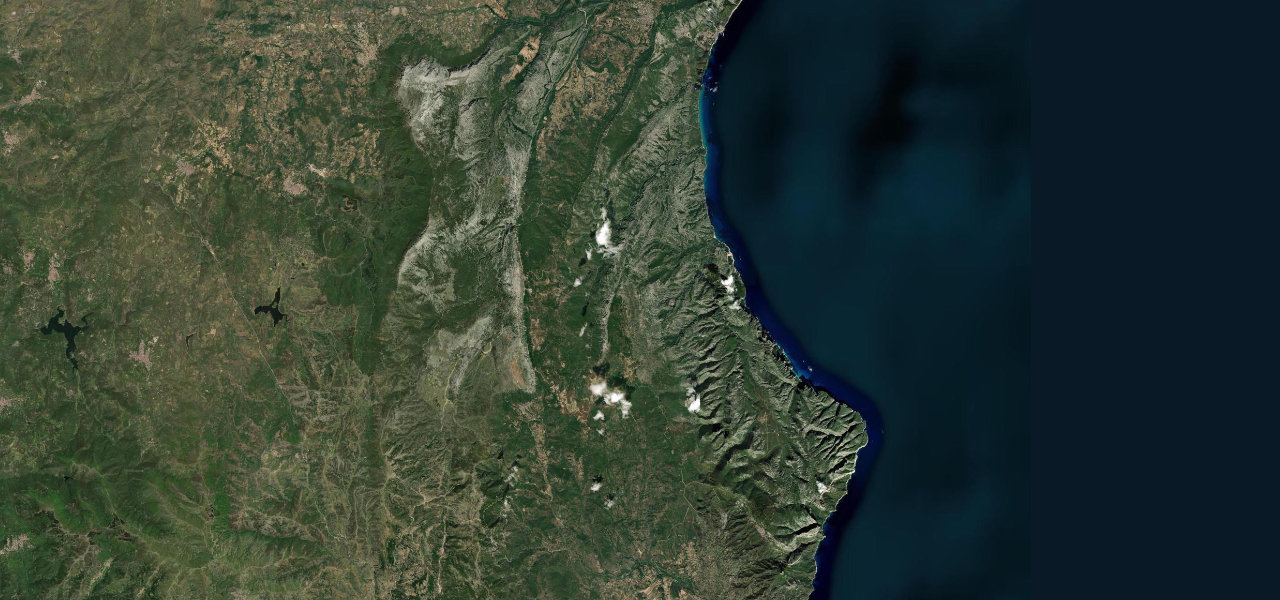 27 mi57 min
Orientale Sarda
Ask drivers for the best road on earth and this is the name that comes up most. The SS125 south of Dorgali loops through the limestone passes of the Supramonte above the Gulf of Orosei, fifty kilometres of near-perfect asphalt, short straights feeding continuous blind bends, topping out at Ghenna 'e Silana above Gorropu, Italy’s deepest gorge, and it is very often completely empty. The sea is a blue presence far below rather than a shoulder companion, which is the only reason it sits this far down a coastal list. Watch for livestock and rockfall after rain, fuel up beforehand, and drive it in spring or autumn when the light is long and the coaches are elsewhere.
-
8
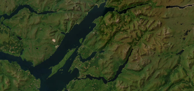 26 mi49 min
Appin Coast
The gentle one, and sometimes the gentle one is the day’s best decision. The A828 follows the Appin shore between Ballachulish and Connel with Castle Stalker posing on its tidal island, the hills of Morvern across the water, and the loch doing something different with the light every mile. It flows rather than fights, narrowing at the old bridges, carrying its share of tourist traffic in season. Driven as the connector between Glencoe and the Oban coast it turns a transfer into a pleasure; driven for itself, slowly, it is the west Highlands with the difficulty turned down and the beauty left at full volume.
-
9
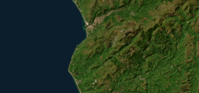 19 mi38 min
Tywyn Coast Road
The Mawddach estuary is the star: the A493 leaves Dolgellau along its southern shore, mountains reflected in the tidal flats, then turns down the Cardigan Bay coast to Tywyn beneath the seaward slopes of Cadair Idris. Estuary, mountain and open sea in nineteen miles, with the narrow shoreline stretches and small towns keeping the pace honest. Time the estuary leg for low tide light and it is one of the most quietly beautiful drives in Wales. Loop back over the A487 through Corris and you have circled Cadair Idris entirely, which is the correct way to spend a Welsh afternoon.
-
10
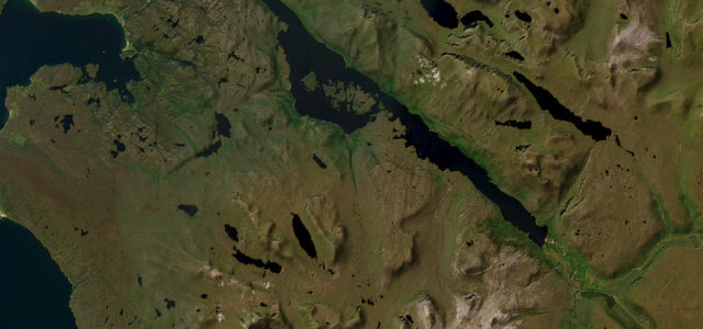 19 mi40 min
Loch Maree & Wester Ross
Loch Maree is one of Scotland’s great sights and the A832 gives you all of it: the road runs the full southern shore beneath the vast buttress of Slioch, island-studded water on one side, ancient pinewood on the other, before breaking out to the coast at Gairloch. It is narrow, winding, single-track in stretches, with deer and sheep asserting ancient rights. This is the heart of Wester Ross, on the doorstep of the Bealach and the Torridon glens, and stringing them together makes the finest driving day Scotland offers. Stop at the Victoria Falls, use the passing places, and let the loch set the tempo.
-
11
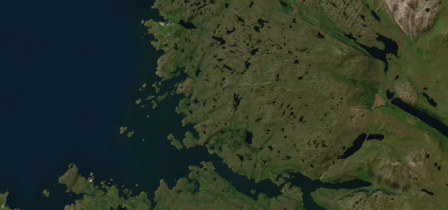 9 mi20 min
Kylesku
Assynt is the strangest, oldest landscape in Britain, mountains standing alone like monuments, and the A894 crosses it to the elegant curve of the Kylesku Bridge, the engineering high point of the whole North Coast 500. The bridge’s sweep over the meeting of two sea lochs deserves the photo stop the car park invites; the road either side is single-track in places with blind summits and the usual Highland livestock committee. Short, wild and completely distinctive, it is the far north at its best. Catch it in evening light when Quinag glows and the lochs go to pewter, and you will understand why the NC500 exists.
-
12
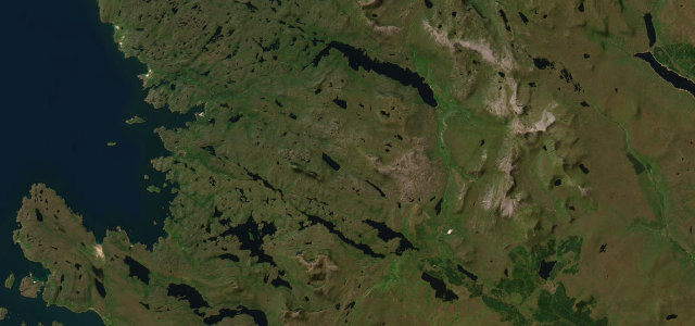 21 mi45 min
Assynt & Lochinver
A lonely road beneath Suilven to the fishing village of Lochinver.
-
13
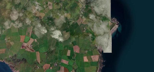 2 mi4 min
Mull of Galloway
Single-track run down the Rhinns from Drummore toward Scotland’s most southerly point.
-
14
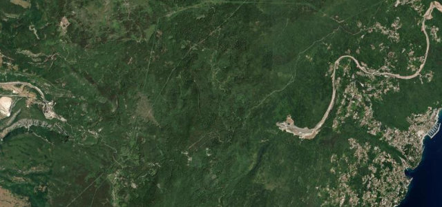 8 mi17 min
Učka Poklon Road
The old hairpin road over the Učka massif via Poklon pass, the mountain wall separating Istria from the Kvarner coast, bypassed by the A8 tunnel.
-
15
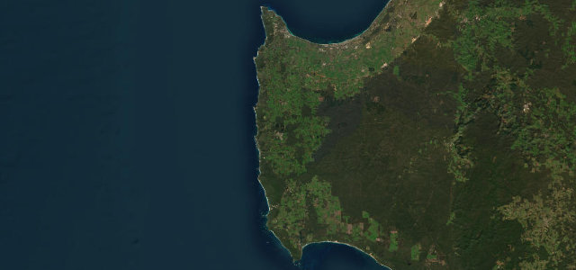 58 mi1 h 50 min
Caves Road
A winding tunnel of karri forest and vineyards running the length of the Margaret River wine country between two capes.
-
16
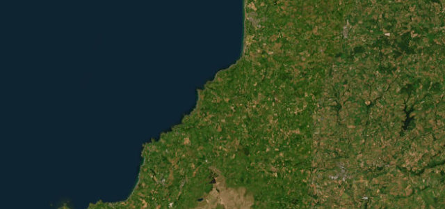 16 mi31 min
Atlantic Highway
The wild north-Cornwall coast road above the Atlantic surf.
-
17
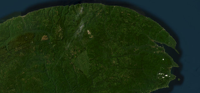 165 mi5 h 15 min
Route 132 Gaspé Coast
Sainte-Anne-des-Monts to Perce along the cliff-lined Gaspe coast of the St.
-
18
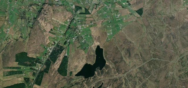 4 mi10 min
Mamore Gap
A steep hairpin notch through the Urris Hills on Donegal’s Inishowen peninsula.
-
19
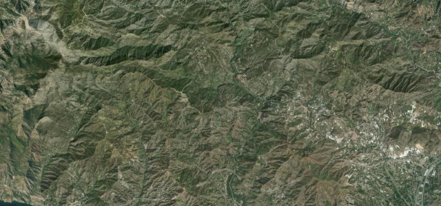 14 mi32 min
Carretera de la Cabra
The Road of the Goat, a serpentine old mule route from the Granada hills to the Tropical Coast.
-
20
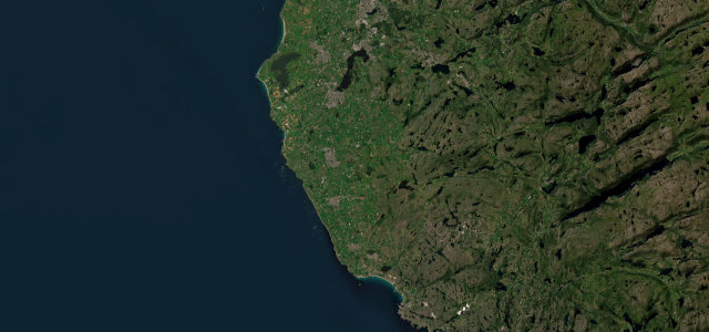 24 mi43 min
Jæren
Fv44, the Nordsjøvegen, runs flat along the North Sea from Ogna to Bore, past drystone-walled farmland, the Kvassheim lighthouse and the long sand at Borestranden.
-
21
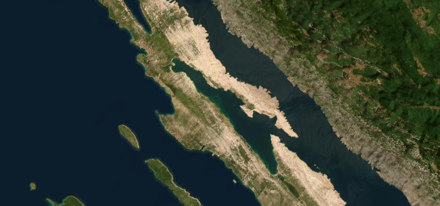 19 mi37 min
Pag Island Karst Road
Lunar karst spine road from Pag town to Novalja.
-
22
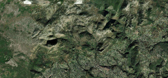 6 mi13 min
Col de Vence
The Riviera back-country road carmakers head straight for when launching a new car, a twisting climb above Vence into a lunar plateau.
-
23
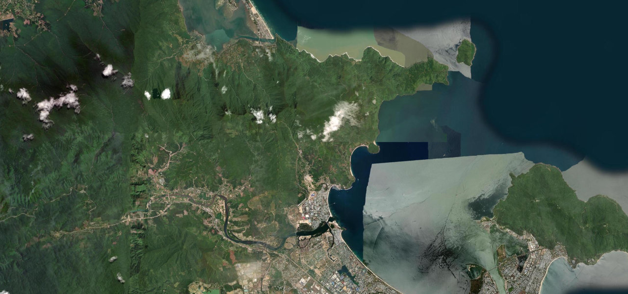 15 mi31 min
Hai Van Pass
Vietnam’s most iconic coastal mountain pass, made world-famous by Top Gear, threading 21 km over a 496 m summit between Da Nang and Lăng Cô with the sea far below.
-
24
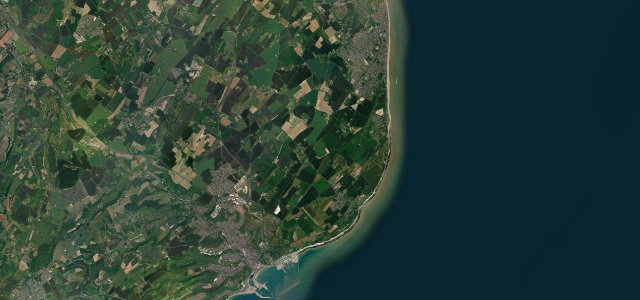 9 mi16 min
Dover to Deal
The white-cliffs coast road from Dover to Deal.
-
25
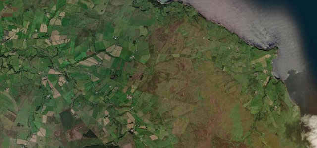 5 mi12 min
Torr Head Scenic Road
A narrow clifftop alternative to the Causeway Coast, with Scotland in view.
-
26
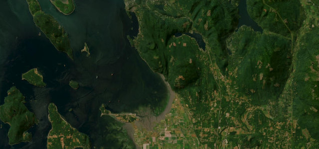 11 mi23 min
Chuckanut Drive
A cliff-hugging coast road south of Bellingham.
-
27
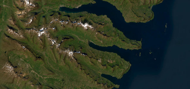 24 mi47 min
East Fjords Coast
Paved Ring Road threading three quiet eastern fjords.
-
28
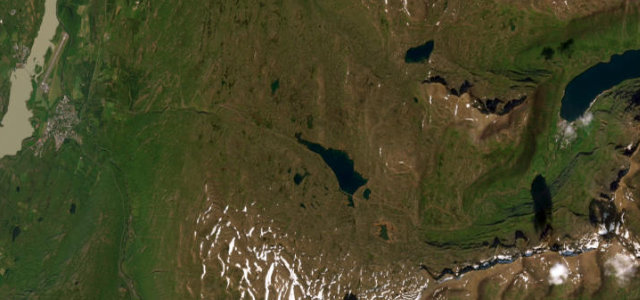 16 mi32 min
Fjardarheidi Pass
Route 93 over the Fjardarheidi mountain pass, switchbacking down past waterfalls into the fjord town of Seydisfjordur in east Iceland.
-
29
 6 mi14 min
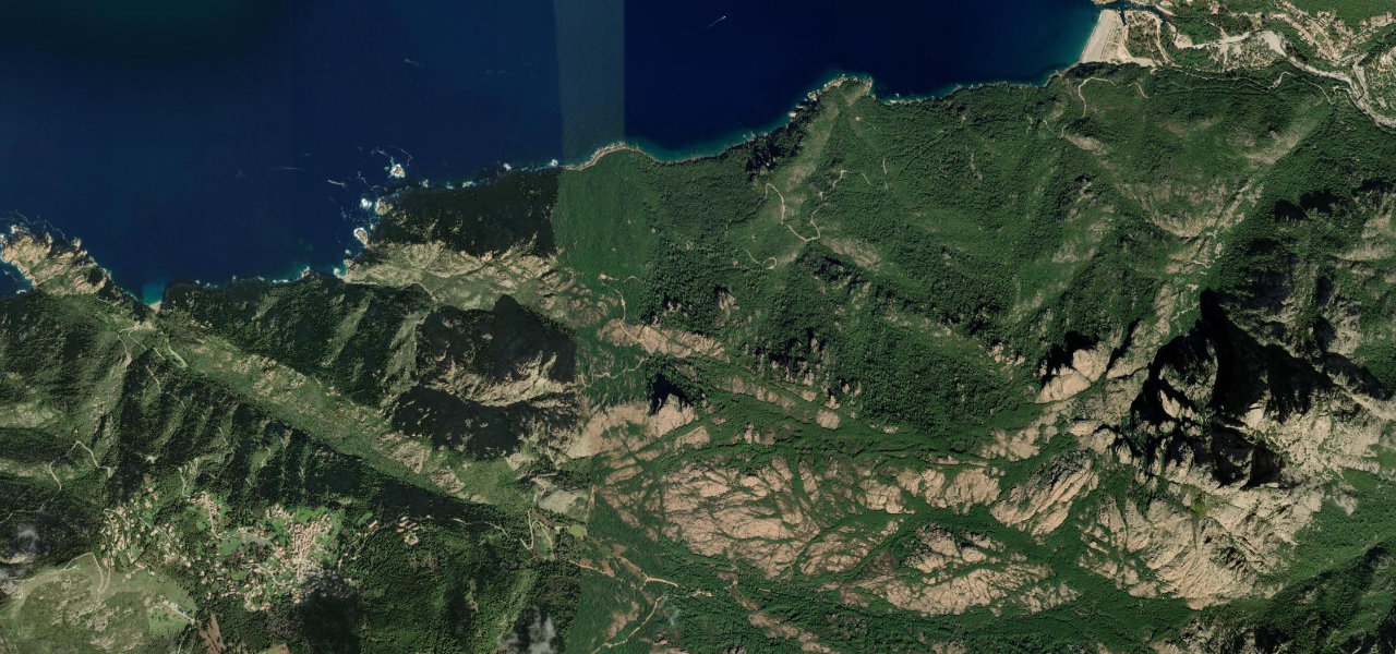
Calanche de Piana
Twelve kilometres of UNESCO-listed red-granite cliffs plunging into the turquoise Gulf of Porto, widely considered one of the great drives of Europe.
-
30
 5 mi11 min
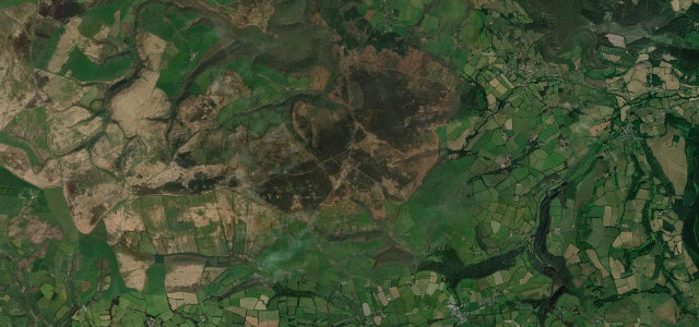
Dunkery Hill
Over the shoulder of Dunkery Beacon, Exmoor’s 519-metre high point, where the heather turns deep purple in late summer and the view runs across the Bristol Channel to Wales.
Common questions
Which road tops this guide?
How many roads are in this guide?
How is the ranking decided?
More guides
 Guide · 30 roads ranked
The longest great driving roads in the world
Some roads are a corner; others are a journey.
Read the guide › Guide · 30 roads ranked
The world’s most hair-raising hairpin roads
A hairpin is the purest test of a road and a driver: full lock, a held breath, then the next one.
Read the guide ›
Guide · 30 roads ranked
The best driving roads in the world
Every list of the world’s best driving roads ends in an argument, so here is mine, with its reasoning on the table.
Read the guide ›