Rangárþing eystra · Iceland
South Coast at Vík
1Skógar to Vík
Paved Ring Road run past waterfalls to black beaches.
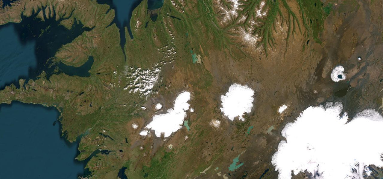
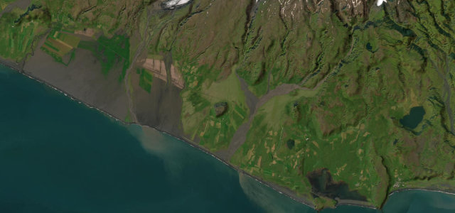
This roughly 33 km section of Route 1 runs east from Skógafoss waterfall to the village of Vík, the southernmost in Iceland, beside the Reynisfjara black sand beach and its basalt columns. The Ring Road here is fully paved and open year round. Mind sudden gusts, drifting volcanic sand, and dangerous sneaker waves if you stop at the beach.
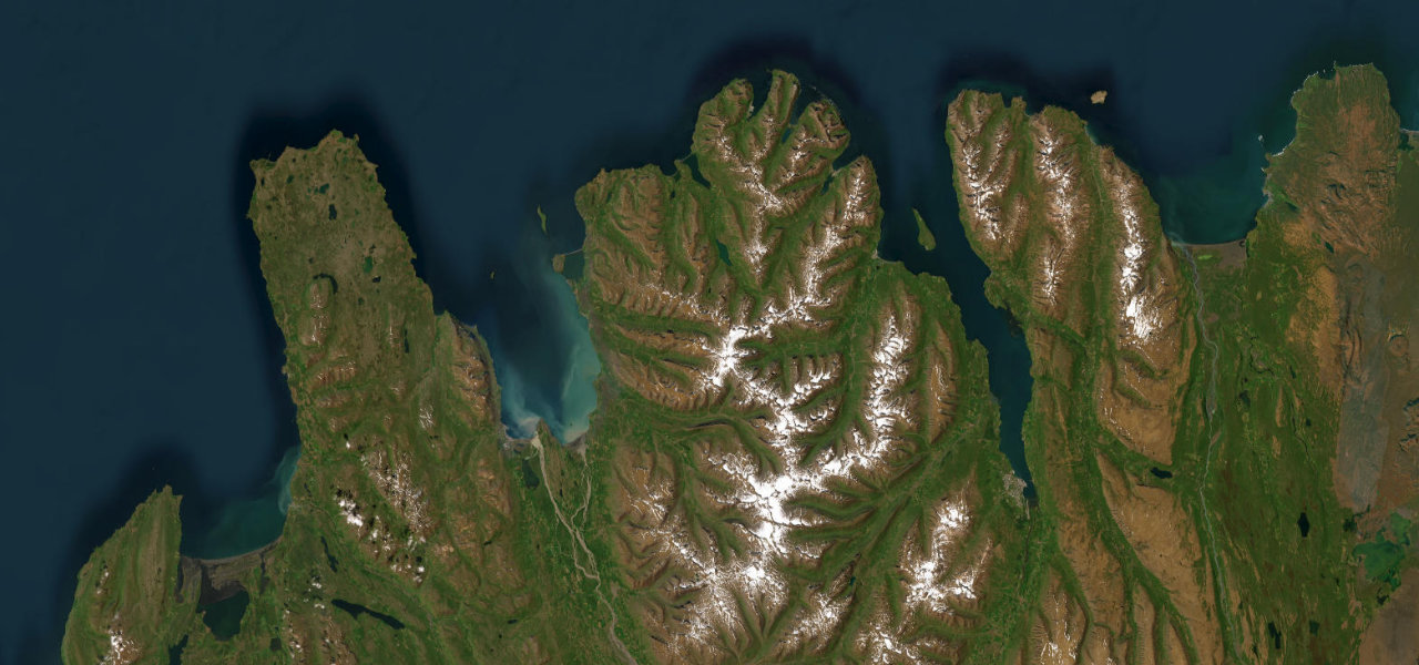
It runs past waterfalls and glacier-capped peaks, then sweeps down to the black-sand beaches and basalt stacks below Vik.
Why we picked it
Scenery
Best seasons
In these collections
In these Grand Tours
In these guides
Where it runs20.3 mi · point to point
Navigate to the start: Apple Maps · Google Maps
Character
Corners
busiest around mile 17Elevation
under 4%4–8%over 8%75.3 – 189.7 mPoints of interest2 stops
- ReynisfjallViewpoint18 mi in
- Icelandic Lava ShowLandmark20 mi in
Hazards
- Sneaker waves at Reynisfjara
- Blowing sand and ash
- Strong crosswinds
Sources
“Iceland's south coast... one of the best road trips in Iceland”
Verified route: mapped from real road geometry and fact-checked by a human editor. How roads get checked
Driving the South Coast at Vík: quick answers
How long does it take to drive the South Coast at Vík?
How difficult is the South Coast at Vík to drive?
When is the best time to drive the South Coast at Vík?
Nearby roads
The closest great drives to South Coast at Vík.