Guide
The best driving roads in Scandinavia and the Nordics
Nowhere rewards a patient drive like the Nordics. Norway alone stacks fjord ferries, glacier passes and the high plateau of the Hardangervidda, with Iceland’s volcanic ring road and the empty sweeps of Arctic Sweden close behind. These are the greatest drives we have mapped across Norway, Sweden, Iceland, Finland and the Faroes, every one from real geometry.
 Lake Myvatn Loop9 mi · 15 min · 25 cornersView the roadbook ›
Distance
-
1
9 mi15 min
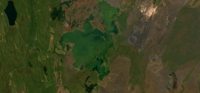
Lake Myvatn Loop
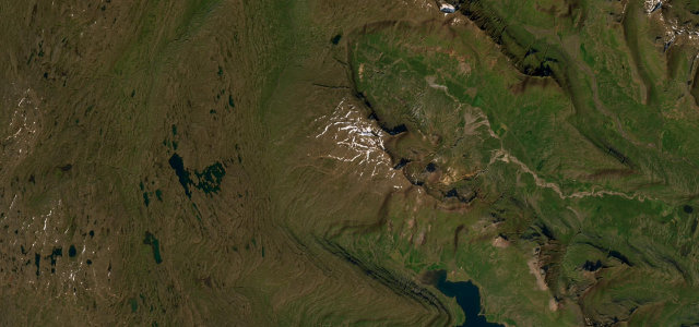
Route 848, the paved road running along the southern and eastern shore of volcanic Lake Myvatn, passing pseudo-craters, the Dimmuborgir lava fields and steaming geothermal ground, with the Ring Road closing the loop on the far side.
-
2
 42 mi1 h 24 min
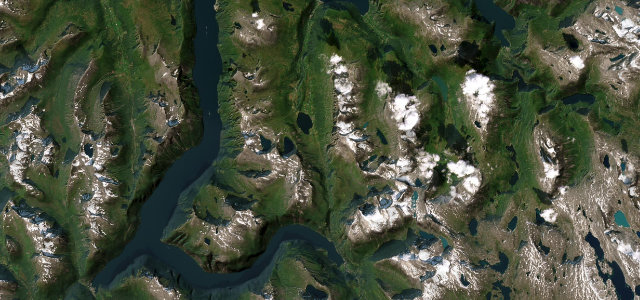
Hardangervidda Tourist Route
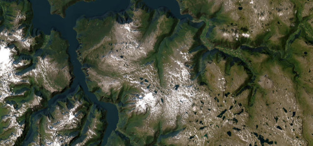
Rv7 traverses the vast Hardangervidda plateau past Vøringsfossen waterfall and the Måbødalen canyon, linking Hardangerfjord to the high mountain interior.
-
3
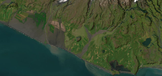
 24 mi43 min
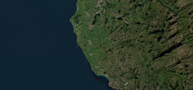
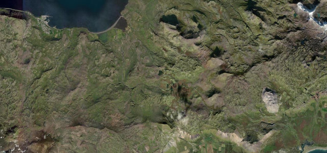
Jæren
Flat North Sea coastal road past long beaches.
-
4
 25 mi46 min
Flatruet
Sweden’s highest public road across an exposed gravel mountain heath at 975 m.
-
5
 13 mi27 min
Oxi Pass
Route 939, the steep gravel Oxi Pass over the Oxi heath, a white-knuckle shortcut across the mountains in east Iceland.
-
6
 24 mi47 min
East Fjords Coast
Paved Ring Road threading three quiet eastern fjords.
-
7
 56 mi1 h 43 min
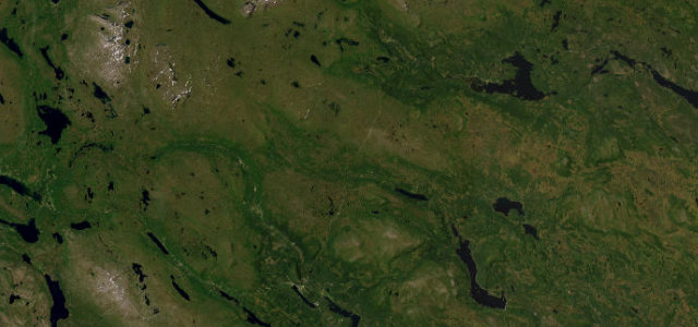
Stora Sjöfallet Ritsem Road
Paved dead-end road to the Sarek wilderness gateway.
-
8
 16 mi32 min
Fjardarheidi Pass
Route 93 over the Fjardarheidi mountain pass, switchbacking down past waterfalls into the fjord town of Seydisfjordur in east Iceland.
-
9
 51 mi1 h 38 min
Rondane
Mountain road along the Atndalen east of Rondane.
-
10
 14 mi27 min
Höga Kusten Nordingrå Coast Road
Winding coast road through the High Coast peninsula.
-
11
 222 mi6 h 46 min
Vildmarksvagen (Wilderness Road)
Sweden’s highest paved through-route over the bare Stekenjokk plateau.
-
12
 28 mi54 min
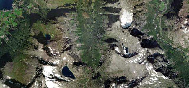
Valdresflye
A National Tourist Route to 1389 m across an open plateau with grandstand views over the Jotunheimen peaks.
-
13
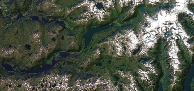
 103 mi3 h 36 min
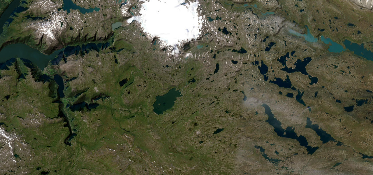
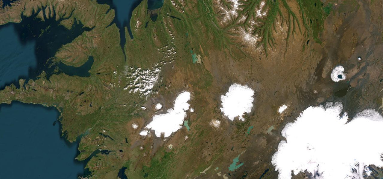
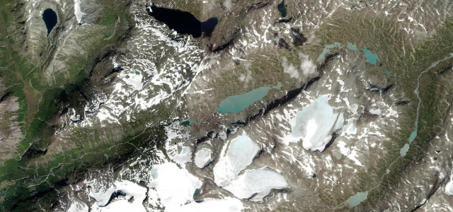
Kjölur Highland Route
Iceland’s most celebrated highland crossing, threading the Kjölur plateau between two massive ice caps through geothermal hot springs and ancient wilderness.
-
14
 29 mi53 min
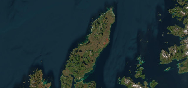
Andøya
Island coastal road from Andenes to Bjørnskinn.
-
15
 35 mi1 h 7 min
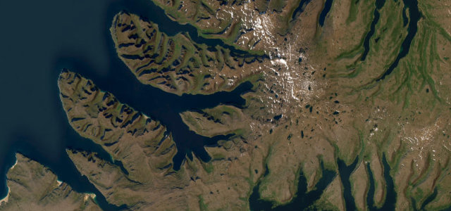
Westfjords Route 60 (Dynjandi)
Westfjords mountain-and-fjord drive over Dynjandisheidi past the Westfjords' grandest waterfall.
-
16
 5 mi11 min
Trollstigen
Norway’s Troll’s Ladder of eleven dramatic hairpins.
-
17
 14 mi31 min
Geiranger Eagle Road
Eleven hairpins above one of the world’s great fjords.
-
18
 42 mi1 h 38 min
Gaularfjellet
Mountain pass road between Sognefjord and Sunnfjord.
-
19
 13 mi24 min
Snæfellsnes Peninsula Coast
Paved coastal loop past a glacier-capped volcano.
-
20
 7 mi13 min
Atlantic Ocean Road
A causeway of bridges leaping between Atlantic skerries.
-
21
 30 mi1 h 2 min
Aurlandsfjellet Snow Road
A high, lunar mountain crossing past the Stegastein lookout.
-
22
 3 mi7 min
Lysevegen
A wall of numbered hairpins climbing from the head of the Lysefjord.
-
23
 34 mi1 h 9 min
Hardanger Sørfjord
Fjordside fruit-country road to Latefoss waterfall.
-
24
 72 mi2 h 25 min
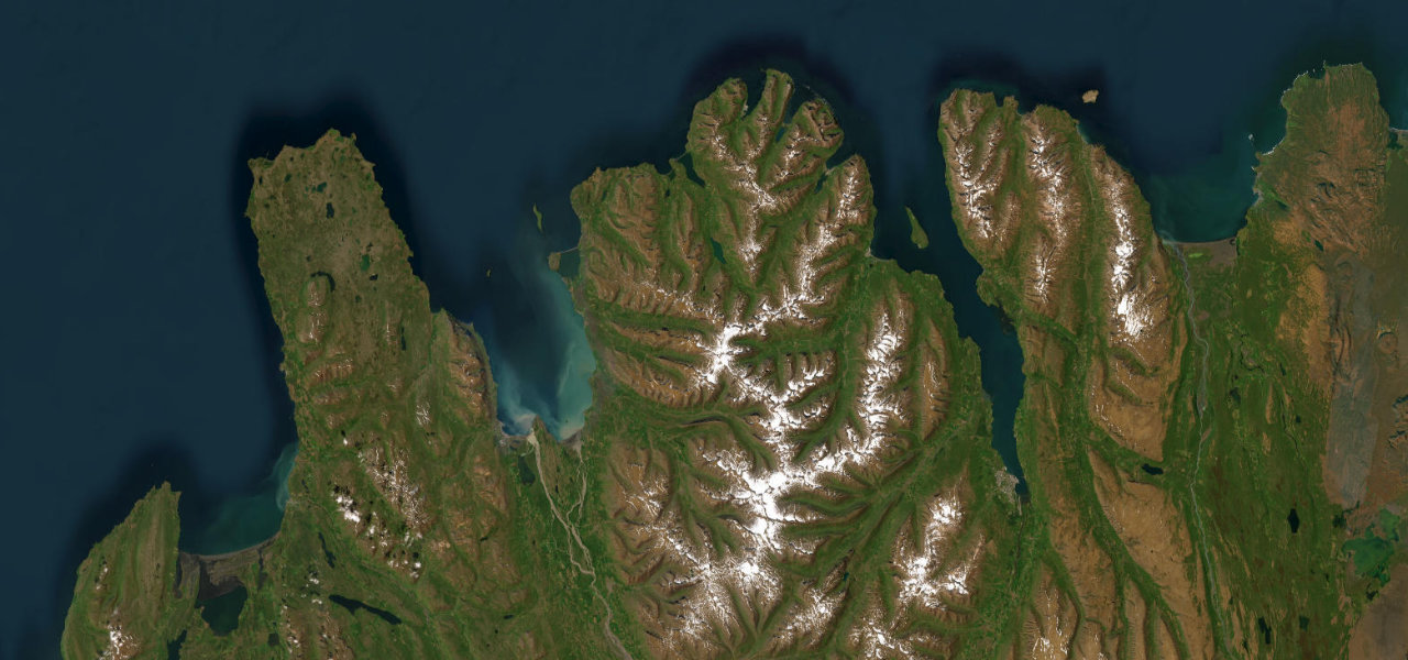
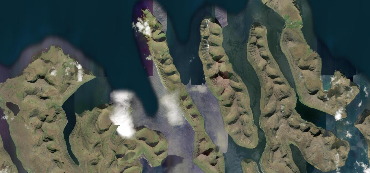
Tröllaskagi Peninsula Road
A paved coastal loop through North Iceland’s dramatic Troll Peninsula, threading narrow fjords, fishing villages, and single-lane mountain tunnels.
-
25
 7 mi13 min
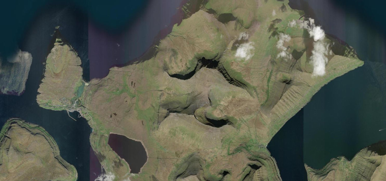
Route to Gásadalur
A 10 km road on Vágar that tunnels through a mountain to reach Gásadalur, a village of 18 people inaccessible by road until 2004, ending above the Múlafossur waterfall where a stream drops from the clifftop straight into the Atlantic.
-
26
 48 mi1 h 46 min
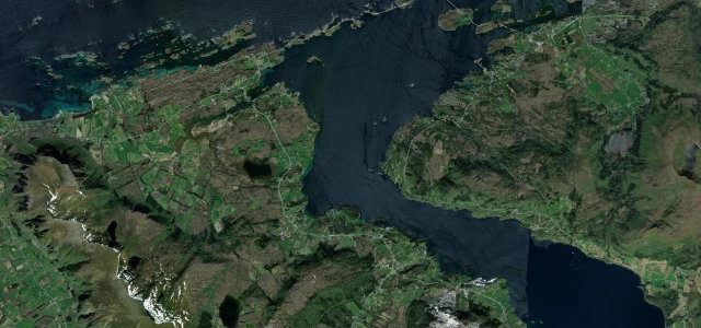
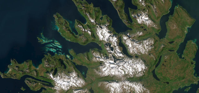
Senja
Arctic coastal road around Senja’s outer edge.
-
27
 20 mi36 min
South Coast at Vík
Paved Ring Road run past waterfalls to black beaches.
-
28
 10 mi20 min
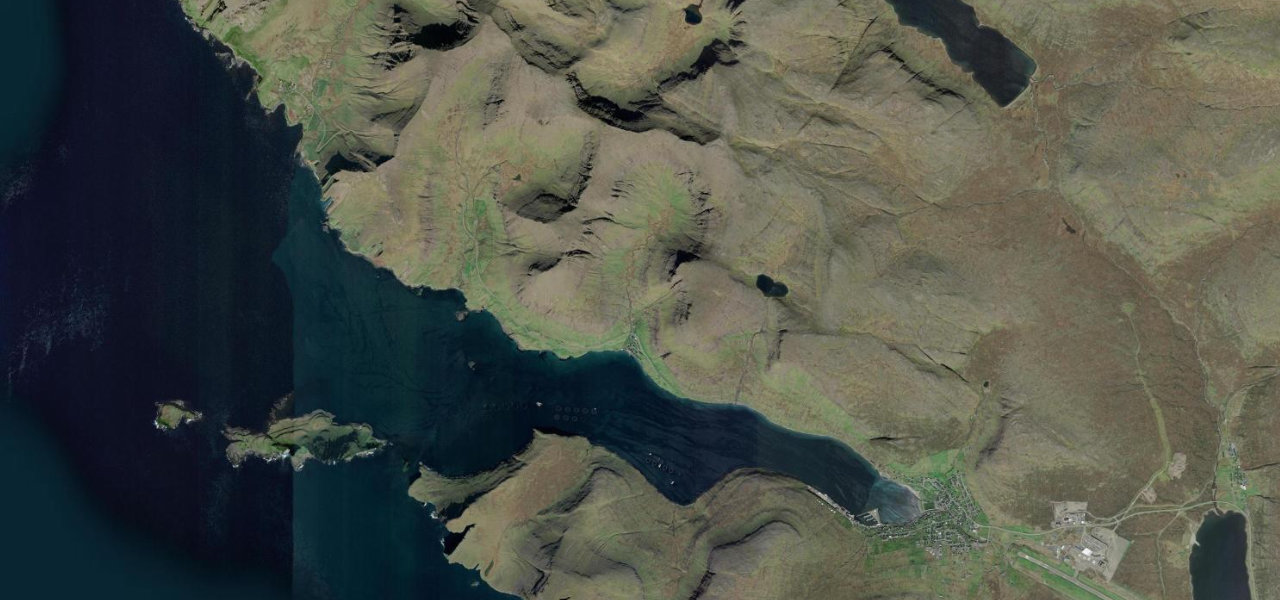
Kalsoy Island Road
The only road on the slender island of Kalsoy threads four narrow unlit tunnels and hugs the fjord coast between them, linking the ferry landing at Syðradalur to the near-deserted village of Trøllanes.
-
29
 8 mi16 min
Gjáarvegur
Gjáarvegur climbs from coastal Eiði over the flanks of Slættaratindur, the Faroes' highest peak at 882 m, before a spectacular hairpin descent into Gjógv, grass-roofed houses at the head of a 200 m sea gorge.
-
30
 17 mi37 min
Gamle Strynefjellsvegen
A narrow old summer road over the Strynefjell.
More guides
 Guide · 11 roads ranked
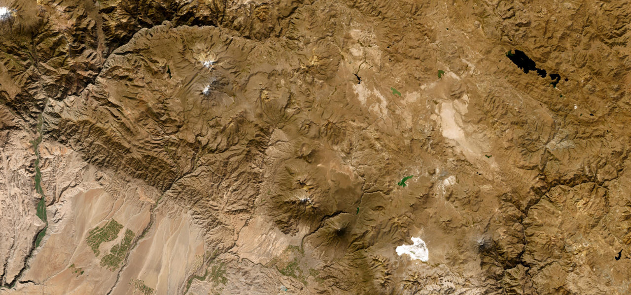
The best driving roads in South America
South America drives on a scale Europe cannot match.
Read the guide ›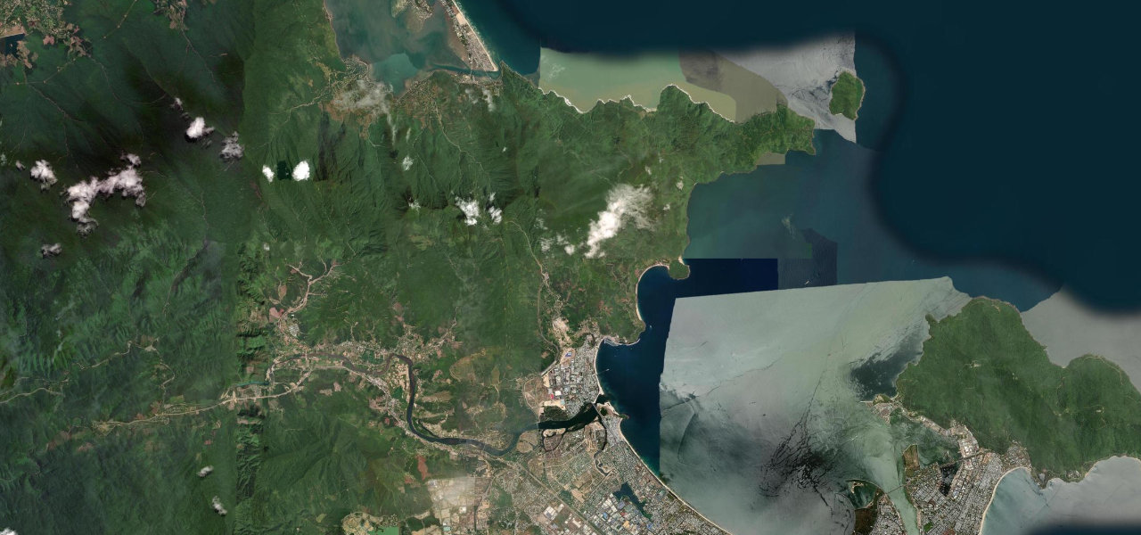 Guide · 10 roads ranked
The best driving roads in Southeast Asia
Southeast Asia rides through jungle, rice terrace and limestone karst.
Read the guide › Guide · 8 roads ranked
The best driving roads in the Himalayas
The Himalaya and Karakoram hold the highest drivable roads on earth.
Read the guide ›