Jämtland (Härjedalen) · Sweden
Flatruet
Z 531Funasdalen to Ljungdalen
Sweden’s highest public road across an exposed gravel mountain heath at 975 m.
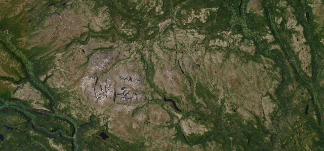
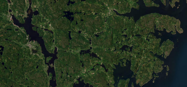
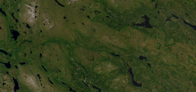
Flatruetvagen runs about 38 km between Funasdalen and Ljungdalen in Harjedalen, climbing to around 975 m where it is recognised as the highest public road in Sweden. The summit section crosses a bare, tundra-like heath of hard-packed gravel grazed by reindeer, with long open views toward the Norwegian border mountains. Much of the high stretch is unpaved and exposed, and it is effectively a summer drive. Mind the loose gravel surface on the high section, sudden mountain weather and fog, and reindeer wandering across the open heath.
Scenery
Best seasons
In these collections
In these guides
Where it runs25.4 mi · point to point
Navigate to the start: Apple Maps · Google Maps
Character
Corners
busiest around mile 10Elevation
under 4%4–8%over 8%605.3 – 971.2 mFrom the road
Points of interest2 stops
- DunsjöliftenLandmark25 mi in
- HöjdernaViewpoint22 mi in
Hazards
- Loose gravel on the high section
- Sudden mountain fog and weather
- Reindeer crossing the open heath
Sources
“Located near the Norwegian border, the entire road is very picturesque.”
Verified route: mapped from real road geometry and fact-checked by a human editor. How roads get checked
Driving the Flatruet: quick answers
How long does it take to drive the Flatruet?
How difficult is the Flatruet to drive?
When is the best time to drive the Flatruet?
Is the Flatruet fully paved?
Nearby roads
The closest great drives to Flatruet.