
 Country guide
The best driving roads in Sweden
7 hand-picked driving roads in Sweden, every one mapped from real geometry and fact-checked.
Roads7hand-picked
Combined754 mi1,213 km of driving
High point971 m3,186 ft
The five to build a trip around
Our ranking, icons first, with the reasoning on the table. All 7 roads follow below.
-
1
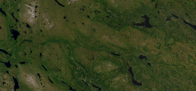 25 mi46 min
Flatruet
Sweden’s highest public road across an exposed gravel mountain heath at 975 m.
-
2
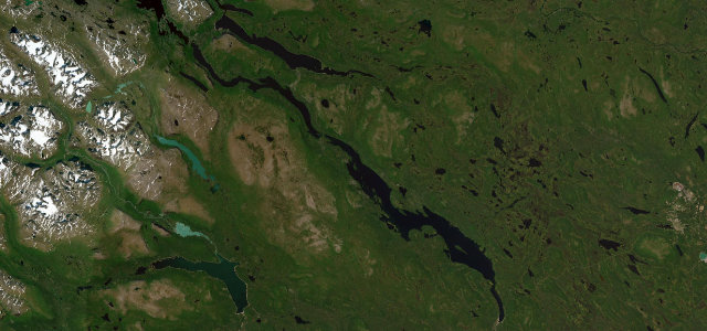 56 mi1 h 43 min
Stora Sjöfallet Ritsem Road
Paved dead-end road to the Sarek wilderness gateway.
-
3
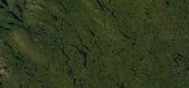 222 mi6 h 46 min
Vildmarksvägen (Wilderness Road)
Sweden’s highest paved through-route over the bare Stekenjokk plateau.
-
4
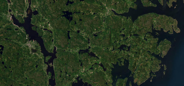 14 mi27 min
Höga Kusten Nordingrå Coast Road
Fourteen miles around the Nordingrå peninsula, red fishing hamlets and steep wooded hills above the Gulf of Bothnia, on a UNESCO coastline that has been rising since the glaciers left.
-
5
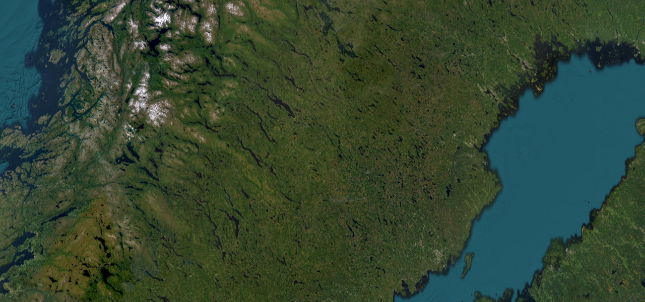 245 mi7 h 28 min
Blå Vägen
Sweden’s 'Blue Road' follows the Ume River from mountain Lapland to the Bothnian coast through 460 km of lake-threaded wilderness.
The roads
Flatruet25 mi · 46 min · 971.2 m summitView the roadbook ›
Stora Sjöfallet Ritsem Road
Höga Kusten Nordingrå Coast Road
Vildmarksvägen (Wilderness Road)
Blå Vägen
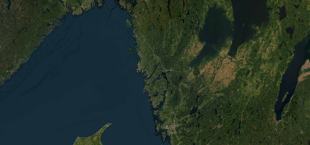
Bohuslän Coast Road
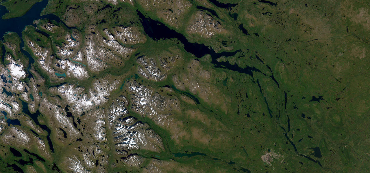
Nordkalottvägen
Collections featuring Sweden
Guides for this region
Nearby countries

 Norway
 Finland
 Faroe Islands
Driving in Sweden: common questions
What is the best driving road in Sweden?
Flatruet is the place to start. Sweden’s highest public road across an exposed gravel mountain heath at 975 m
How many great driving roads does Sweden have?
7 hand-picked and fact-checked roads, 754 miles of driving in all, every one mapped from real road geometry.
When is the best time to drive in Sweden?
Most of the roads here are at their best in summer and autumn. Several of the higher routes close over winter, so check the season before a cold-weather trip.