
 Country guide
The best driving roads in Norway
18 hand-picked driving roads in Norway, every one mapped from real geometry and fact-checked, including 5 world icons.
Roads185 world icons
Combined618 mi995 km of driving
High point1,431 m4,695 ft
The five to build a trip around
Our ranking, icons first, with the reasoning on the table. All 18 roads follow below.
-
1
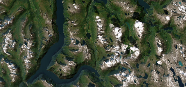 14 mi31 min
Geiranger Eagle Road
Eleven hairpins above one of the world’s great fjords.
-
2
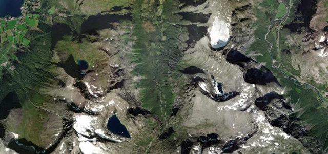 32 mi1 h 15 min
Trollstigen
Norway’s Troll’s Ladder of eleven dramatic hairpins.
-
3
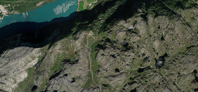 3 mi7 min
Lysevegen
A wall of hairpins climbing from the head of the Lysefjord.
-
4
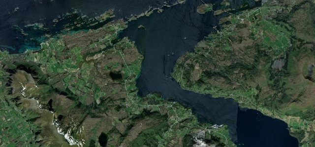 7 mi13 min
Atlantic Ocean Road
A causeway of bridges leaping between Atlantic skerries.
-
5
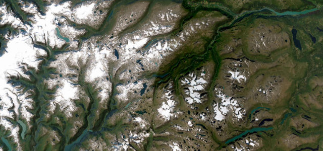 1,431 msummit
Sognefjellet
The highest mountain-pass road in Northern Europe.
The roads
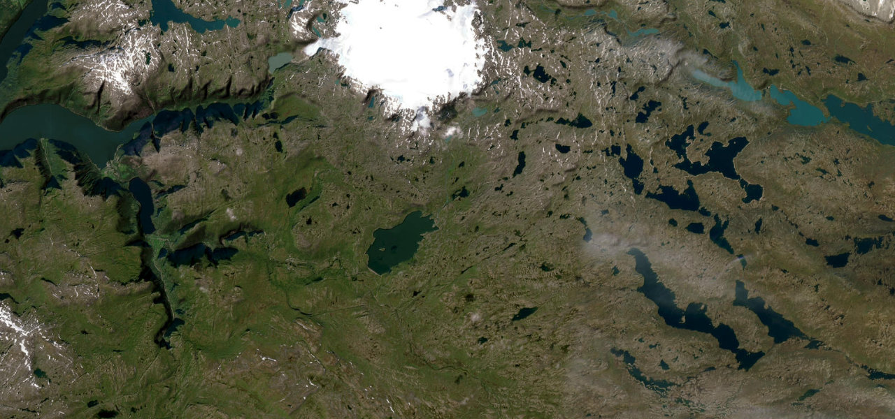 Hardangervidda Tourist Route42 mi · 1 h 24 min · 1,251.2 m summitView the roadbook ›
Geiranger Eagle Road
Trollstigen
Atlantic Ocean Road
Lysevegen
Sognefjellet
Jæren
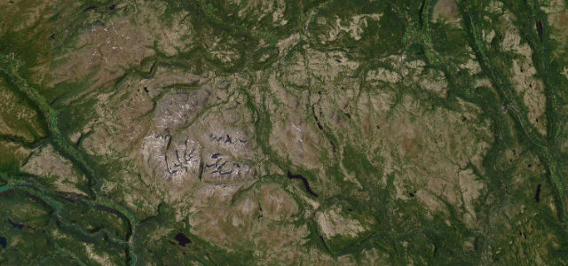
Rondane
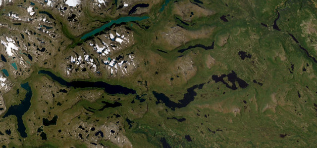
Valdresflye
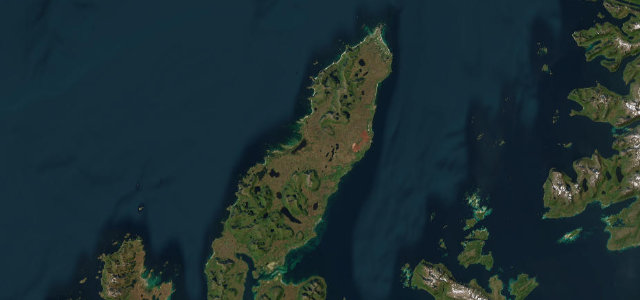
Andøya
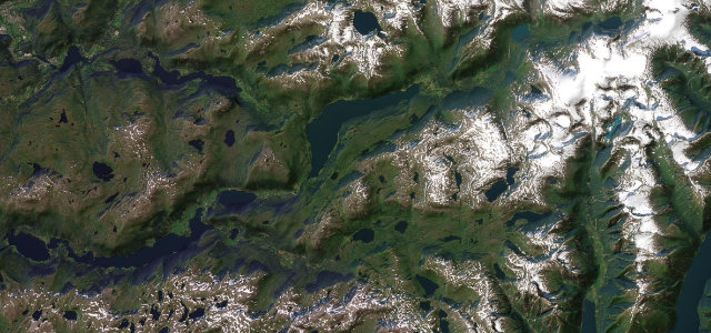
Gaularfjellet
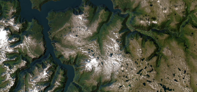
Aurlandsfjellet Snow Road
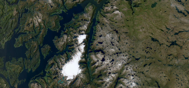
Hardanger Sørfjord
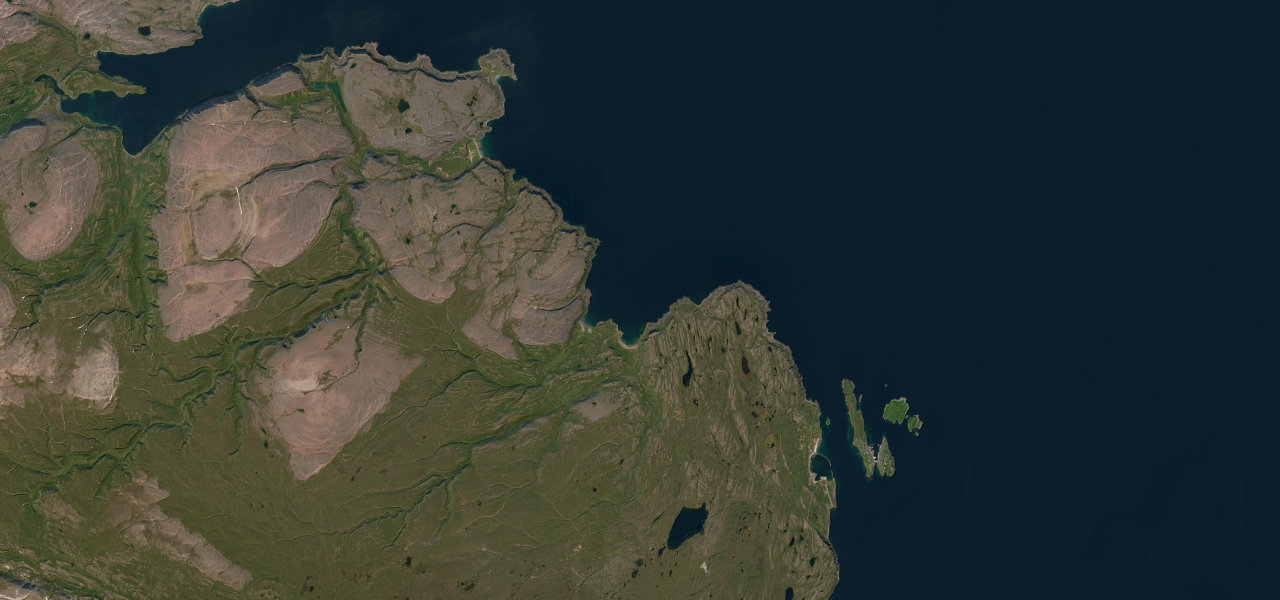
Hamningberg Road
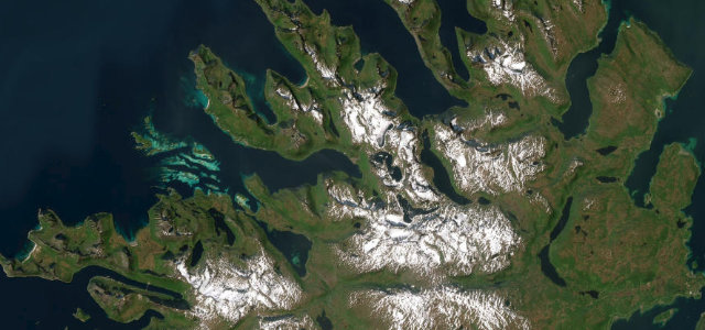
Senja
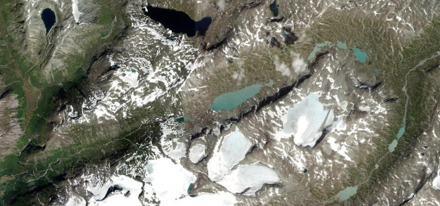
Gamle Strynefjellsvegen
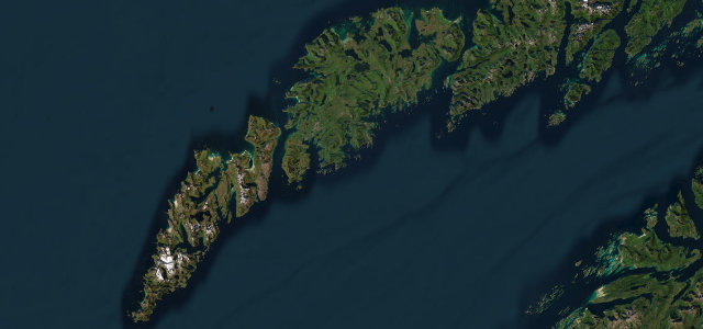
Lofoten
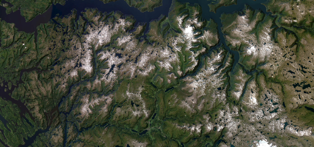
Vikafjellsvegen
Collections featuring Norway
Guides for this region
Nearby countries

 Sweden
 Faroe Islands
 Finland
Driving in Norway: common questions
What is the best driving road in Norway?
Hardangervidda Tourist Route is the place to start. Rv7 traverses the vast Hardangervidda plateau past Vøringsfossen waterfall and the Måbødalen canyon, linking Hardangerfjord to the high mountain interior.
How many great driving roads does Norway have?
18 hand-picked and fact-checked roads, including 5 world icons, 618 miles of driving in all, every one mapped from real road geometry.
When is the best time to drive in Norway?
Most of the roads here are at their best in summer and autumn. Several of the higher routes close over winter, so check the season before a cold-weather trip.