Nordland · Norway
Lofoten
E 10Svolvær to Å i Lofoten
Island-hopping coastal highway through Lofoten’s jagged peaks from Svolvaer to road’s end at A.
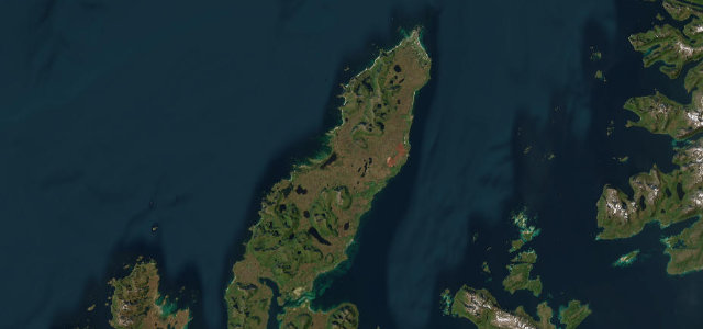
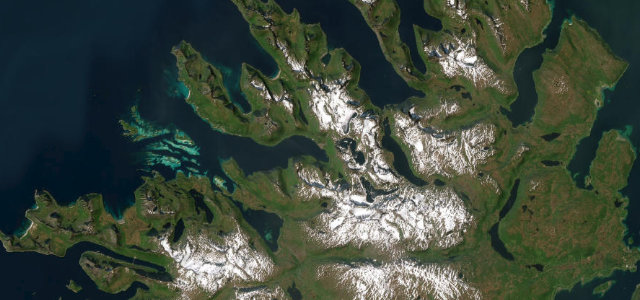
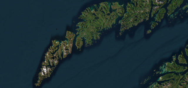
The E10 threads roughly 130 km across the Lofoten archipelago, linking islands by bridge and tunnel from the hub town of Svolvaer to the tiny fishing village of A at the southwest tip. It is widely cited as one of Europe’s most scenic coastal drives, running past Hamnoy and Reine (with short detours to Henningsvaer and Nusfjord) where sharp granite spires rise straight from turquoise water. The road is mostly easy and fairly flat but narrows and gets busy in summer, and stretches sit above the Arctic Circle under midnight sun. Mind tour-bus traffic and cyclists in the narrow sections, sudden coastal weather, and reindeer or sheep on the carriageway.
Scenery
Best seasons
In these collections
Where it runs81.6 mi · point to point
Navigate to the start: Apple Maps · Google Maps
Character
Corners
busiest around mile 80Elevation
under 4%4–8%over 8%-0.7 – 137.3 mFrom the road
Points of interest3 stops
- RørvikskaretViewpoint8.4 mi in
- SkagsandenViewpoint59 mi in
- TindLandmark81 mi in
Hazards
- Heavy summer tourist and bus traffic
- Sudden Arctic coastal weather
- Reindeer and sheep on road
- Cyclists in the narrow sections
Sources
“The road provides stunning coastal views: a memory for a lifetime.”
Verified route: mapped from real road geometry and fact-checked by a human editor. How roads get checked
Driving the Lofoten: quick answers
How long does it take to drive the Lofoten?
How difficult is the Lofoten to drive?
When is the best time to drive the Lofoten?
Nearby roads
The closest great drives to Lofoten.