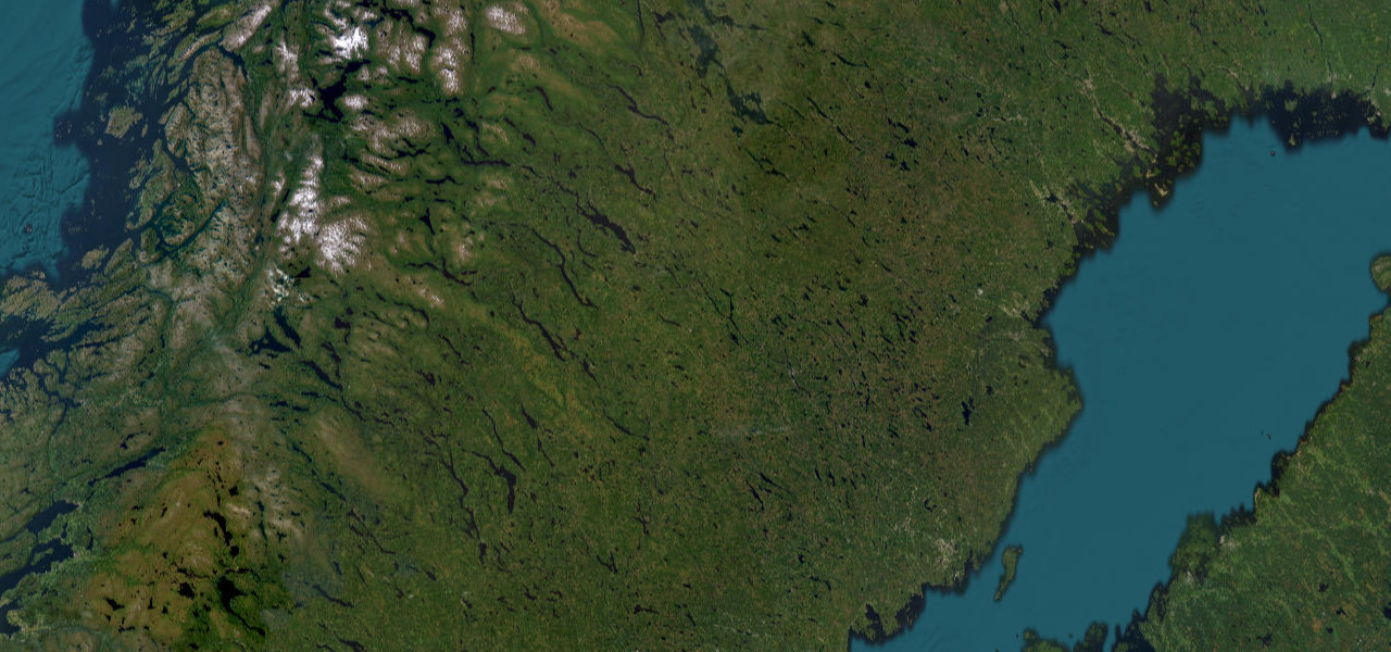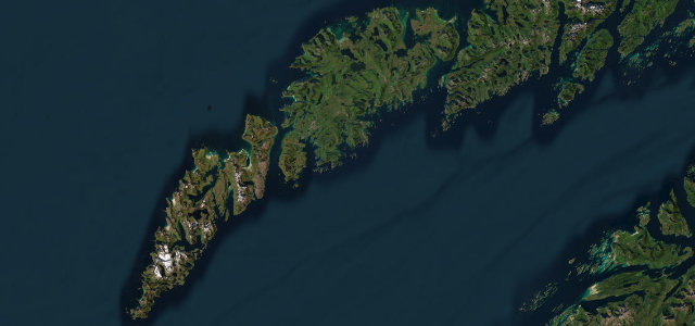
Jämtland / Västerbotten · Sweden
Vildmarksvägen (Wilderness Road)
342AC 1067Strömsund to Vilhelmina
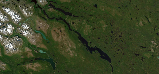
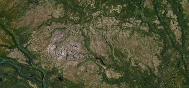
Sweden’s highest paved through-route over the bare Stekenjokk plateau.
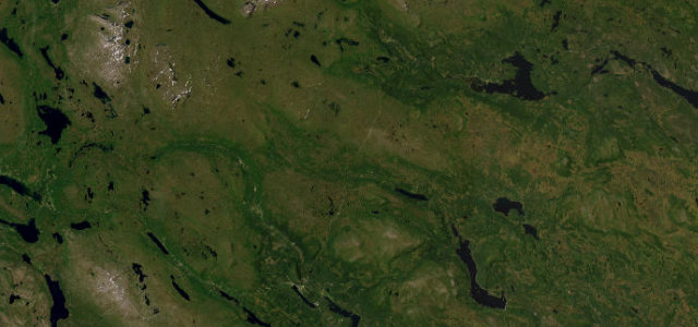
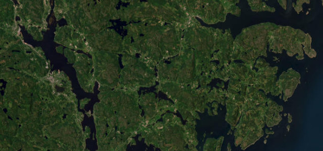
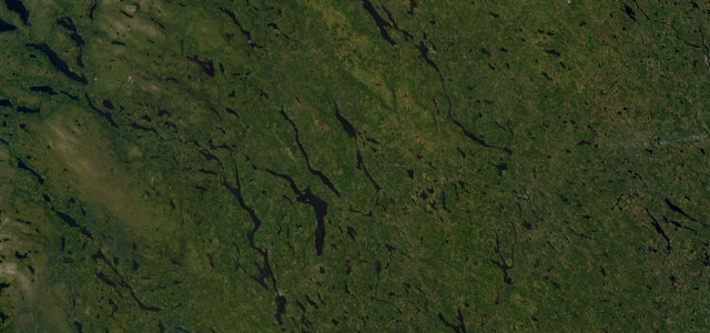
Vildmarksvagen, the Wilderness Road, runs about 360 km from Stromsund in Jamtland via Gaddede and the open Stekenjokk plateau to Vilhelmina in Lapland. Crossing Stekenjokk at around 876 m it is described as Sweden’s highest fully paved through-road, climbing above the tree line into reindeer country with waterfalls and big-sky tundra. The high plateau section between Leipikvattnet and Klimpfjall is gated and only open roughly mid June to mid October because of deep snow. Mind the seasonal closure dates, reindeer on the open plateau, and long stretches with no fuel or services.
Scenery
Best seasons
In these collections
In these guides
Where it runs222.2 mi · point to point
Navigate to the start: Apple Maps · Google Maps
Character
Corners
busiest around mile 82Elevation
under 4%4–8%over 8%291.4 – 869.5 mFrom the road
Points of interest2 stops
- GaustafalletLandmark123 mi in
- TrappstegsforsenLandmark172 mi in
Hazards
- Seasonal gated closure over Stekenjokk
- Reindeer on the open plateau
- Long stretches with no fuel or services
Is Vildmarksvägen (Wilderness Road) open? Typical season and live summit weather ›
Sources
“Along the way, through areas with an exceptionally high bear density, you will find breathtaking natural spectacles, the culture of the Sami and, of course, get a taste of Northern Swedish hospitality through some of the most spectacular parts of northern Scandinavia.”
Verified route: mapped from real road geometry and fact-checked by a human editor. How roads get checked
Driving the Vildmarksvägen (Wilderness Road): quick answers
How long does it take to drive the Vildmarksvägen (Wilderness Road)?
How difficult is the Vildmarksvägen (Wilderness Road) to drive?
When is the best time to drive the Vildmarksvägen (Wilderness Road)?
Nearby roads
The closest great drives to Vildmarksvägen (Wilderness Road).