Innlandet · Norway
Rondane
Fv27Folldal to Stor-Elvdal
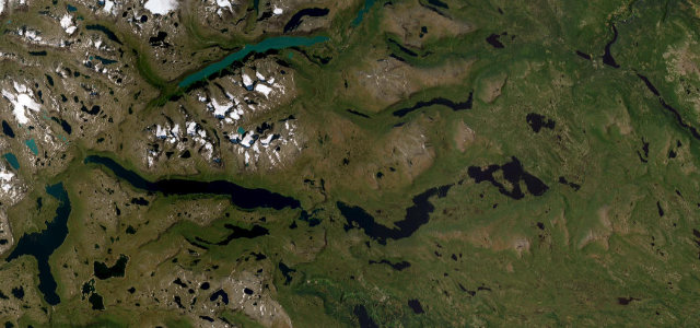
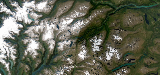
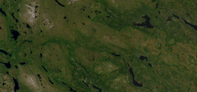
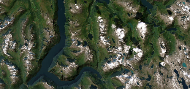
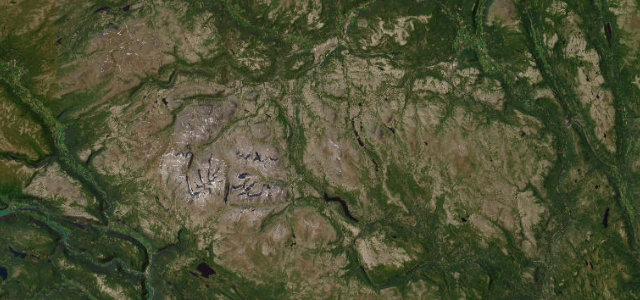
Fv27 runs through the Atndalen with the Rondane massif for company, past Lake Atnsjøen and the Sohlbergplassen viewpoint to a 1,054-metre high point near Muen. Alongside sits Norway’s oldest national park, protected since 1962.
A National Tourist Route on county road 27 running through the Atndalen valley between Folldal and the Sollia and Enden area in eastern Norway, framing the Rondane massif. The route passes Lake Atnsjoen and the Sohlbergplassen viewpoint, with the high point near Muen at about 1054 metres, alongside Norway’s oldest national park, established in 1962. Mind the exposed mountain weather, elk on the road and quiet unlit stretches.
Scenery
Best seasons
In these collections
In these guides
Where it runs51.2 mi · point to point
Navigate to the start: Apple Maps · Google Maps
Character
Corners
busiest around mile 30Elevation
under 4%4–8%over 8%198.9 – 1,065.8 mFrom the road
Points of interest3 stops
- StrømbuViewpoint17 mi in
- SohlbergplassenViewpoint22 mi in
- AtnfossenLandmark25 mi in
Hazards
- Exposed mountain weather
- Elk and reindeer
- Few services and unlit roads
Sources
“Like ancient slumbering giants, the mountains line the road that takes you alongside Rondane National Park.”
Verified route: mapped from real road geometry and fact-checked by a human editor. How roads get checked
Driving the Rondane: quick answers
How long does it take to drive the Rondane?
How difficult is the Rondane to drive?
When is the best time to drive the Rondane?
Nearby roads
The closest great drives to Rondane.