Innlandet · Norway
Valdresflye
51Beitostolen to Hindsæter
A National Tourist Route to 1389 m across an open plateau with grandstand views over the Jotunheimen peaks.
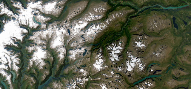
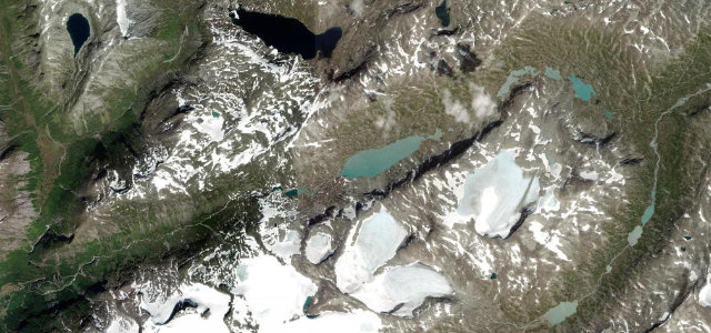
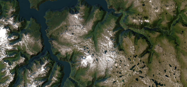
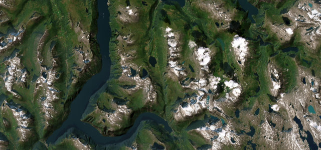
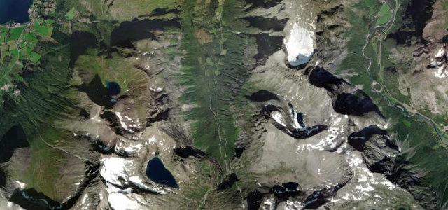
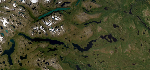
Fylkesvei 51 climbs over the Valdresflye plateau between Beitostolen and Hindsæter, a Norwegian National Tourist Route that tops out at 1389 m and runs for long stretches above the treeline. Up on the flye you get the sensation of hovering above the landscape, with a broad horizon of Jotunheimen’s high peaks and easy access to iconic hikes like the Besseggen ridge above Lake Gjende. It is a smooth, fairly open high-mountain road rather than a tight technical one, prized for the scale of its scenery. The road is open from roughly May to November. Mind the seasonal winter closure, exposed weather and wind on the open plateau, and reindeer or sheep on the carriageway.
Scenery
Best seasons
In these collections
In these guides
Where it runs28.3 mi · point to point
Navigate to the start: Apple Maps · Google Maps
Character
Corners
busiest around mile 5Elevation
under 4%4–8%over 8%876.8 – 1,389.4 mFrom the road
Points of interest3 stops
- ValdresflyeViewpoint9.7 mi in
- Bessheim FjellstueFood and drink20 mi in
- Bygdin HøyfjellshotellFood and drink5.2 mi in
Hazards
- Closed in winter; open roughly May to November
- Exposed weather and wind on the plateau
- Reindeer or sheep on the road
Is Valdresflye open? Typical season and live summit weather ›
Sources
“The road provides endless vistas as it hovers free and light above the mountain plateau, with excellent views towards the Jotunheimen National Park.”
Verified route: mapped from real road geometry and fact-checked by a human editor. How roads get checked
Driving the Valdresflye: quick answers
How long does it take to drive the Valdresflye?
How difficult is the Valdresflye to drive?
When is the best time to drive the Valdresflye?
Nearby roads
The closest great drives to Valdresflye.