Vestland · Norway
Aurlandsfjellet Snow Road
Fv243243Aurlandsvangen to Lærdalsøyri
A high, lunar mountain crossing past the Stegastein lookout.
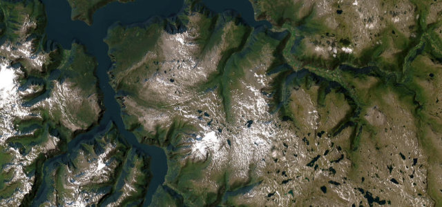
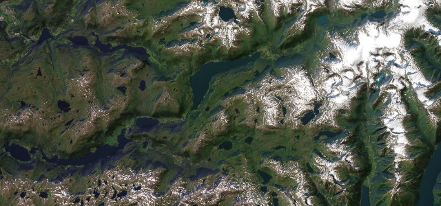
The Aurlandsfjellet 'Snow Road' (Fv243) climbs from Aurland over a bare, lunar plateau at 1,300 m to Lærdal, passing the cantilevered Stegastein viewpoint high above the Aurlandsfjord. Open only in summer; carry warm clothes, watch for fog and reindeer, and check it’s clear before you set off.
Scenery
MountainCoast
Best seasons
SummerAutumn
In these collections
In these Grand Tours
In these guides
Where it runs29.7 mi · point to point
AurlandsvangenStart · Vestland
LærdalsøyriEnd · Vestland
Navigate to the start: Apple Maps · Google Maps
Character
Corners34bends
Tightness6of 10
Max gradient9%≈ 1-in-11
Hairpins14tight bends
Climb1,497 mtotal ascent
Summit1,309.3 mhighest point of the line · 4,296 ft
Corners
busiest around mile 27Elevation
under 4%4–8%over 8%2.2 – 1,309.3 mFrom the road
Points of interest3 stops
- ÅsViewpoint2.9 mi in
- StegasteinViewpoint4.9 mi in
- Gamle LærdalsøyriLandmark30 mi in
Hazards
- Fog and reindeer on the plateau
- Open only in summer
- Exposed at altitude
See the typical season and live conditions for the high passes ›
Sources
“The contrasts are compelling between the fiord and the high mountain where there is snow on the ground most of the year.”
Verified route: mapped from real road geometry and fact-checked by a human editor. How roads get checked
Driving the Aurlandsfjellet Snow Road: quick answers
How long does it take to drive the Aurlandsfjellet Snow Road?
Aurlandsfjellet Snow Road runs 29.7 miles (48 km) and takes about 1 h 2 min to drive without stops.
How difficult is the Aurlandsfjellet Snow Road to drive?
We rate it demanding: 34 corners including 14 hairpins, a maximum gradient of 9%, and a tightness of 6 out of 10.
When is the best time to drive the Aurlandsfjellet Snow Road?
Summer and Autumn are best.
Nearby roads
The closest great drives to Aurlandsfjellet Snow Road.
Aurlandsfjellet Snow Road
DirectionsGet the app