Grand Tour
The Great Roads of Norway
Five days south from the Atlantic Road to the fjord at Flåm, over Trollstigen, the Eagle Road and the highest pass in Norway.
This is the classic Norwegian shape: begin on the Atlantic Road north of Molde, where the bridges vault from skerry to skerry, and work south through Romsdal and the fjord country to finish at Flåm, deep in the Sognefjord. Five days take in Trollstigen’s hairpin wall, the Eagle Road’s descent into Geiranger, eleven miles of hand-built gravel over Strynefjellet, the great crossing of Sognefjellet, and a last bare run over Aurlandsfjellet.
Ferries stitch the days together, brief, frequent and part of the pleasure, so build in time for them and for the queues behind motorhomes in July. Be realistic about the season too: every high road here closes for winter, most open in late May or June, and fresh snow can shut any of them overnight. Distances look short on the map and never are.
The Atlantic Road
Overnight: MoldeStart in Kristiansund, take the undersea tunnel to Averøy and cross the Atlantic Road’s eight bridges as they skip between the skerries, Storseisundet rearing in the middle. The whole thing is over in twenty minutes, so drive it twice if the sea is up, then follow route 64 down the coast to Molde.
Trollstigen and the Eagle Road
Overnight: GeirangerFerry across Langfjorden and skirt round to Åndalsnes, then climb Trollstigen’s eleven hairpins up the valley wall and continue south through Valldalen to the short Linge ferry. From Eidsdal the Eagle Road carries you over the shoulder and unwinds down to Geiranger with the fjord in view the whole way.
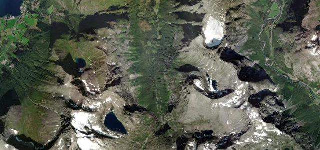
The old Strynefjell road
Overnight: StrynClimb out of Geiranger past Flydalsjuvet to meet route 15 near Grotli, then turn off for the old Strynefjell road: well-kept gravel between dry stone guard walls and snow poles, finished in 1894 and kept much as it was. Drop past Videfossen to the green water at Hjelle and run on into Stryn for the night.
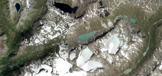
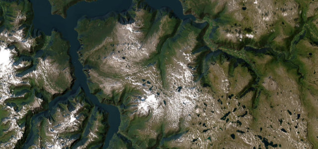
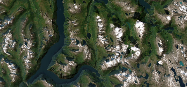
Sognefjellet
Overnight: SogndalThe morning is the necessary link: route 15 east through the Strynefjell tunnels and down Ottadalen to Lom and its stave church. Sognefjellet fills the afternoon, fifty-one miles up Bøverdalen and over the bare top at 1,434 metres with glaciers in sight, then down the Turtagrø hairpins to Skjolden and along Lustrafjorden to Sogndal.
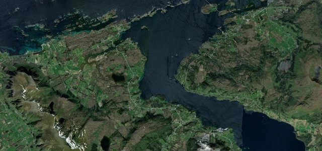
The Snow Road to Flåm
Overnight: FlåmThe short Mannheller to Fodnes ferry crosses the Sognefjord and puts you in Lærdal for the finale: the Snow Road over Aurlandsfjellet, bare rock and old drifts even in high summer, with the world’s longest road tunnel underneath as the bad-weather way round. Stop at the Stegastein platform on the descent, then follow the fjord the last few miles from Aurland to Flåm.