Møre og Romsdal · Norway
Geiranger Eagle Road
Fv6363Geiranger to Eidsdal
Eleven hairpins above one of the world’s great fjords.
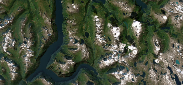
The Ørnevegen, 'Eagle Road', climbs eleven tight hairpins out of Geiranger to the Ørnesvingen lookout, with the UNESCO-listed Geirangerfjord and the Seven Sisters falls dropping away below. Spectacular and busy in season; mind the coaches on the bends, the cyclists, and the sheer drops.
Eleven hairpins stacked up the mountainside like a folded ribbon, and every one of them hands you a fresh view of the fjord.
Why we picked it
Scenery
CoastMountain
Best seasons
SummerAutumn
In these collections
In these Grand Tours
In these guides
Where it runs14.0 mi · point to point
GeirangerStart · Møre og Romsdal
EidsdalEnd · Møre og Romsdal
Navigate to the start: Apple Maps · Google Maps
Character
Corners28bends
Tightness7of 10
Max gradient10%≈ 1-in-10
Hairpins13tight bends
Climb632 mtotal ascent
Summit626.3 mhighest point of the line · 2,055 ft
Corners
busiest around mile 2Elevation
under 4%4–8%over 8%4.1 – 626.3 mFrom the road
Points of interest3 stops
- VesteråsfjelletViewpointat the start
- ØrnesvingenViewpoint4.4 mi in
- KorsmyraViewpoint5.4 mi in
Hazards
- Coaches on tight hairpins
- Sheer fjord drops
- Heavy summer traffic
- Cyclists on the hairpins
Sources
“the eleven hairpin bends that ascend the steep, verdant hillside from Geiranger”
Verified route: mapped from real road geometry and fact-checked by a human editor. How roads get checked
Driving the Geiranger Eagle Road: quick answers
How long does it take to drive the Geiranger Eagle Road?
Geiranger Eagle Road runs 14.0 miles (23 km) and takes about 31 min to drive without stops.
How difficult is the Geiranger Eagle Road to drive?
We rate it demanding: 28 corners including 13 hairpins, a maximum gradient of 10%, and a tightness of 7 out of 10.
When is the best time to drive the Geiranger Eagle Road?
Summer and Autumn are best.
Nearby roads
The closest great drives to Geiranger Eagle Road.
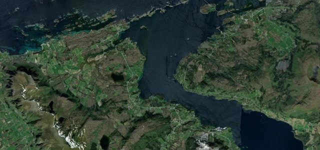
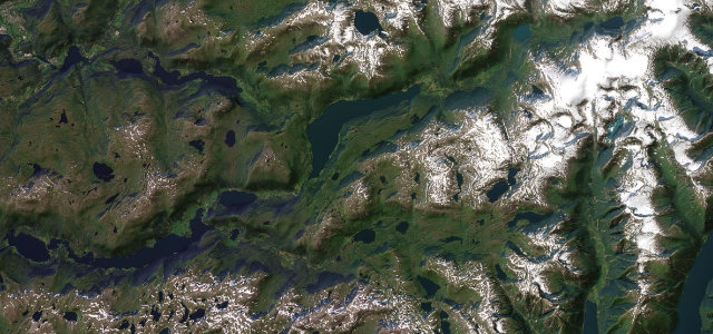
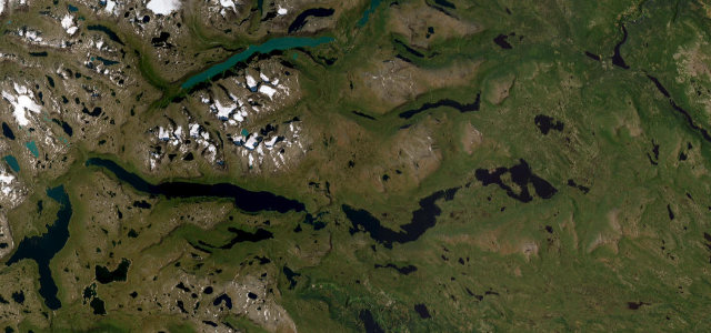
Geiranger Eagle Road
DirectionsGet the app