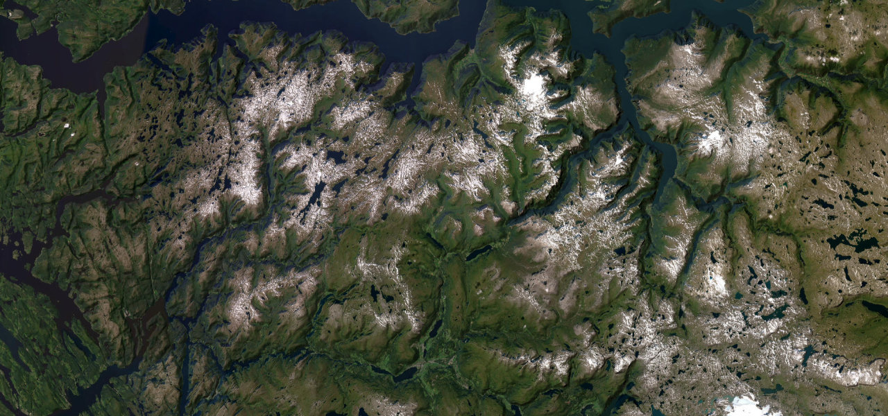
Vestland · Norway
Gaularfjellet
Fv613Sogndal to Sunnfjord
A National Tourist Route between the Sognefjord and Sunnfjord, snaking up the hillside in a stack of hairpins to the Utsikten viewpoint at roughly 700 metres. From the top you look straight back down at the bends you’ve just driven, which is our kind of reward.
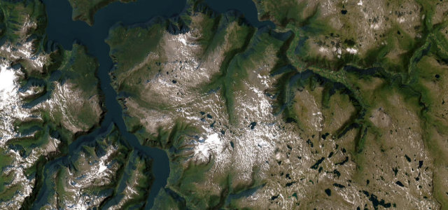
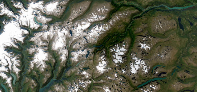
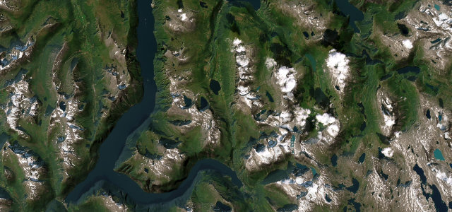
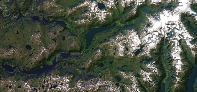
A National Tourist Route over the Gaularfjellet mountain between Balestrand on the Sognefjord and Moskog in Sunnfjord, western Norway, with the scenic climb carried on Fv613. The road snakes up a steep hillside in a series of hairpin bends below the Utsikten viewpoint, which opened in 2016 and sits roughly 700 metres above sea level, overlooking the valley and the bends below. Mind the winter closure between Mel and Mjell and the narrow descending hairpins.
Scenery
Best seasons
In these collections
In these guides
Where it runs42.0 mi · point to point
Navigate to the start: Apple Maps · Google Maps
Character
Corners
busiest around mile 5Elevation
under 4%4–8%over 8%6.2 – 745.2 mFrom the road
Points of interest3 stops
- UtsiktenViewpoint7.9 mi in
- FøllingsfossenLandmark23 mi in
- VallestadfossenLandmark28 mi in
Hazards
- Tight descending hairpins
- Mel to Mjell winter closure
- Narrow single-lane sections
Is Gaularfjellet open? Typical season and live summit weather ›
Sources
“The drive is exciting and varied, along narrow fjords, on a road up steep mountainsides, over high mountains, and beautiful valleys.”
Verified route: mapped from real road geometry and fact-checked by a human editor. How roads get checked
Driving the Gaularfjellet: quick answers
How long does it take to drive the Gaularfjellet?
How difficult is the Gaularfjellet to drive?
When is the best time to drive the Gaularfjellet?
Nearby roads
The closest great drives to Gaularfjellet.