Vestland · Norway
Vikafjellsvegen
Rv1313Vik (Sognefjord) to Vossevangen (Voss)
A three-world journey from the Sognefjord shore to an alpine plateau and down into deep Voss valleys, via dramatic hairpin bends.
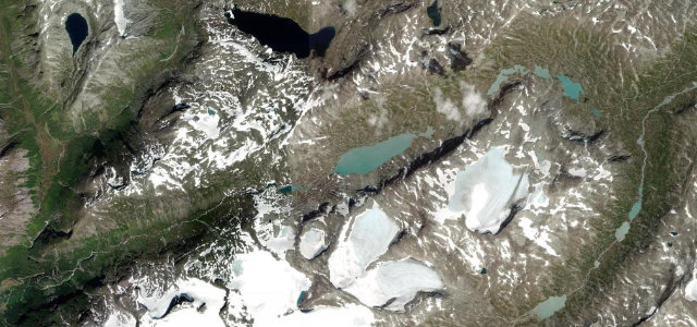
Rv13 climbs from the Sognefjord at Vik through a series of hairpin bends at Holesvingane onto a high mountain plateau dotted with icy lakes before descending through the steep Myrkdalen valley toward Voss. The route passes the Sendefossen waterfall mid-climb and the celebrated Tvindefossen waterfall near the Voss end, giving drivers one of western Norway’s most varied mountain-to-fjord experiences. Despite its dramatic scenery the road is fully paved and navigable by motorhomes in summer, though winter conditions require caution.
Scenery
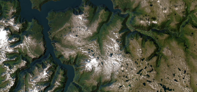
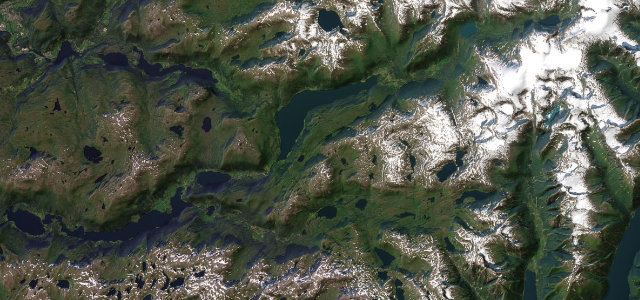
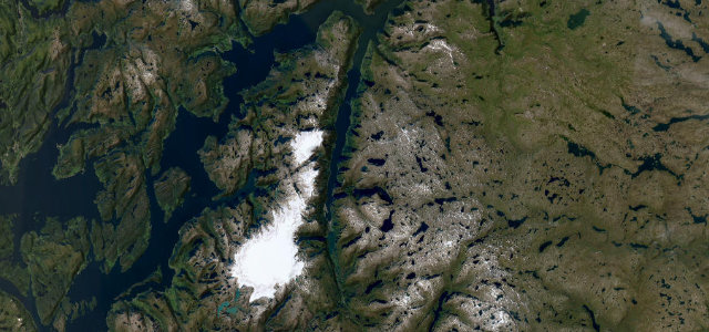
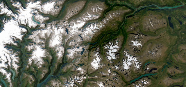
Where it runs
Navigate to the start: Apple Maps · Google Maps
Character
Elevation
under 4%4–8%over 8%6 – 1,012 mHazards
- tight hairpin bends at Holesvingane
- snow and ice on high plateau (spring/autumn)
- limited overtaking room on narrow sections
- seasonal winter closures possible
See the typical season and live conditions for the high passes ›
Sources: Road geometry © OpenStreetMap contributors
Nearby roads
The closest great drives to Vikafjellsvegen.