Vestland / Numedal (Numedal–Hardanger border) · Norway
Hardangervidda Tourist Route
Rv77Eidfjord to Haugastøl
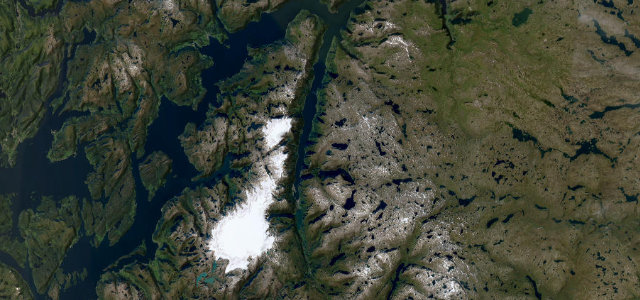
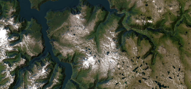
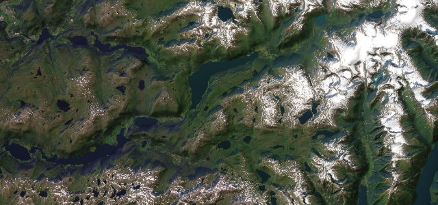
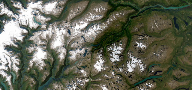
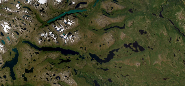
Rv7 traverses the vast Hardangervidda plateau past Vøringsfossen waterfall and the Måbødalen canyon, linking Hardangerfjord to the high mountain interior.
Leaving Eidfjord at fjord level, Rv7 climbs through the dramatic Måbødalen valley — past the Vøringsfossen waterfall with its long free-fall — onto the open Hardangervidda plateau, the largest mountain plateau in northern Europe, before rolling east toward Haugastøl ski country. The plateau section offers sweeping treeless views with reindeer herds and Hardangerjøkulen glacier on the horizon. The road is officially one of Norway’s 18 National Tourist Routes and remains open year-round, though convoy systems operate after heavy snowfall.
Scenery
Where it runs
Navigate to the start: Apple Maps · Google Maps
Character
Elevation
under 4%4–8%over 8%7 – 1,247 mHazards
- temporary winter closures and convoy requirements on plateau
- winter tires mandatory in season
- very limited services on the plateau between Eidfjord and Haugastøl
- rapidly changing mountain weather
See the typical season and live conditions for the high passes ›
Sources: Road geometry © OpenStreetMap contributors
Nearby roads
The closest great drives to Hardangervidda Tourist Route.