Innlandet · Norway
Sognefjellet
FV5555Lom to Gaupne
The highest mountain-pass road in Northern Europe.
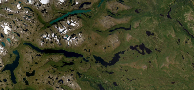
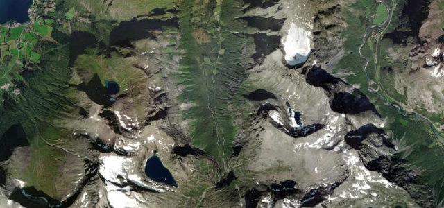
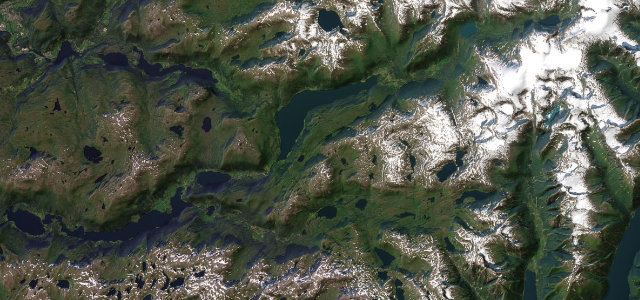
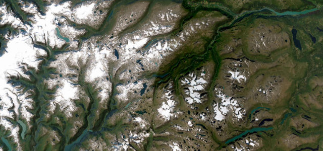
The Fv55 Sognefjellsvegen climbs to 1,434 m between Lom and Gaupne, the highest mountain pass road in Northern Europe, a stark, beautiful run past glaciers, snow-walls and the Jotunheimen peaks. Open only in the warmer months; mind the fast-changing weather, the cyclists, and snow at the top even in high summer.
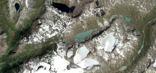
It threads the Home of the Giants between walls of summer snow, past glassy tarns and glacier-streaked peaks. Long, slow sweeps, and a silence that feels vast.
Why we picked it
Scenery
Best seasons
In these collections
In these Grand Tours
Where it runs66.3 mi · point to point
Navigate to the start: Apple Maps · Google Maps
Character
The highest road in Norway, by our count in the catalogue.
Corners
busiest around mile 46Elevation
under 4%4–8%over 8%2.2 – 1,431.1 mFrom the road
Points of interest3 stops
- LeirdalenViewpoint19 mi in
- FantesteinViewpoint30 mi in
- SognefjellshyttaFood and drink31 mi in
Hazards
- Closed in winter, snow even in summer
- Fast-changing mountain weather
- Cyclists on the climb
Is Sognefjellet open? Typical season and live summit weather ›
Sources
“a very scenic road straddling Vestland and Innlandet counties”
Verified route: mapped from real road geometry and fact-checked by a human editor. How roads get checked
Driving the Sognefjellet: quick answers
How long does it take to drive the Sognefjellet?
How difficult is the Sognefjellet to drive?
When is the best time to drive the Sognefjellet?
Nearby roads
The closest great drives to Sognefjellet.