Innlandet · Norway
Gamle Strynefjellsvegen
Fv258258Grotli to Videsæter
A narrow old summer road over the Strynefjell.
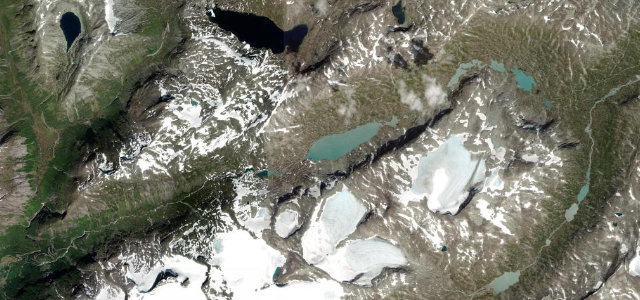
The Gamle Strynefjellsvegen is the old, narrow summer mountain road over the Strynefjell at 1,139 m, a stone-walled single-track past glacier lakes and waterfalls, open only a few months a year. Wild and atmospheric; mind the passing places, the snow walls early in the season, and the cyclists.
Scenery
MountainLakes
Best seasons
SummerAutumn
In these collections
In these Grand Tours
Where it runs16.7 mi · point to point
GrotliStart · Innlandet
VidesæterEnd · Innlandet
Navigate to the start: Apple Maps · Google Maps
Character
Corners36bends
Tightness7of 10
Max gradient9%≈ 1-in-11
Hairpins9tight bends
Descent683 mtotal descent
Summit1,139.5 mhighest point of the line · 3,739 ft
Corners
busiest around mile 14Elevation
under 4%4–8%over 8%463.4 – 1,139.5 mFrom the road
Points of interest2 stops
- VidefossenViewpoint16 mi in
- ØvstefossViewpoint17 mi in
Hazards
- Narrow single-track
- Snow walls early season
- Open only in summer
- Cyclists
Is Gamle Strynefjellsvegen open? Typical season and live summit weather ›
Sources
“Nature displays its contrasts along this stretch of road, with the rounded, glacier-scoured forms to the east and a steeper, more precipitous topography to the west.”
Verified route: mapped from real road geometry and fact-checked by a human editor. How roads get checked
Driving the Gamle Strynefjellsvegen: quick answers
How long does it take to drive the Gamle Strynefjellsvegen?
Gamle Strynefjellsvegen runs 16.7 miles (27 km) and takes about 37 min to drive without stops.
How difficult is the Gamle Strynefjellsvegen to drive?
We rate it demanding: 36 corners including 9 hairpins, a maximum gradient of 9%, and a tightness of 7 out of 10.
When is the best time to drive the Gamle Strynefjellsvegen?
Summer and Autumn are best.
Nearby roads
The closest great drives to Gamle Strynefjellsvegen.
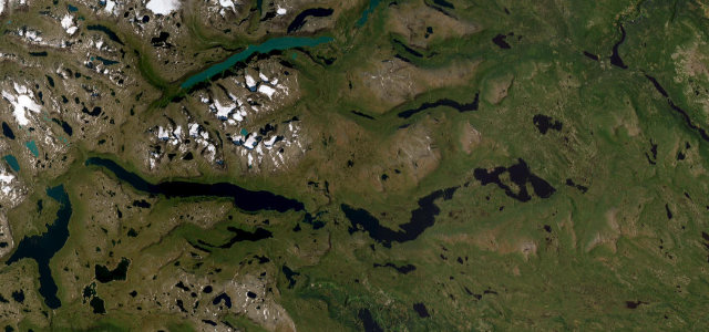
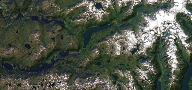
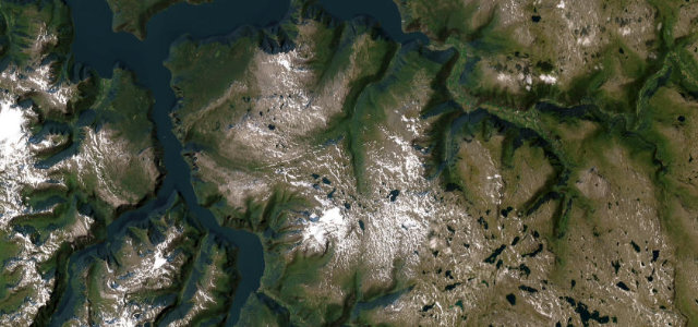
Gamle Strynefjellsvegen
DirectionsGet the app