Collection
Gravel Epics
The great unpaved adventures, where the surface is half the story
Roads124 world icons
Combined899 mi1,447 km of driving
Across12countries
High point4,535 m14,879 ft
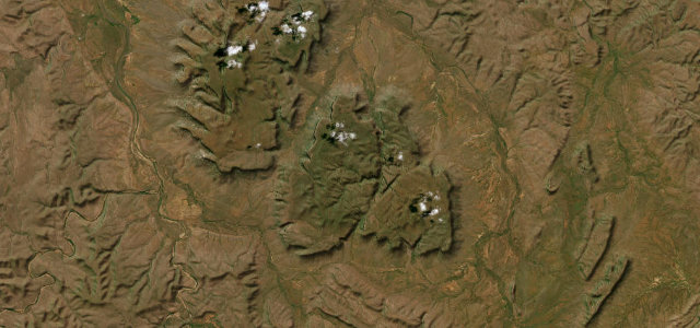
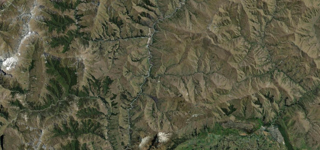
The roads
Dempster Highway
Sani Pass
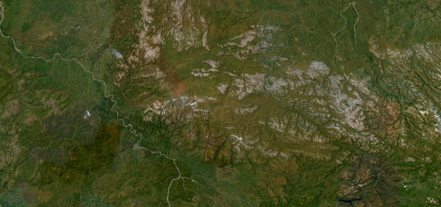
Abano Pass
Gibb River Road
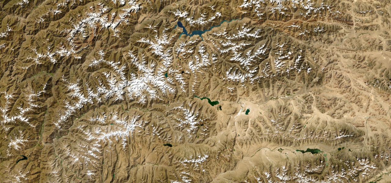
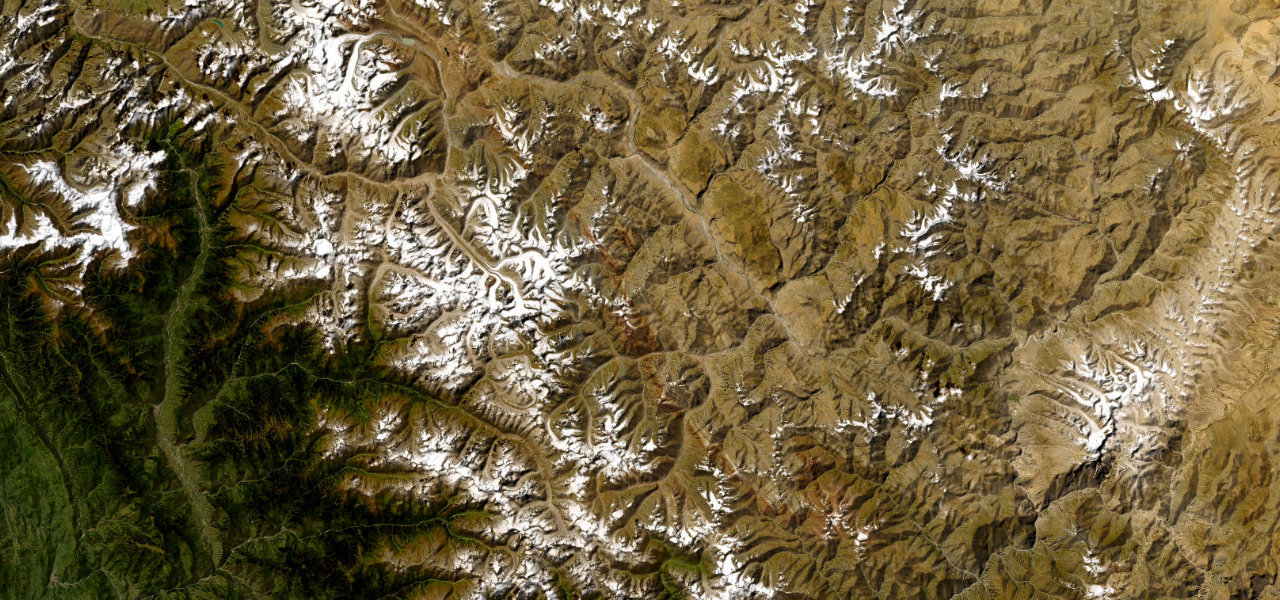
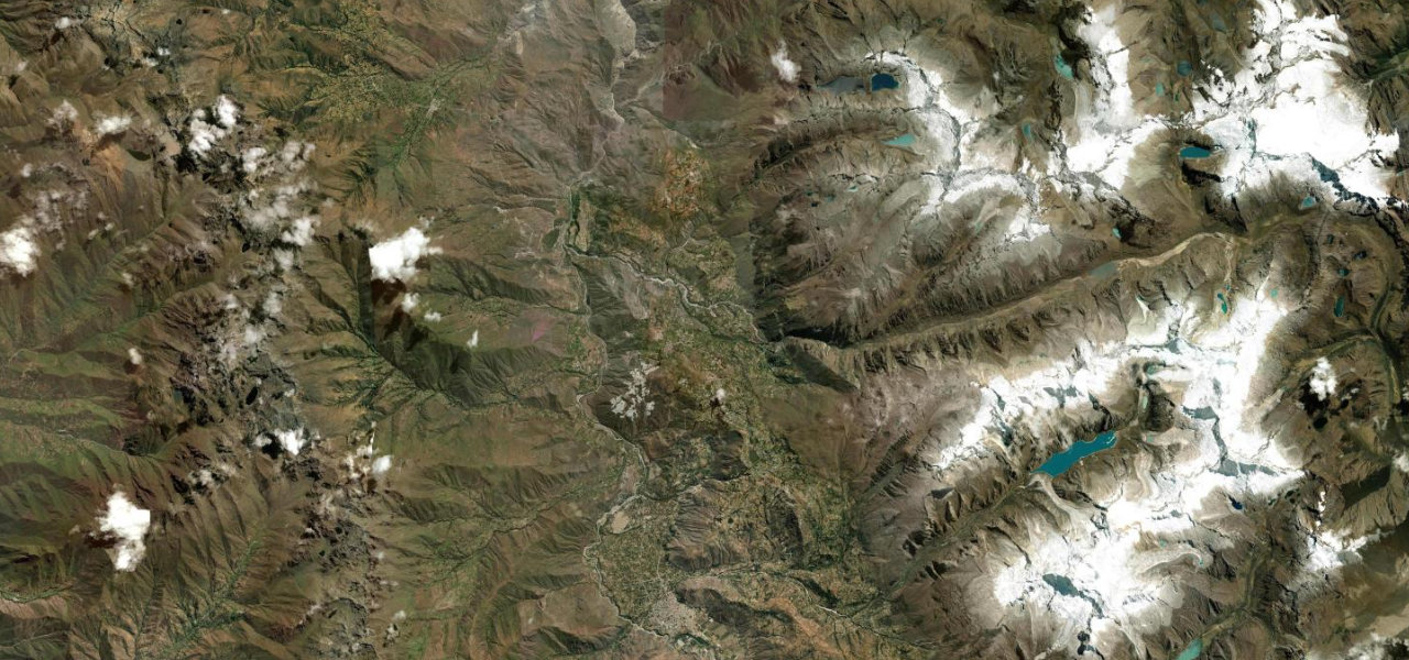
Pamir Highway
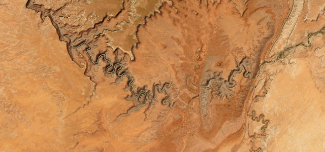
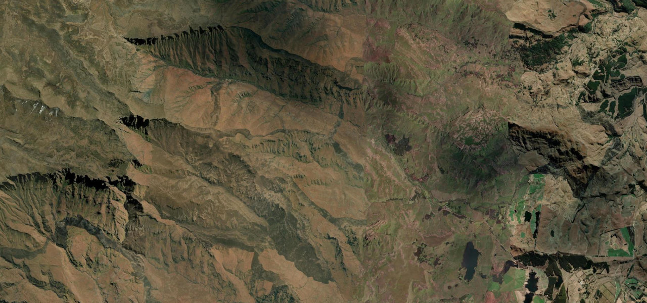
Moki Dugway
Skippers Canyon Road
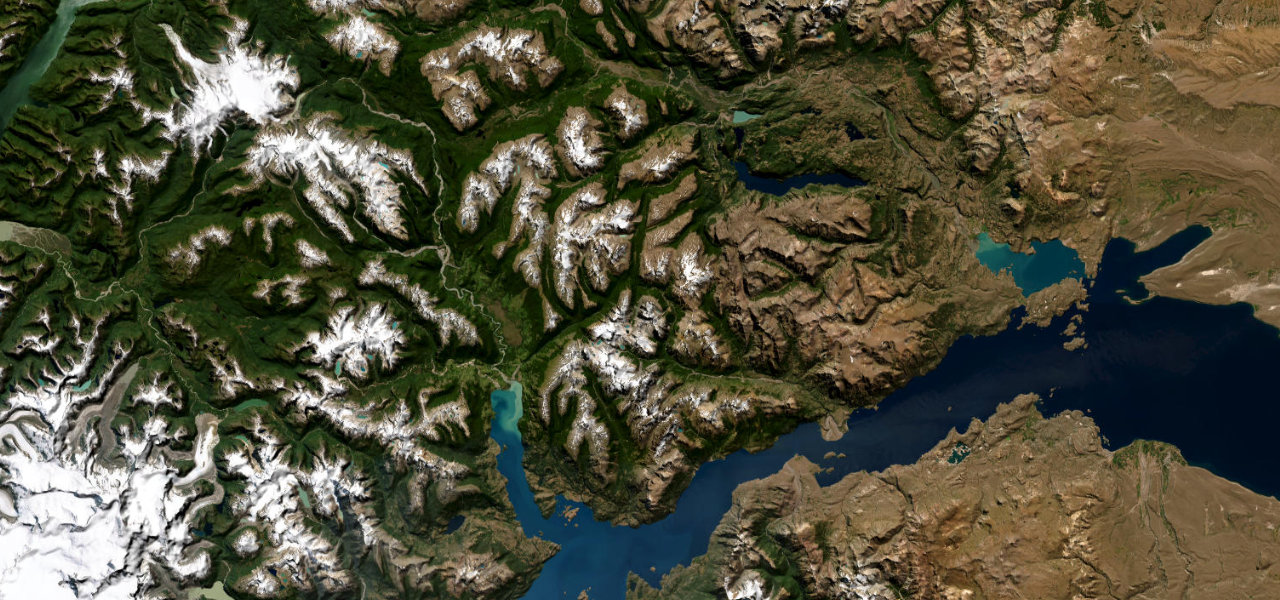
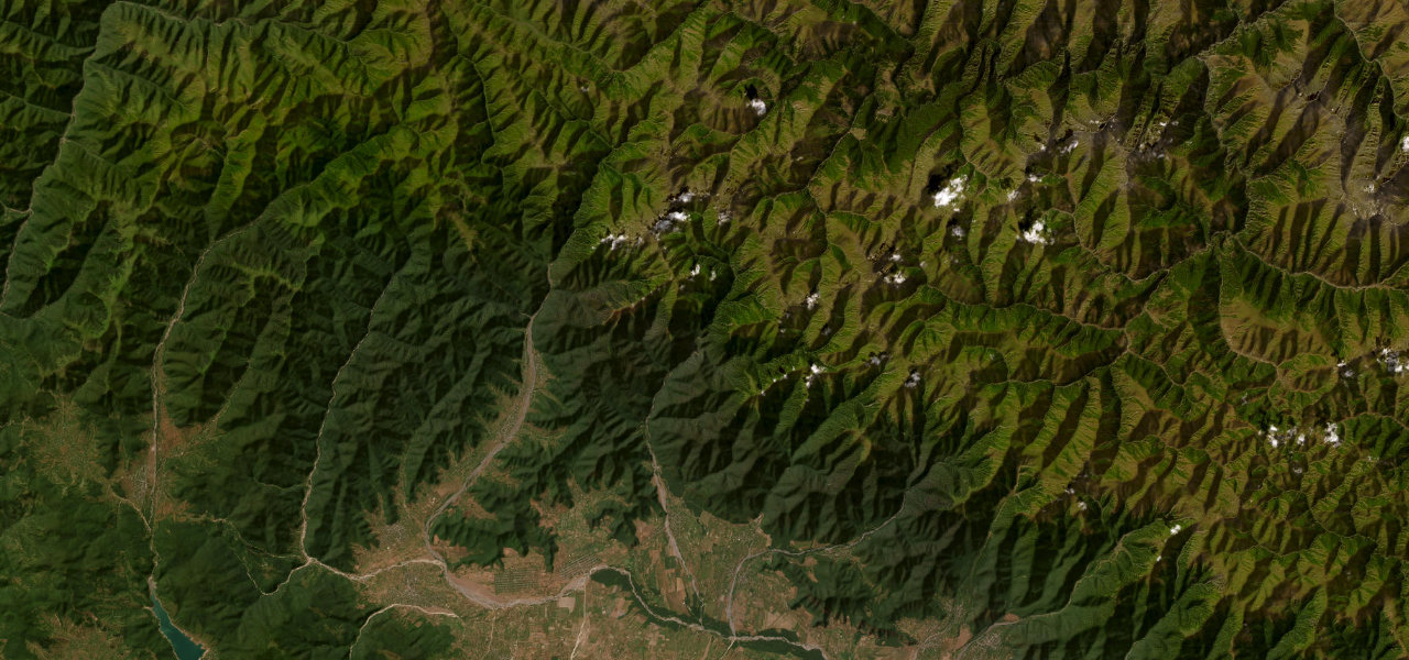
Carretera Austral
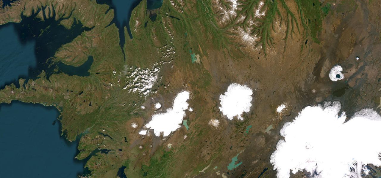
Kjölur Highland Route
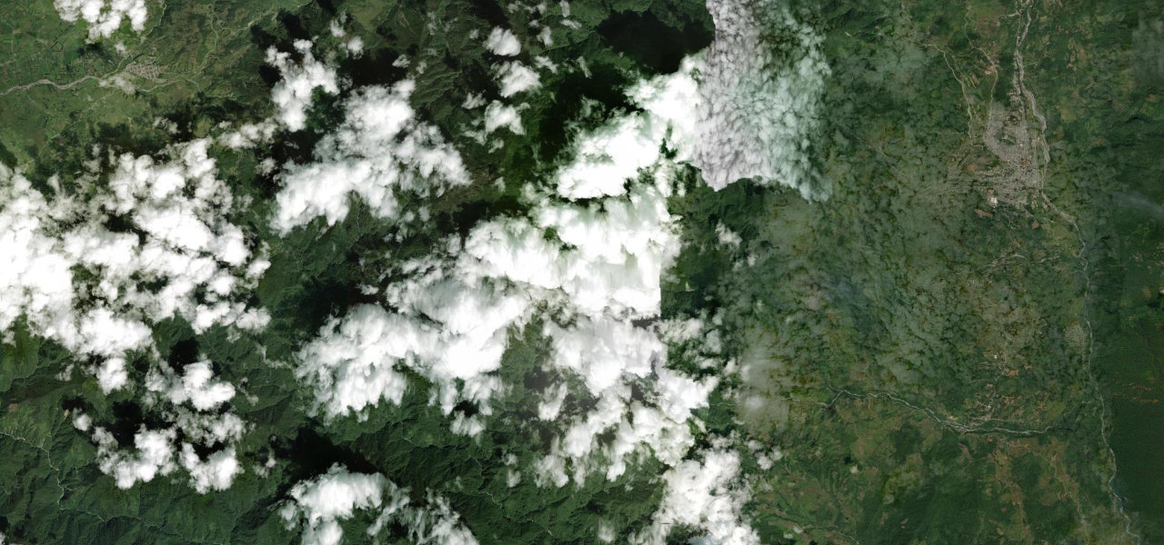
Trampolín de la Muerte
Cañón del Pato