Utah · United States
Moki Dugway
UT 261Mexican Hat to Cedar Mesa
A dramatic unpaved staircase of switchbacks up a desert cliff.
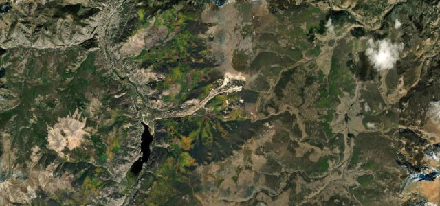
UT 261's Moki Dugway is a steep, unpaved set of switchbacks carved into the cliff above the Valley of the Gods, climbing from the desert floor to the Cedar Mesa rim and the overlook at Muley Point. Mind the gravel surface, the sheer unguarded edges, and the tight, slow hairpins; not for large vehicles.
Scenery
GorgeMountain
Best seasons
SpringSummerAutumn
In these collections
Where it runs18.0 mi · point to point
Mexican HatStart · Utah
Cedar MesaEnd · Utah
Navigate to the start: Apple Maps · Google Maps
Character
Corners18bends
Tightness8of 10
Max gradient11%≈ 1-in-9
Hairpins4tight bends
Climb758 mtotal ascent
Summit1,965.2 mhighest point of the line · 6,448 ft
Corners
busiest around mile 16Elevation
under 4%4–8%over 8%1,245.9 – 1,965.2 mPoints of interest2 stops
- Mexican Hat RockViewpoint6.7 mi in
- Muley Point OverlookViewpoint17 mi in
Hazards
- Steep unpaved gravel
- Sheer unguarded drops
- Not for large vehicles
- Tight slow hairpins
Sources
“Breathtaking views and a hint of danger make this road one of the most enthralling routes to travel in southern Utah.”
Verified route: mapped from real road geometry and fact-checked by a human editor. How roads get checked
Driving the Moki Dugway: quick answers
How long does it take to drive the Moki Dugway?
Moki Dugway runs 18.0 miles (29 km) and takes about 42 min to drive without stops.
How difficult is the Moki Dugway to drive?
We rate it demanding: 18 corners including 4 hairpins, a maximum gradient of 11%, and a tightness of 8 out of 10.
When is the best time to drive the Moki Dugway?
Spring and Summer and Autumn are best.
Is the Moki Dugway fully paved?
No, part of the route runs on gravel or unpaved surface. Steep unpaved gravel Sheer unguarded drops Not for large vehicles A dramatic unpaved staircase of switchbacks up a desert cliff.
Nearby roads
The closest great drives to Moki Dugway.
Moki Dugway
DirectionsGet the app