Utah · United States
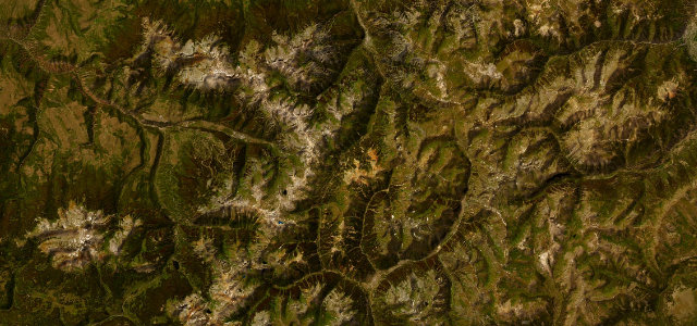
Burr Trail
Boulder to Capitol Reef boundary
Boulder red-rock backway through Long Canyon to the Burr switchbacks.
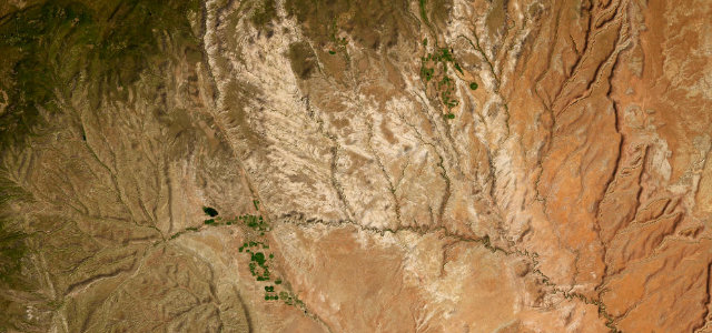
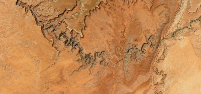
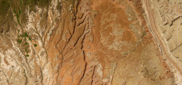
The Burr Trail runs east from the tiny town of Boulder through Long Canyon, where red sandstone walls rise close on either side before the country opens toward the Waterpocket Fold. The first stretch out of Boulder is paved and genuinely scenic, after which the famous Burr switchbacks drop steeply down the Fold on graded dirt. Conditions on the unpaved sections vary sharply with weather. Mind soft or washed-out dirt after rain, the steep tight Burr switchbacks themselves, and the absence of any services along the route.
Scenery
Best seasons
In these collections
In these guides
Where it runs33.0 mi · point to point
Navigate to the start: Apple Maps · Google Maps
Character
Corners
busiest around mile 10Elevation
under 4%4–8%over 8%1,685.4 – 2,086.8 mPoints of interest2 stops
- Long Canyon OverlookViewpoint17 mi in
- singing canyonLandmark12 mi in
Hazards
- Washed-out dirt after rain
- Steep tight switchbacks
- No services
Sources
“It affords extraordinary views of the Henry Mountains and lower Capital Reef country.”
Verified route: mapped from real road geometry and fact-checked by a human editor. How roads get checked
Driving the Burr Trail: quick answers
How long does it take to drive the Burr Trail?
How difficult is the Burr Trail to drive?
When is the best time to drive the Burr Trail?
Is the Burr Trail fully paved?
Nearby roads
The closest great drives to Burr Trail.