Utah · United States
Scenic Byway 12 Hogback
UT 12Escalante to Boulder
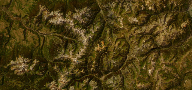
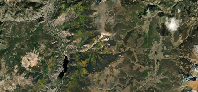
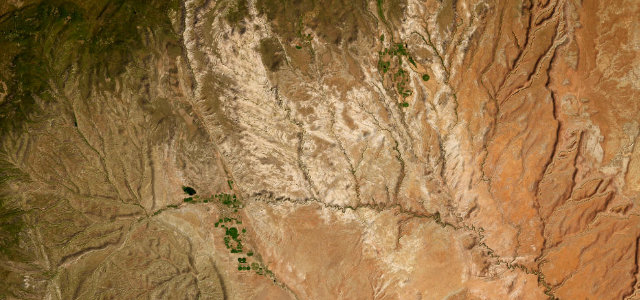
Escalante to Boulder across the Grand Staircase-Escalante National Monument, with the Hogback at its heart: a knife-edge of pavement with steep drop-offs and no guardrails on either side.
This section of Utah’s Scenic Byway 12, an All-American Road, runs from Escalante to Boulder across the Grand Staircase-Escalante National Monument. It includes 'The Hogback', a narrow ridge where the pavement follows a knife-edge with steep drop-offs and no guardrails on either side. Mind the sheer unprotected edges, sudden weather, and free-roaming livestock.
Where it runs27.8 mi · point to point
Navigate to the start: Apple Maps · Google Maps
Character
Corners
busiest around mile 11Elevation
under 4%4–8%over 8%1,585.5 – 2,068.1 mPoints of interest3 stops
- Head Of The Rocks OverlookViewpoint9.7 mi in
- Lookout EscalanteViewpoint13 mi in
- The HogbackViewpoint20 mi in
Hazards
- No-guardrail ridge drop-offs
- Open-range livestock
- Ice and snow at elevation
Sources
“Along the "Hogsback" between Escalante and Boulder, hairpin turns dare you on a road that drops off drastically from the shoulders down into deep canyons below.”
Verified route: mapped from real road geometry and fact-checked by a human editor. How roads get checked
Driving the Scenic Byway 12 Hogback: quick answers
How long does it take to drive the Scenic Byway 12 Hogback?
How difficult is the Scenic Byway 12 Hogback to drive?
When is the best time to drive the Scenic Byway 12 Hogback?
Nearby roads
The closest great drives to Scenic Byway 12 Hogback.