Utah / Arizona · United States
Monument Valley
US 163Mexican Hat to Kayenta
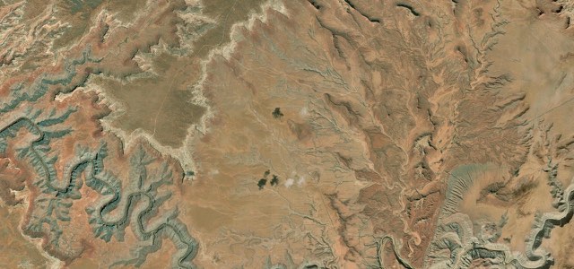
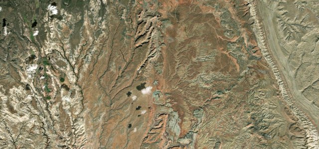
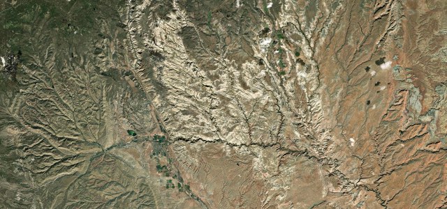
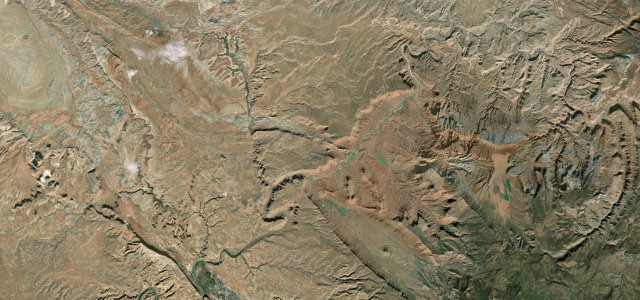
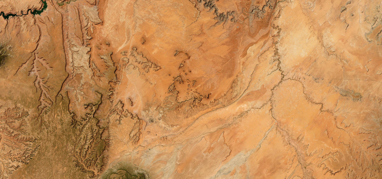
US 163 runs south-west from the San Juan River at Mexican Hat across open desert to the buttes of Monument Valley, past the Forrest Gump Point straight, and on into Arizona past Agathla Peak to Kayenta.
From Mexican Hat, the village named for a sombrero-shaped rock, US 163 crosses the San Juan River into the Navajo Nation and heads south-west across open desert. Near Utah mile marker 13 is the view nicknamed Forrest Gump Point, where the road runs straight at the buttes of Monument Valley and the title character of Forrest Gump ends his cross-country run. Just before the Arizona line a roundabout marks the turn for the Monument Valley Navajo Tribal Park visitor centre. In Arizona the road is the Kayenta-Monument Valley Scenic Road, a state byway, and it passes Agathla Peak, a volcanic plug rising over 1,500 feet, before ending at US 160 in Kayenta. Rider Magazine calls it a mix of wide-open straights and high-speed sweepers, with sand on the road in places and dogs and wildlife that can be unpredictable.
Scenery
Best seasons
Featured in
In these collections
In these Grand Tours
Monument Valley on the map44.7 mi · point to point
Navigate to the start: Apple Maps · Google Maps
Character
Corners
busiest around mile 1Elevation
under 4%4 to 8%over 8%1,247 to 1,746 mPoints of interest5 stops
- San Juan Inn restaurantRestaurant at the San Juan Inn, beside the US 163 bridge over the San Juan River.0.5 mi in
- Forrest Gump PointNear Utah mile marker 13, where Forrest Gump ends his run; use the roadside pull-offs, not the road.8.2 mi in
- Monument Valley Tribal Park turnRoundabout just inside Utah where the road to the Monument Valley Navajo Tribal Park visitor centre leaves US 163.21 mi in
- Agathla PeakEroded volcanic plug, also called El Capitan, rising over 1,500 feet about 7 miles north of Kayenta.36 mi in
- Burger King, KayentaJust off the end of the road on US 160, with a small exhibit on the Navajo Code Talkers of the Second World War.45 mi in
Hazards
- Sand on the road in places
- Dogs and wildlife on the road
- People taking photos in the road at Forrest Gump Point
Sources
“The road itself is a picturesque mix of wide-open straights and high-speed sweepers.”
“Stop at Forrest Gump Point on Hwy 163 between Monument Valley and Mexican Hat where Forrest ended his cross-country run in the movie.”
“From the Arizona border, Scenic Byway 163 travels northeast through Monument Valley past Mexican Hat and then ends in Bluff, Utah.”
Route traced from OpenStreetMap, with its stats measured from that line. How the roads are mapped
Driving the Monument Valley: quick answers
How long does it take to drive the Monument Valley?
How difficult is the Monument Valley to drive?
When is the best time to drive the Monument Valley?
Nearby roads
The closest great drives to Monument Valley.