Collection

As seen on screen

The roads made famous by Top Gear, James Bond, evo and more.

Roads169 world icons
Combined370 mi595 km of driving
Across6countries
High point2,757 m9,045 ft

The roads
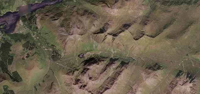
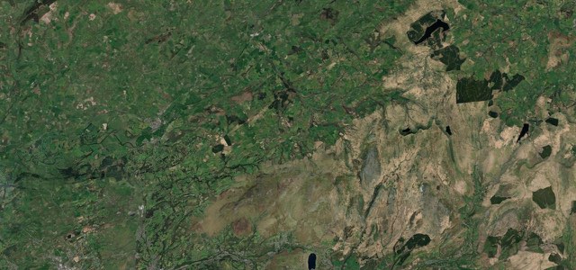
Satellite map of Glencoe, Scotland

Glencoe

A82Scotland

8 mi · 16 min · 20 corners

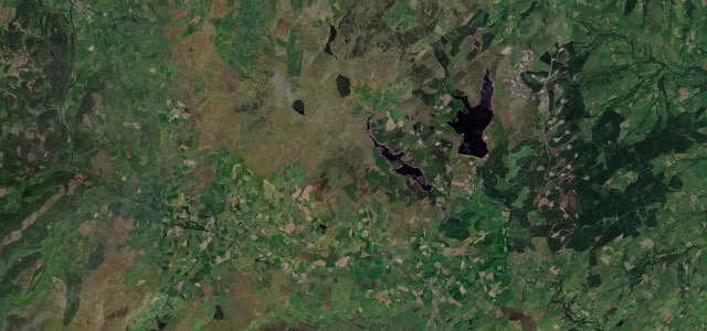
Satellite map of Black Mountain Pass, Wales

Black Mountain Pass

A4069Wales

12 mi · 27 min · 30 corners

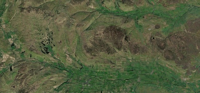
Satellite map of Evo Triangle, Wales

Evo Triangle

A543B4501Wales

21 mi · 42 min · 22 corners

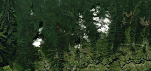
Satellite map of Buttertubs Pass, Northern England

Buttertubs Pass

Northern England

8 mi · 16 min · 528 m summit

Satellite map of Transfăgărășan, Romania

Transfăgărășan

DN7CRomania

11 mi · 26 min · 16 hairpins

Satellite map of Stelvio Pass, Italy

Stelvio Pass

SS38Italy

28 mi · 1 h 6 min · 75 hairpins

Satellite map of Monument Valley, The West

Monument Valley

US 163The West

45 mi · 1 h 22 min · 1,746 m summit

Satellite map of Grande Corniche, France

Grande Corniche

M2564D2564France

15 mi · 30 min · 543 m summit

Satellite map of The Triple Nickel, The East

The Triple Nickel

SR 555The East

62 mi · 2 h 17 min · 280 corners

Satellite map of Col de Turini, France

Col de Turini

D2566D70France

18 mi · 41 min · 23 hairpins

Satellite map of Furka Pass, Switzerland

Furka Pass

19Switzerland

11 mi · 24 min · 10 hairpins

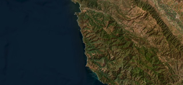
Satellite map of Pacific Coast Highway, Big Sur, The West

Pacific Coast Highway, Big Sur

CA 1SR 1The West

23 mi · 47 min · 42 corners

Satellite map of Great St Bernard Pass, Italy

Great St Bernard Pass

SS27Italy

15 mi · 32 min · 11 hairpins

Satellite map of Palms to Pines Scenic Byway, The West

Palms to Pines Scenic Byway

CA 74The West

33 mi · 1 h 6 min · 1,523 m summit

Satellite map of Going-to-the-Sun Road, The West

Going-to-the-Sun Road

The West

50 mi · 1 h 45 min · 2,027 m summit

Satellite map of Colle del Nivolet, Italy

Colle del Nivolet

SP50Italy

11 mi · 26 min · 28 hairpins

More collections

All 80 collections ›