Valais · Switzerland
Furka Pass
Also known as Furkapass
19Obergoms to Realp
A high Swiss pass of Bond-film fame above the Rhône glacier.
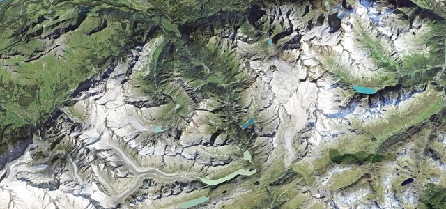
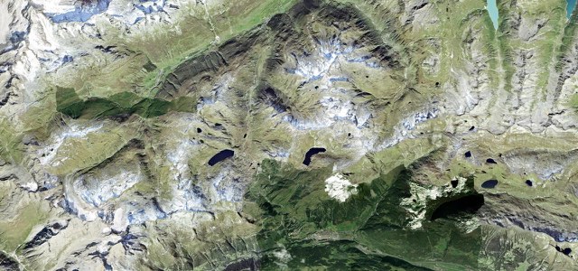
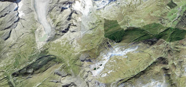
The Furka Pass at 2,429 m links Gletsch and Realp, a sweeping high Swiss road past the Rhône Glacier, famous from the James Bond film Goldfinger. Open hairpins and big views; mind the post buses, the gradient, and weather that turns quickly at altitude.
Bond drove it in Goldfinger, and the Rhône glacier still stops you in your tracks. Pure theatre.
Why we picked it
On the road
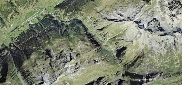
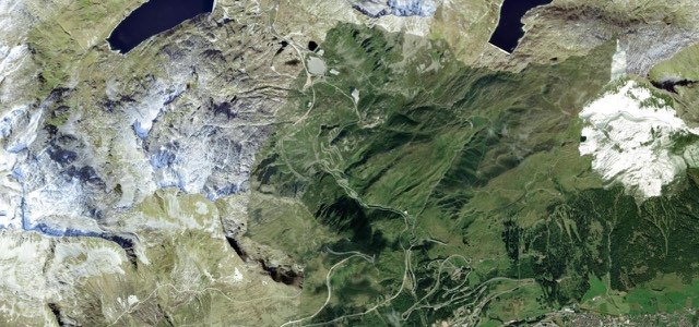
The road runs from Obergoms to Realp, climbing out of Gletsch on the Valais side. The hairpins come in three groups: above Gletsch, around the Hotel Belvédère, and above Realp. Gradients reach about 11%. The road is 4.5 to 6 m wide. It is broadest on the Valais side, where even coaches pass easily. The Uri side is tighter, so take care meeting oncoming traffic there.
The Hotel Belvédère sits right in a hairpin. It has been closed since 2015, but it is still a favourite photo stop. A short walk away is the Rhône Glacier ice grotto, a 100 m tunnel carved fresh into the ice every year. On the Uri side, a bend signed James Bond Strasse has a small car park and a lookout over Realp. Goldfinger was filmed on the pass in 1964.
The pass is usually open from June to October, depending on snow. Trailers and caravans are not allowed. If you are towing, or the pass is shut, take the car train through the Furka base tunnel between Oberwald and Realp.
Scenery
Best seasons
Featured in
In these collections
In these Grand Tours
In these guides
Furka Pass on the map10.8 mi · point to point
Navigate to the start: Apple Maps · Google Maps
Character
Corners
busiest around mile 6Elevation
under 4%4 to 8%over 8%1,787 to 2,445 mFrom the road
Points of interest2 stops
- FurkapassViewpoint5.1 mi in
- James Bond StrasseLandmark11 mi in
Hazards
- Postbuses on tight bends
- Altitude weather
- Closed in winter
Is Furka Pass open? Typical season and live summit weather ›
Sources
“built for drivers who love the challenge of tight turns linked by long straights”
Route traced from OpenStreetMap, with its stats measured from that line. How the roads are mapped
Routes for iPhone carries Furka Pass offline, with live weather and a 7 day forecast.
Nearby roads
The closest great drives to Furka Pass.