Bern · Switzerland
Grimsel Pass
6Innertkirchen to Obergoms
A granite-and-reservoir pass linking the Bernese and Valais Alps.
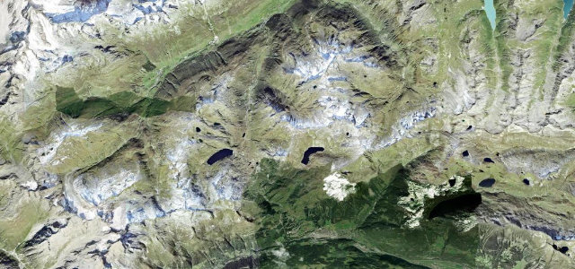
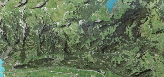
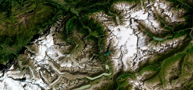
The Grimsel Pass at 2,164 m drops between Innertkirchen and Gletsch through a stark granite landscape strung with dam reservoirs. Wide, fast hairpins and dramatic scenery; mind the cyclists, the dam traffic, and quick changes in mountain weather.
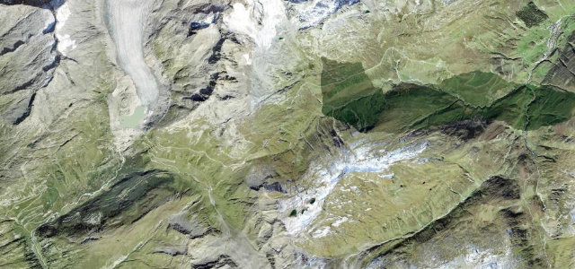
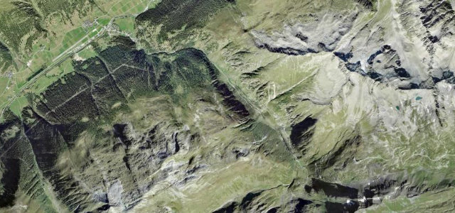
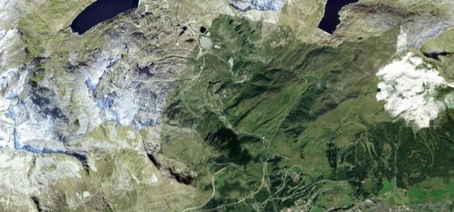
Granite is the whole story here: bare grey slabs and steel-blue reservoirs, a clean ladder of hairpins, and air so thin it’s just rock, water and sky.
Why we picked it
Scenery
Best seasons
In these collections
In these Grand Tours
Where it runs19.8 mi · point to point
Navigate to the start: Apple Maps · Google Maps
Character
Corners
busiest around mile 8Elevation
under 4%4–8%over 8%626.1 – 2,164.4 mFrom the road
Points of interest1 stop
- GrimselpassViewpoint16 mi in
Hazards
- Cyclists and dam traffic
- Exposed hairpins
- Closed in winter
Is Grimsel Pass open? Typical season and live summit weather ›
Sources
“the Grimsel Pass is amazing... Grimsel is roadwork art.”
Verified route: mapped from real road geometry and fact-checked by a human editor. How roads get checked
Driving the Grimsel Pass: quick answers
How long does it take to drive the Grimsel Pass?
How difficult is the Grimsel Pass to drive?
When is the best time to drive the Grimsel Pass?
Nearby roads
The closest great drives to Grimsel Pass.