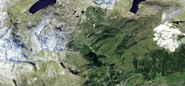
Bern / Obwalden · Switzerland
Brünig Pass
4Brienz to Lungern
The classic, easy-going crossing between Lake Lucerne country and the Bernese Oberland, linking Brienz and Lungern over a wooded 1,008 m saddle.
The Brünigpassstrasse (route 4) climbs from Brienz on Lake Brienz up to the 1,008 m Brünig saddle and down through Lungern toward Sarnen, the shortest road link between Interlaken and Lucerne. It is a smooth, fast, flowing pass rather than a technical one, with sweeping curves through forest and a fine viewpoint over the turquoise Lungernsee on the descent. Because it is the main route it carries real traffic and can be slow at weekends, but the surface is excellent and the rhythm enjoyable. Mostly open year-round. Mind heavy holiday and lorry traffic, slow-moving vehicles on the climbs, and the busy junctions at each end.
Where it runs6.8 mi · point to point
Navigate to the start: Apple Maps · Google Maps
Character
Corners
busiest around mile 1Elevation
under 4%4–8%over 8%598.3 – 1,031.9 mFrom the road
Points of interest3 stops
- BrünigpassViewpoint3.4 mi in
- SchoenbuehelViewpoint5.1 mi in
- KäppeliViewpoint5.9 mi in
Hazards
- Heavy holiday and lorry traffic
- Slow-moving vehicles on the climbs
- Busy junctions at both ends
Sources
“To start, brush up on your mountain driving and tight turns on the serene Brünig Pass (1008 m).”
Verified route: mapped from real road geometry and fact-checked by a human editor. How roads get checked
Driving the Brünig Pass: quick answers
How long does it take to drive the Brünig Pass?
How difficult is the Brünig Pass to drive?
When is the best time to drive the Brünig Pass?
Nearby roads
The closest great drives to Brünig Pass.