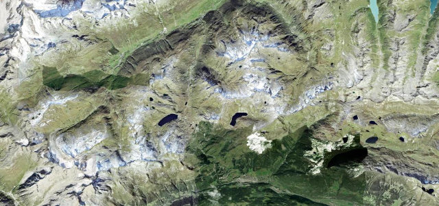
Ticino · Switzerland
Gotthard Pass
2Airolo to Hospental
A historic Alpine crossing above the cobbled Tremola.
The Gotthard Pass at 2,106 m is a grand historic Alpine crossing between Airolo and Andermatt, shadowing the cobbled Tremola up its wall of hairpins. Storied and scenic; mind the cobbles, the motorbikes, and weather that turns fast at the top.
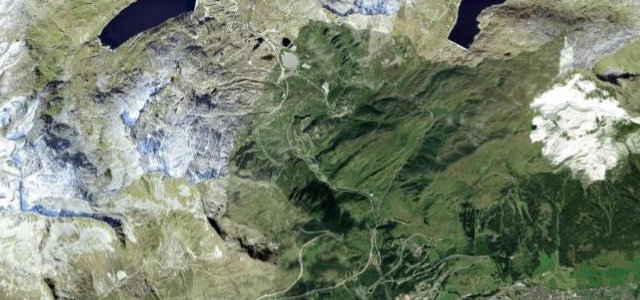
Drop down the south side and the old road turns to the Tremola: cobbles rippling through hairpin after hairpin, carved straight out of the granite.
Why we picked it
Where it runs13.9 mi · point to point
AiroloStart · Ticino
HospentalEnd · Ticino
Navigate to the start: Apple Maps · Google Maps
Character
Corners40bends
Tightness7of 10
Max gradient10%≈ 1-in-10
Hairpins9tight bends
Climb949 mtotal ascent
Summit2,107.9 mhighest point of the line · 6,916 ft
Corners
busiest around mile 2Elevation
under 4%4–8%over 8%1,167.3 – 2,107.9 mFrom the road
Points of interest3 stops
- Punto Panoramico della Val BedrettoViewpoint5.9 mi in
- Passo del San GottardoViewpoint9.2 mi in
- General Alexander SuvorovLandmark8.9 mi in
Hazards
- Cobbled, uneven surface
- Motorbikes in numbers
- Fast-changing summit weather
Sources
“24 curves on cobblestones... the longest architectural monument in Switzerland”
Verified route: mapped from real road geometry and fact-checked by a human editor. How roads get checked
Driving the Gotthard Pass: quick answers
How long does it take to drive the Gotthard Pass?
Gotthard Pass runs 13.9 miles (22 km) and takes about 31 min to drive without stops.
How difficult is the Gotthard Pass to drive?
We rate it demanding: 40 corners including 9 hairpins, a maximum gradient of 10%, and a tightness of 7 out of 10.
When is the best time to drive the Gotthard Pass?
Summer and Autumn are best.
Nearby roads
The closest great drives to Gotthard Pass.
Gotthard Pass
DirectionsGet the app