Grisons · Switzerland
Lukmanier Pass
416Disentis/Mustér to Olivone
A low main Alpine watershed crossing, Disentis to Ticino.
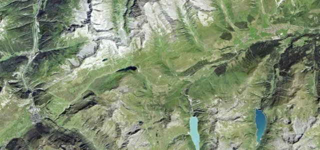
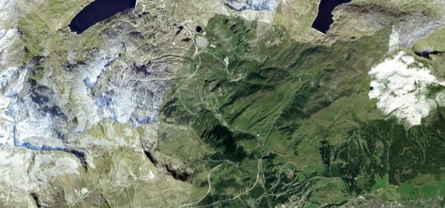
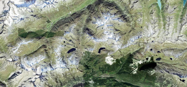
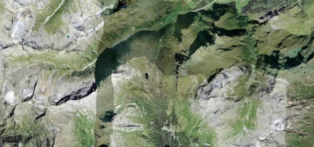
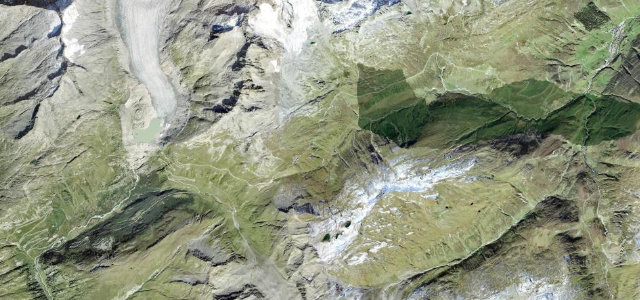
The Lukmanier Pass (1,915 m) carries main road 416 from Disentis in the Vorderrhein valley over the central Alps toward Biasca in Ticino, the lowest of the Swiss main passes crossing the principal Alpine watershed. The well-graded road runs past the Lai da Sontga Maria reservoir through gentle serpentines, with a maximum gradient of about 9%. It is kept open in most winters but frequently closes overnight and after heavy snow, so winter tyres and weather checks are essential.
Where it runs23.9 mi · point to point
Navigate to the start: Apple Maps · Google Maps
Character
Corners
busiest around mile 20Elevation
under 4%4–8%over 8%886.7 – 1,956.4 mFrom the road
Points of interest3 stops
- Passo del LucomagnoViewpoint11 mi in
- Lukmanier PasshöheViewpoint12 mi in
- Zollstation Kloster RuineLandmark1.1 mi in
Hazards
- Often closes overnight and after heavy snow
- Winter tyres required when open in winter
- Reservoir-side and tunnel sections near the summit
See the typical season and live conditions for the high passes ›
Sources
“It's a well-developed road with several serpentines. North of the pass, the road runs along the east shore of Lake Sontga Maria.”
Verified route: mapped from real road geometry and fact-checked by a human editor. How roads get checked
Driving the Lukmanier Pass: quick answers
How long does it take to drive the Lukmanier Pass?
How difficult is the Lukmanier Pass to drive?
When is the best time to drive the Lukmanier Pass?
Nearby roads
The closest great drives to Lukmanier Pass.